 Top
National Historic Site · 1820Yellowhead PassRoadside pullout, 9 km west of Jasper on Highway 16Public domain · Commons file
 Yellowhead Pass · Public domain
1historic place on the registers
History of Electoral Area H, Fraser-Fort George · Canada’s heritage registers
One place in Electoral Area H, Fraser-Fort George, at the top of the registers
Electoral Area H, Fraser-Fort George’s entry is Yellowhead Pass (1820), a national historic site. Just beyond the boundary, the registers place 3 more.
Historic places
1
Highest designations
1
National Historic Sites and Classified Federal Heritage Buildings
Oldest building
1820
the first construction date on its record
Homes built before 1961
10%
typical town: 18%
Through time
Electoral Area H, Fraser-Fort George in old pictures
From before 1950 comes the oldest view of one of its historic places. A tap opens it at full size, with its credit.
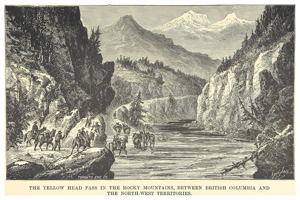 c. 1881
Public domain or CC0, made before 1950, from Wikimedia Commons; old views of places can be drawings, prints or maps of their time. Each credit opens the image’s page.
The map
Where Electoral Area H, Fraser-Fort George’s history is
Every place on the registers inside the town, by its designation.
Highest designations
Names show on hover, and a tap takes you to the place’s page.
The 1, by tier
1 Highest designations
The federal directory kept by Parks Canada supplies most of these places; provincial and municipal lists outside Québec aren’t open data, so only the ones Wikidata documents with an article appear.
Points from Wikidata (Parks Canada’s files carry none) and from Québec’s register, as mapped there.
Highest designations
One place in Electoral Area H, Fraser-Fort George with the highest designation
National Historic Sites and Classified Federal Heritage Buildings, Canada’s highest federal recognition. Each one opens its own page.
Around the town
Top-ranked heritage near Electoral Area H, Fraser-Fort George: 2 places within 100 km
The radius of 100 km holds 2. Closest of all is Barkerville, in Electoral Area C, Cariboo, 99 km off.
The 2 nearest, within 100 km
| BarkervilleNational Historic Site · 1862–1866 · 99 km away, in Electoral Area C, Cariboo |
| Chee Kung Tong BuildingNational Historic Site · 1874–1878 · 99 km away, in Electoral Area C, Cariboo |
Just outside Electoral Area H, Fraser-Fort George: 3
| Canadian National Railway Station, McBride, British ColumbiaHeritage Railway Station · 600 m outside the town |
| Adolphus Warden Patrol CabinRecognized Federal Heritage Building · 1.9 km outside the town |
| Hoodoo Warden CabinRecognized Federal Heritage Building · 4 km outside the town |
Homes by age
Only 10% of Electoral Area H, Fraser-Fort George’s homes go back before 1961 (18% is typical)
From 2016 on, Electoral Area H, Fraser-Fort George built 3.6% of its homes, near the typical 4.1%. Electoral Area H, Fraser-Fort George’s largest group of homes, 46%, went up from 1961 to 1980. 29% of Electoral Area H, Fraser-Fort George’s homes date from 1981 to 2000, well above the typical 23%.
10%
Before 1961
46%
1961–80
29%
1981–2000
12%
2001–15
3.6%
2016–21
Electoral Area H, Fraser-Fort GeorgeTypical town
2021 Census, private dwellings by period of construction (Statistics Canada); the typical town is the middle Canadian town of 2,500 or more.
In brief
Electoral Area H, Fraser-Fort George in brief
Inside Electoral Area H, Fraser-Fort George there are 1 historic place, one with the highest designation, led by Yellowhead Pass. Its homes are mostly newer: 10% were built before 1961, against 18% in the typical town. The rest is about typical: its one place was designated in 1971.
How to read these numbers
What this data can and can’t tell you
- The tiers. National Historic Sites and the most protected buildings form the top tier; recognized federal buildings, stations and lighthouses the second; provincial and municipal listings the third.
- People and events. Persons of national historic significance come with no location; a town gets one only by birthplace (name and both life years agreeing) or by one of its own places that bears the name and whose record tells the story. Events, which can’t be tied, are left out.
- Protection. Federal recognition isn’t a planning control: buildings the federal government owns follow its heritage policy, while others are protected only by a provincial or municipal designation.
- The grade. History isn’t one of Canada’s graded pillars, so this page describes and compares without a letter.
- Map points. Where a federal place sits on the map is Wikidata’s placing; the directory itself has no coordinates.
- The federal register. Federal places come from Parks Canada’s directory, which counts National Historic Sites, federal heritage buildings, stations and lighthouses; their statements are the register’s own.
- Provincial and municipal lists. The local and provincial lists outside Québec aren’t published openly, so this page counts what Wikidata records and pages only the places an encyclopedia describes.
Questions about Electoral Area H, Fraser-Fort George’s history
Which places in Electoral Area H, Fraser-Fort George have the highest designation?
It is Yellowhead Pass.
What is the oldest building in Electoral Area H, Fraser-Fort George?
Yellowhead Pass (National Historic Site): the first construction date on its record is 1820.
How old are the homes in Electoral Area H, Fraser-Fort George?
Before 1961: 10% of its homes; the typical town has 18%.
Contains information licensed under the Open Government Licence – Canada (Parks Canada).
Sources: Parks Canada, Directory of Federal Heritage Designations · Canadian Register of Historic Places (federal extract) · Wikidata (CC0) for map points, other names and articles · Statistics Canada, 2021 Census (homes by period of construction). Under the Statistics Canada Open Licence.
Adapted from Statistics Canada (Census of Population 2021, population estimates 2025, 2021 census boundaries) under the Statistics Canada Open Licence; this does not constitute an endorsement by Statistics Canada. Neighbourhood names in some cities © OpenStreetMap contributors (ODbL).