 Local
Provincial historic resourceParadise Valley Alberta Wheat Pool Grain ElevatorPhoto: Wilson Hui from Calgary, Canada · CC BY 2.0 · Commons file
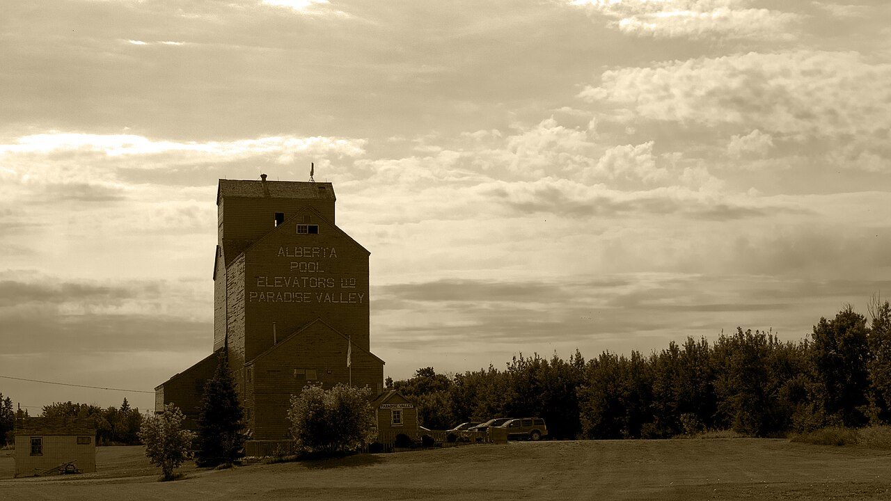 Paradise Valley Alberta Wheat Pool Grain Elevator · Photo: Wilson Hui from Calgary, Canada · CC BY 2.0
1historic place on the registers
History of Special Area No. 4 · Canada’s heritage registers
Special Area No. 4 has 1 historic place on the registers
Wikidata gives January 1, 1969 for the municipality, whether that is when it was founded, incorporated or merged. One further listing on a provincial or municipal register is known only through Wikidata, so it has no page of its own.
Historic places
1
Highest designations
0
National Historic Sites and Classified Federal Heritage Buildings
Provincial and local listings
1
provincial and municipal listings with an encyclopedia article
Homes built before 1961
20%
typical town: 18%
The map
Where Special Area No. 4’s history is
Every place on the registers inside the town, by its designation.
Provincial and local listings
Dots open their places’ pages; hover first to read the name.
The 1, by tier
1 Provincial and local listings
What the map shows is the open record: the federal directory in full, and from provincial or municipal lists only the places Wikidata ties to an encyclopedia article.
Points from Wikidata (Parks Canada’s files carry none) and from Québec’s register, as mapped there.
Provincial and local listings
One local listing in Special Area No. 4
Provincial and municipal listings that Wikidata records and an encyclopedia describes. Each one opens its own page.
Around the town
The heritage closest to Special Area No. 4: “Former Canadian Northern Railway Station, Hanna, Alberta”, at 78 km
They are spread over 2 towns, including Hanna and Special Area No. 3. The radius of 100 km holds 2. By designation: a heritage railway station and a provincial or municipal listing.
The 2 nearest, within 100 km
| Former Canadian Northern Railway Station, Hanna, AlbertaHeritage Railway Station · 1913–1914 · 78 km away, in Hanna |
| Alsask Radar DomeMunicipal heritage property · 1961 · 86 km away, in Special Area No. 3 |
Homes by age
Special Area No. 4’s building boom came from 1961 to 1980: 35% of its homes
More than half of Special Area No. 4’s housing predates 1981. Like the typical town (18%), Special Area No. 4 has 20% of its homes from before 1961. 20% of Special Area No. 4’s homes were built from 2001 to 2015, more than the typical town’s 15%.
20%
Before 1961
35%
1961–80
21%
1981–2000
20%
2001–15
3.6%
2016–21
Special Area No. 4Typical town
2021 Census, private dwellings by period of construction (Statistics Canada); the typical town is the middle Canadian town of 2,500 or more.
In brief
Special Area No. 4 in brief
Older stock first: 20% of homes in Special Area No. 4 were standing by 1961, against 18% in the typical town. All told, the registers hold 1 historic place.
How to read these numbers
What this data can and can’t tell you
- The grade. History isn’t one of Canada’s graded pillars, so this page describes and compares without a letter.
- Provincial and municipal lists. The local and provincial lists outside Québec aren’t published openly, so this page counts what Wikidata records and pages only the places an encyclopedia describes.
- Map points. Pins for federal places come from Wikidata rather than Parks Canada, which gives no points.
- The tiers. National Historic Sites and the most protected buildings form the top tier; recognized federal buildings, stations and lighthouses the second; provincial and municipal listings the third.
- The federal register. Every federal designation is in Parks Canada’s directory, and the Canadian Register of Historic Places gives most of them a bilingual statement of significance.
- People and events. Parks Canada’s open file gives its national historic persons no place. A town’s page names one only when the person was born there (matched by name and both life years) or one of its own historic places carries the name and its record speaks of them; national historic events stay off.
- Protection. A National Historic Site designation recognises significance; it doesn’t by itself protect a building the federal government doesn’t own. Legal protection comes from provincial and municipal designations, whose own registers aren’t open data outside Québec.
Questions about Special Area No. 4’s history
How many historic places does Special Area No. 4 have on the registers?
The registers list 1 historic place inside Special Area No. 4.
Why might a heritage building in Special Area No. 4 be missing here?
Only federal designations are fully open outside Québec. One more listing in Special Area No. 4 is known through Wikidata alone, so it is counted, not paged.
How old are the homes in Special Area No. 4?
The 2021 Census dates 20% of its homes before 1961 (18% in the typical town).
Contains information licensed under the Open Government Licence – Canada (Parks Canada).
Sources: Parks Canada, Directory of Federal Heritage Designations · Canadian Register of Historic Places (federal extract) · Wikidata (CC0) for map points, other names and articles · Statistics Canada, 2021 Census (homes by period of construction). Under the Statistics Canada Open Licence.
Adapted from Statistics Canada (Census of Population 2021, population estimates 2025, 2021 census boundaries) under the Statistics Canada Open Licence; this does not constitute an endorsement by Statistics Canada. Neighbourhood names in some cities © OpenStreetMap contributors (ODbL).