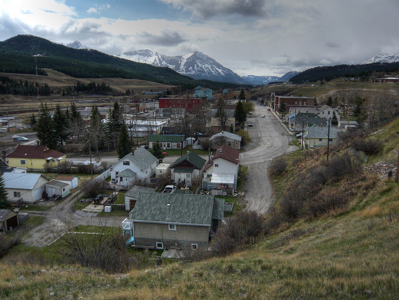
Coleman
Also known as International Coal and Coke Company
About Coleman
In Crowsnest Pass, Coleman is the National Historic Site. By its record, Coleman was built in 1903–1972.
Coleman National Historic Site of Canada is a small community situated in the Crowsnest Pass, which is the major transportation route through the southern Canadian Rockies. The distinctive character and layout of the historic townsite is determined by a flat area of land bounded by the Crowsnest River to the south, and the irregular line of the steeply sided outcropping of rock to the north. The townsite itself is divided through the middle by the Canadian Pacific Railroad (CPR) railway line, which separates the mine site from the community areas on the north side. The remnants of the historic mine site consist of a few service buildings, some of which date from the first decades of the mine's operation, a row of coke ovens and the massive steel-frame and metal processing plant which dates from 1971.
From the Canadian Register of Historic Places, Coleman National Historic Site of Canada · Open Government Licence – Canada · in the register’s words, not edited
National Historic Site status comes on the advice of the Historic Sites and Monuments Board of Canada.
Finding Coleman
Crowsnest Pass


Its nearest historic neighbours are too far for a short walk.
Questions about Coleman
Can you visit Coleman?
From outside, yes; going in depends on who owns or runs it.
Is Coleman protected?
National Historic Site status commemorates; legal protection, where there is any, comes from the province or municipality, or from federal ownership.
What is Coleman?
Coleman is a National Historic Site of Canada, designated in 2001.
When was Coleman built?
Work on Coleman is recorded as 1903–1972.
Contains information licensed under the Open Government Licence – Canada (Parks Canada).
Sources: Parks Canada, Directory of Federal Heritage Designations · Canadian Register of Historic Places (federal extract) · Photos: Wikimedia Commons, each credited with its licence and copied to our own server · Wikidata (CC0) for map points, other names and articles.
Adapted from Statistics Canada (Census of Population 2021, population estimates 2025, 2021 census boundaries) under the Statistics Canada Open Licence; this does not constitute an endorsement by Statistics Canada. Neighbourhood names in some cities © OpenStreetMap contributors (ODbL).