Most of Westley was built recently: 0.0% of its homes predate 1940 and the median home dates from 1985. Below: 6 old photos and papers, maps from 1915 on, and the census since 2000.
Oxford Energy had a major stake in a large local scrap tire pile operation. When it mostly burnt down in 1997, it was the largest single collection of waste tires on the west coast.
Filbin had begun trucking used tires into Ed's Tire Disposal even before the construction of I-5 between 1956 and 1979. Oxford Energy had been dumping near Westley in various piles since the 1950s.
Oxford Energy officials heard about it causing an eyesore and environmental blight and in 1984 approached both Filbin and the county, proposing the tire-to-energy project. However, it was turned down on environmental grounds.
About 10,000-20,000 tires were being dumped there each day in 1957. It was under a 24-hour security guard.
Passages that mention Westley, cut from the printed page as they were published.
History of Stanislaus County California1921 · page 1300Read the page →
Read the text
Following his marriage, Mr. Fay came to Stanislaus County, being transferred to Westley as section foreman for the Southern Pacific, in which capacity he served until November, 1909. He then bought the Ed. Richards ranch northwest of Westley. Resigning his position, he engaged in grain farming, and has brought his land under a high state of productivity, raising principally grain. He has a complete tractor equipment and other modern machinery for scientific grain farming, and has greatly improved his property, making it an attractive home place. In 1917, he bought an additional 170 acres adjoining him on the west, and now owns one of the
Text read by machine from the scan; it may contain errors.
Scans and text from the Internet Archive. Books published in 1930 or earlier, which are in the public domain.
Timeline
Westley, 1889 to 1937
Woven from the archive, old maps, post office records, the National Register and the people born here.
Nothing in the archives for these yearsWeddings on Main Street, storms, parades, school pictures, the old store. If it’s in your family album, it belongs here.
Founding dates: Wikidata, Wikipedia, the U.S. post office records of Blevins & Helbock (CC0) and the Census. Homes by year built: Census ACS 2020–24. National Register of Historic Places: National Park Service (list of May 22, 2026). Old photos, postcards and papers: Wikimedia Commons, the Library of Congress and other public archives, credited on each item’s page. Maps: U.S. Geological Survey historical topographic maps (via Esri) and Sanborn fire-insurance maps (Library of Congress). History text and census tables: Wikipedia (CC BY-SA 4.0). Places that used to be: USGS Geographic Names Information System (2021). How TownRatings grades history →
From Wikimedia Commons (2), the Library of Congress (4), Wikipedia, U.S. Geological Survey historical maps, U.S. Census counts (via Wikipedia), the US Post Offices dataset (Blevins & Helbock), the USGS Geographic Names Information System and old county and town histories (Internet Archive). Archive images are copied here with their credits and licenses, shown on each photo’s page. Refreshed monthly.


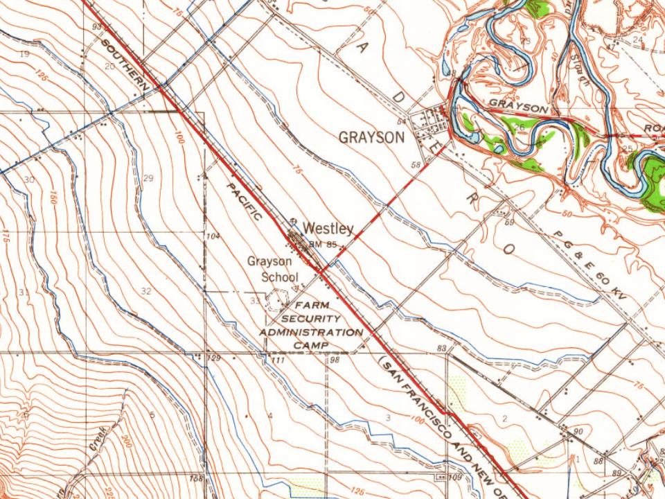

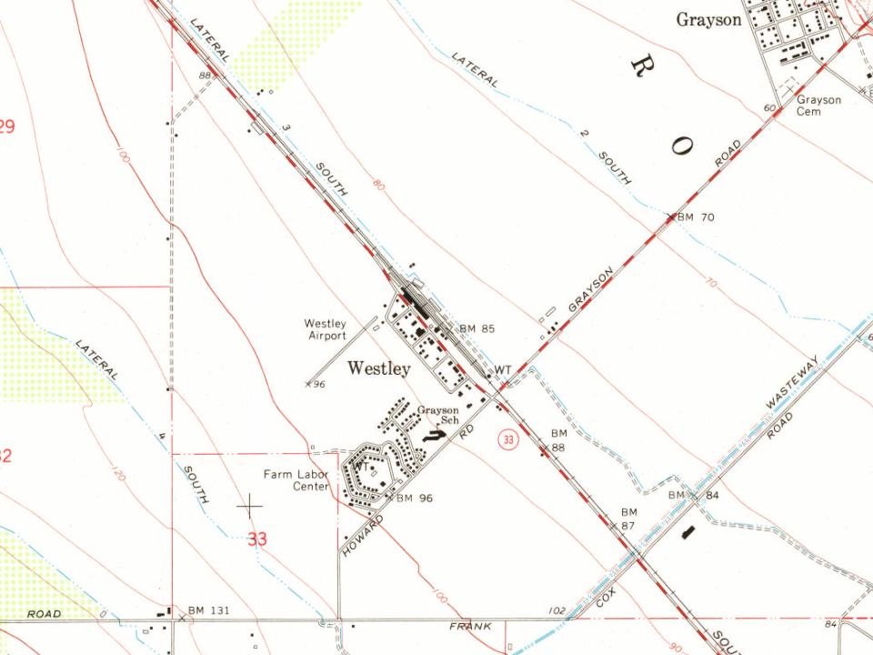

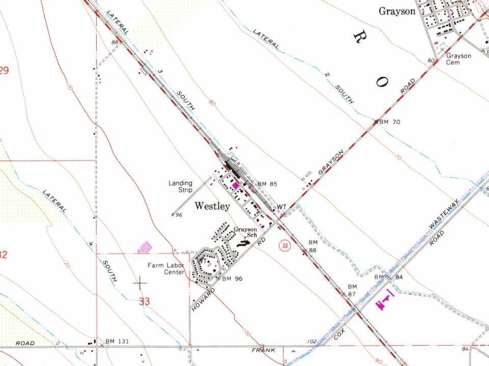


 1938
 1938
 1938
 1938
 1938