TecopaCA
This town of 201 people was settled in 1877.
Is Tecopa a good place to live?
27% of residents live below the poverty line in Tecopa, above both the California town median (10%) and the median of U.S. towns (9.6%). Tecopa’s concentration of trails is 1.5 miles per square mile, above both the California town median (1.0) and the median of U.S. towns (0.4). The biggest park or preserve is Tecopa Ecological Reserve, at 72 acres. Tecopa has fewer than 1,000 residents, too few for fair grades; the figures below are still real.
201 people, and everyone knows the way
In a town this size, neighbors are the best guide. Ask them anything.
Death Valley National Park and 2 more within 40 miles
Museums, parks, gardens and other places to visit around Tecopa. Close and well known come first.
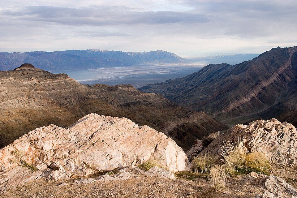 Big draw8 mi National ParkDeath Valley National Park1.3M visitors a year
 33 mi National PreserveMojave National Preserve570K visitors a year
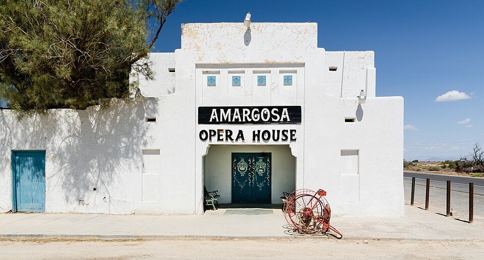 35 mi TheatreAmargosa Opera House and Hotel
Photo credits
Death Valley National Park: Greg Willis from Denver, CO, usa, CC BY-SA 2.0 · Mojave National Preserve: InyoCima, CC BY-SA 3.0 · Amargosa Opera House and Hotel: Tuxyso, CC BY-SA 3.0


Moving to Tecopa: who provides what
Tecopa is unincorporated, so Inyo County and regional agencies provide most services.
EPA SDWIS (Oct 9, 2026) · HIFLD + EIA-861 2025 · Census 2020 ZCTAs · NCES 2024–25 · registration: vote.gov, updated Nov 18, 2024.
The data
Ordered by what stands out in Tecopa.
| School | Level | Students | Letter |
|---|---|---|---|
| Tecopa-Francis ElementaryLargest public elementary schoolGrades K–6 | Grades K–6 | – | – |
NCES · EDFacts
Top of a high hazard risk in Tecopa: avalanches
FEMA puts 37% of Tecopa’s expected hazard losses down to avalanches, and 26% to heat waves. For Tecopa, the risk rating from FEMA is 79 of 100.
FEMA National Risk Index · OpenFEMA
A typical July afternoon in Tecopa is hotter than in most of California or the rest of the country
Summers in Tecopa are scorching, and winters mild, with very little rain. July afternoons reach 107°, January nights drop to 38° and snow is almost unheard of.
Typical low → high °F
NOAA U.S. Climate Normals, 1991–2020
A larger share of adults in Tecopa have high blood pressure than in the typical California or U.S. town
31% of Tecopa adults feel lonely. This California town beats the California average on 12 of 32 CDC measures and trails it on 12. Two figures for adults here: 18% report frequent physical distress, 12% binge drink.
| Tecopa | California towns | U.S. towns | |
|---|---|---|---|
| High blood pressure (CDC PLACES) | 43% | 31% | 35% |
| Frequent physical distress (CDC PLACES) | 18% | 14% | 14% |
| Binge drink (CDC PLACES) | 12% | 16% | 16% |
| Diabetes (CDC PLACES) | 15% | 12% | 12% |
| What stands out | Tecopa | CA |
|---|---|---|
| Fewer uninsured adults | 5.4% | 10.6% |
| Fewer adults facing housing insecurity | 10.7% | 14.9% |
| More adults who have had cancer | 12.9% | 6.4% |
CDC PLACES 2025 · modeled estimates for adults · CMS · HRSA
| Biggest places to walk | Trails | Acres |
|---|---|---|
| 1. Kingston Range Wilderness | 0.8 mi | 55 |
| 2. Tecopa Ecological Reserve | 0.6 mi | 72 |
| 3. Tecopa Park & Campground | 0.1 mi | 34 |
Trails & parks © OpenStreetMap contributors · Conserved land: USGS PAD-US
Census ACS, 2020–24 · Zillow Home Value Index · Redfin Data Center
Everything we know about Tecopa
Colleges nearby
None within 15 miles of Tecopa; the nearest are
About 0 of every 100 Tecopa residents are enrolled in college, against 8 across California.
Questions about Tecopa
Short answers, built from the data on this page.
Is Tecopa, CA a good place to live?
Tecopa has fewer than 1,000 residents, too few for fair grades; the figures below are still real.