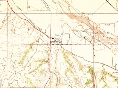
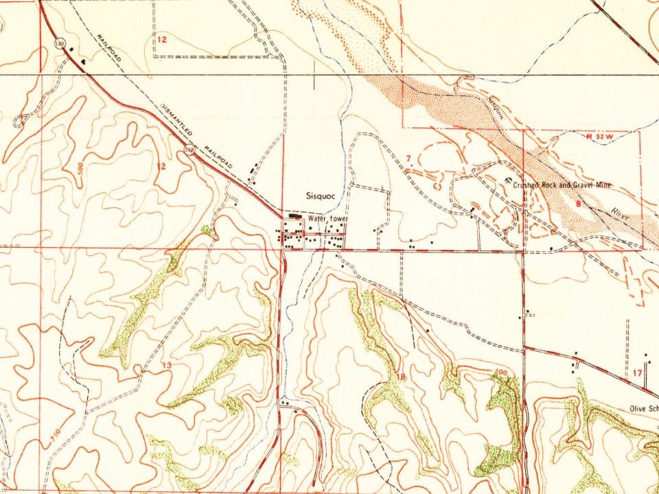
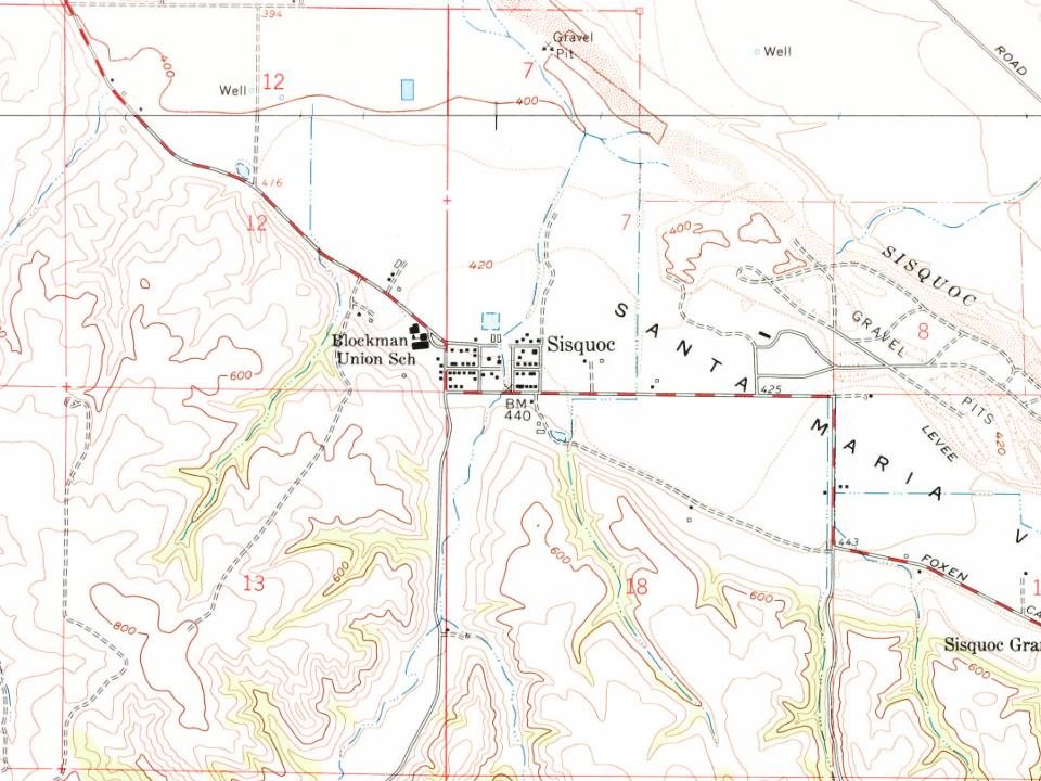
The Sisquoc post office opened in 1881, the earliest record of the town by name. Another post office, Foxen (1910), opened inside today’s town and later closed.
2020 census: 191145 years
Founding year: the first Sisquoc post office (Blevins & Helbock, CC0).
What stands out about Sisquoc’s past
Read from the archive, the National Register and the record. The page puts what stands out first.
Wikipedia doesn’t have a history of Sisquoc yet. The photos, dates and memories neighbors add here are how it gets written.
Sisquoc (Chumash for "quail") is a census-designated place in Santa Barbara County, California located east of U.S. Route 101 about 15 miles (24 km) southeast of Santa Maria and 5 miles (8.0 km) south of Garey. The ZIP Code is 93454, and the community is inside area code 805. Sisquoc has a fire station, a church, a Preschool-8 school and a store. It has a micro-climate with mild weather year-round. The population was 191 at the 2020 census. The town is at the intersection of Palmer Road and Foxen Canyon Road, at the southwestern edge of the floodplain of the Sisquoc River. The predominant land use on the plain is agriculture, while the hills to the south and west contain the Cat Canyon Oil …
Its first post office opened in 1881. Between the 2010 and 2020 censuses its population grew from 183 to 191 (+4%).
Intro from Wikipedia. Population: U.S. Census Bureau.
Timeline
Sisquoc, 1881 to 1947
Woven from the archive, old maps, post office records, the National Register and the people born here.
Founding dates: Wikidata, Wikipedia, the U.S. post office records of Blevins & Helbock (CC0) and the Census. Homes by year built: Census ACS 2020–24. National Register of Historic Places: National Park Service (list of May 22, 2026). Old photos, postcards and papers: Wikimedia Commons, the Library of Congress and other public archives, credited on each item’s page. Maps: U.S. Geological Survey historical topographic maps (via Esri) and Sanborn fire-insurance maps (Library of Congress). History text and census tables: Wikipedia (CC BY-SA 4.0). Places that used to be: USGS Geographic Names Information System (2021). How TownRatings grades history →
From U.S. Geological Survey historical maps, the US Post Offices dataset (Blevins & Helbock) and the USGS Geographic Names Information System. Archive images are copied here with their credits and licenses, shown on each photo’s page. Refreshed monthly.