
Sierraville School · National Register of Historic Places
Sierraville’s story
127 years in pictures
1 place on the National Register of Historic Places.
- 1899Sierraville is settled
Each edition grades its towns against each other only.
A town of 351, settled in 1899.
Sierraville’s typical journey to work is 49 minutes, above both the California town median (28 minutes) and the median of U.S. towns (25 minutes). No town among the 848 in California we compare has a lower share of adults with a bachelor’s degree than Sierraville. Sierraville School and Webber Lake Hotel is on the National Register of Historic Places. Sierraville has fewer than 1,000 residents, too few for fair grades; the figures below are still real.
In a town this size, neighbors are the best guide. Ask them anything.
1 place on the National Register of Historic Places.
Sierraville is unincorporated, so Sierra County and regional agencies provide most services.
EPA SDWIS (Oct 9, 2026) · HIFLD + EIA-861 2025 · Census 2020 ZCTAs · NCES 2024–25 · registration: vote.gov, updated Nov 18, 2024.
Ordered by what stands out in Sierraville.
43% of Sierraville’s expected losses from natural hazards come from inland flooding, followed by wildfires at 41%. Expected storm and flood damage is higher than in 99% of U.S. communities.
FEMA National Risk Index · OpenFEMA
| School | Level | Students | Letter |
|---|---|---|---|
| William R. Rouse ROPLargest public high schoolGrades 10–12 | Grades 10–12 | – | – |
NCES · EDFacts
In the year to September 2026, typical home values slipped 5.5%. The share of households in Sierraville who are owner-occupiers: 80%.
Census ACS, 2020–24 · Zillow Home Value Index · Redfin Data Center
The top destinations are Truckee (18%), Loyalton (11%) and Downieville (11%).
Census LEHD 2023 · ACS
Tahoe National Forest, at 557 acres with 2.6 miles of trail, is the biggest park or preserve. Trails total 3.6 miles in 1 park or preserve. Sierraville’s density of trails stands at 0.7 miles per square mile.
| Biggest places to walk | Trails | Acres |
|---|---|---|
| 1. Tahoe National Forest | 2.6 mi | 557 |
Trails & parks © OpenStreetMap contributors · Conserved land: USGS PAD-US
Its midsummer high stands at 85°F.
NOAA U.S. Climate Normals, 1991–2020
18% of adults report frequent mental distress in Sierraville. The town beats the California average on 8 of 32 CDC measures and trails it on 12.
| Sierraville | California towns | U.S. towns | |
|---|---|---|---|
| Frequent physical distress (CDC PLACES) | 18% | 14% | 14% |
| High blood pressure (CDC PLACES) | 41% | 31% | 35% |
| Fair or poor health (CDC PLACES) | 26% | 22% | 19% |
| Diabetes (CDC PLACES) | 14% | 12% | 12% |
| What stands out | Sierraville | CA |
|---|---|---|
| Fewer uninsured adults | 7.2% | 10.6% |
| Fewer adults facing housing insecurity | 11.5% | 14.9% |
| More adults with COPD | 10.7% | 5.1% |
CDC PLACES 2025 · modeled estimates for adults · CMS · HRSA
Museums, parks, gardens and other places to visit around Sierraville. Close and well known come first.
 Big draw39 mi LakeLake Tahoe
 19 mi LakeDonner Lake
 28 mi Ski areaPalisades Tahoe Olympic Valley122 runs · 2,542 ft vertical
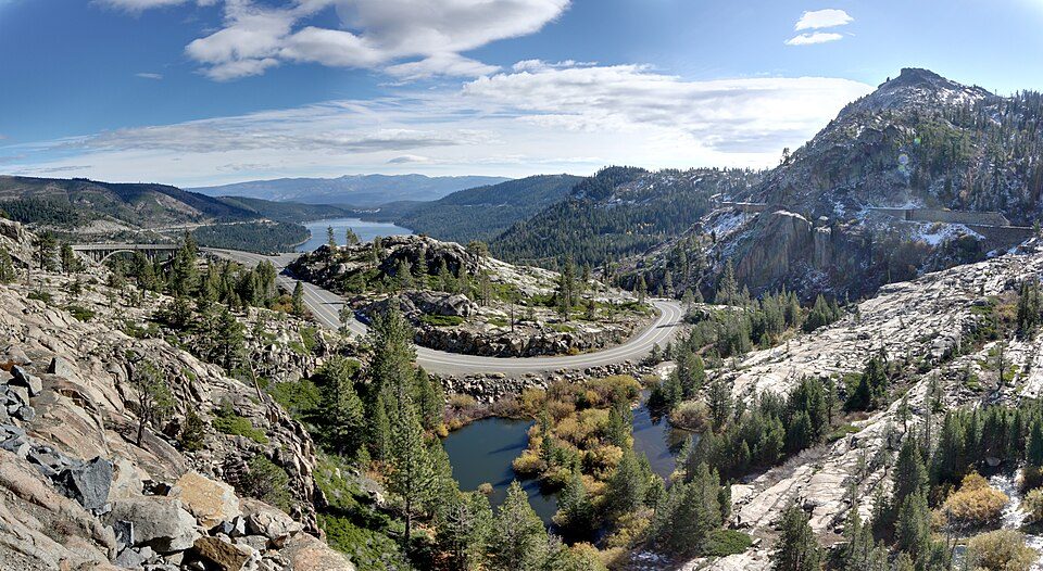 19 mi State parkDonner Memorial State Park20 mi Ski areaSugar Bowl Resort94 runs · 1,452 ft vertical
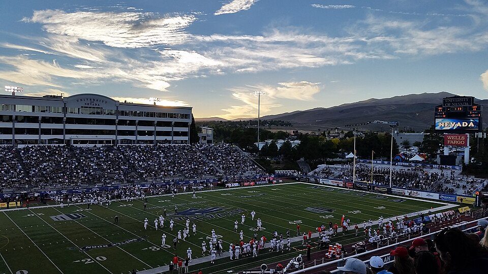 29 mi Stadium & arenaMackay Stadium
Lake Tahoe: Lara Farhadi, CC BY 2.0 · Donner Lake: J.smith, CC BY-SA 3.0 · Palisades Tahoe Olympic Valley: Jonnyboyca at English Wikipedia, Public domain · Donner Memorial State Park: Joe Parks from Berkeley, CA, CC BY 2.0 · Mackay Stadium: Lanski, CC BY-SA 4.0
None within 15 miles of Sierraville; the nearest are
College town 19 of every 100 Sierraville residents are enrolled in college, against 8 across California.
Where Sierraville’s working residents go each day. Line width shows the share.
Census LEHD 2023
Short answers, built from the data on this page.
Sierraville has fewer than 1,000 residents, too few for fair grades; the figures below are still real.


