Wikipedia doesn’t have a history of Sattley yet. The photos, dates and memories neighbors add here are how it gets written.
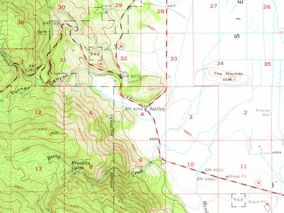
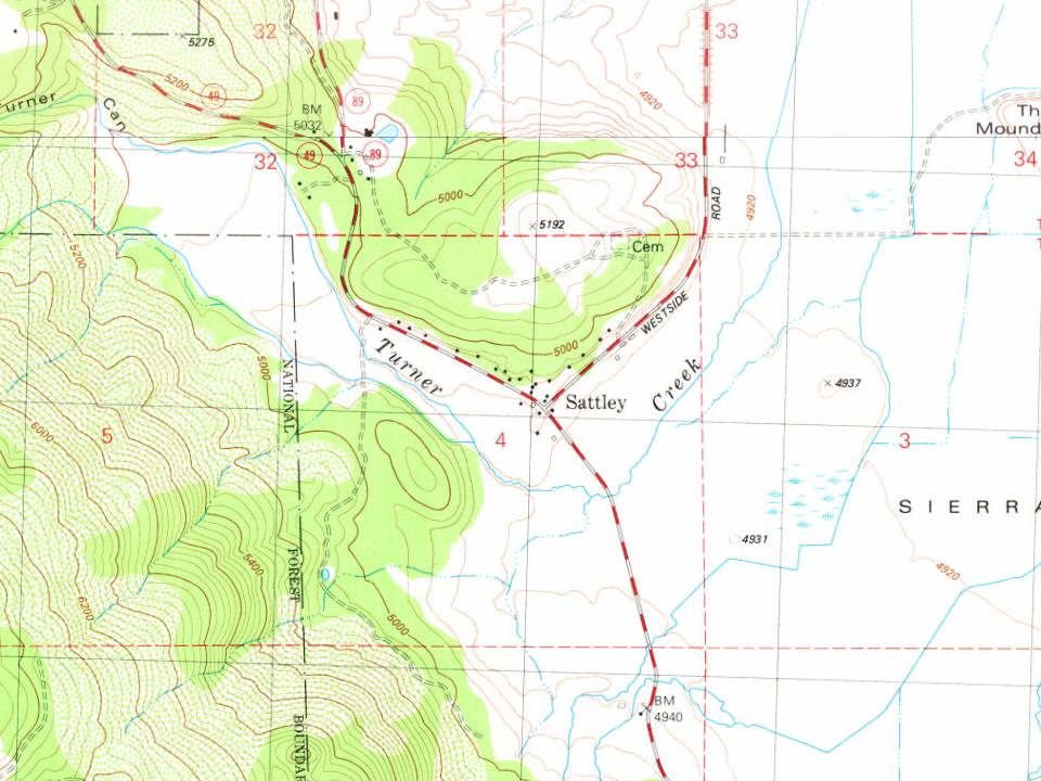
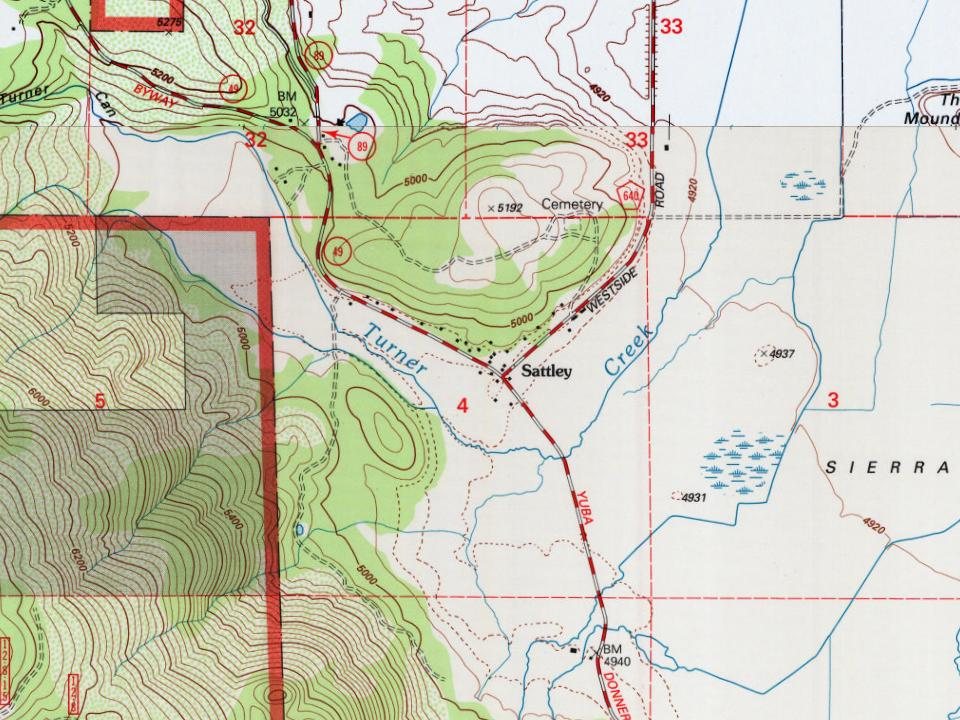
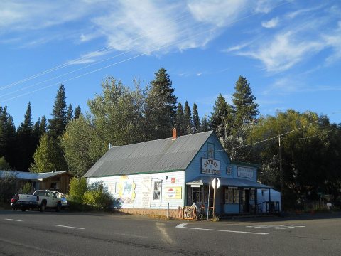
Sattley, formerly known as Church's Corners, is a census-designated place in Sierra County, California, United States. Sattley is located on state routes 49 and 89, southwest of Loyalton. According to the Sattley-Sierraville community association, it was named after resident Harriet Sattley Church. The community board also states that the town was founded in 1881 by Eric Amen, a wealthy prospector. The post office in Sattley opened in 1884. As of the 2020 census, Sattley had a population of 44.
Its first post office opened in 1884. Between the 2010 and 2020 censuses its population fell from 49 to 44 (-10%).
Intro from Wikipedia. Population: U.S. Census Bureau.
Founding dates: Wikidata, Wikipedia, the U.S. post office records of Blevins & Helbock (CC0) and the Census. Homes by year built: Census ACS 2020–24. National Register of Historic Places: National Park Service (list of May 22, 2026). Old photos, postcards and papers: Wikimedia Commons, the Library of Congress and other public archives, credited on each item’s page. Maps: U.S. Geological Survey historical topographic maps (via Esri) and Sanborn fire-insurance maps (Library of Congress). History text and census tables: Wikipedia (CC BY-SA 4.0). Places that used to be: USGS Geographic Names Information System (2021). How TownRatings grades history →
From Wikimedia Commons (4), the Library of Congress (1), U.S. Geological Survey historical maps, the US Post Offices dataset (Blevins & Helbock) and the USGS Geographic Names Information System. Archive images are copied here with their credits and licenses, shown on each photo’s page. Refreshed monthly.
 2019
 2019
 2019
 2012
 2012