More historic than 8% of U.S. towns · #724 of 847 in California. What drives it
Most of San Joaquin was built recently: 2% of its homes predate 1940 and the median home dates from 1984. Below: 2 old photos and papers, maps from 1925 on, and the census since 1930.
Founding year: the first San Joaquin post office (Blevins & Helbock, CC0). Wikidata: 1920.The full story ↓
History grade
What drives San Joaquin’s History grade
On its age, its old homes and the National Register, San Joaquin is more historic than 8% of U.S. towns, #724 of 847 in California. Its National Register listings hold the grade up; its age pulls it down.
D
HistoryA character grade: shown, never part of San Joaquin’s overall grade.
Few California towns list much on the Register (a typical California town has 0.0 per 10,000 residents, the U.S. 2.4), so San Joaquin’s 0.0 sits below most of its state (31% of California towns have fewer) while its 0 listings outnumber those of 23% of U.S. towns.
How sure. Graded on any two of the three inputs instead, the letter would still be D. The pre-1940 share is a Census survey estimate (±3.0 points). The founding year is the first post office, not a stated founding date; Wikidata’s 1920 falls in the same era, so the grade doesn’t depend on which one is used.
Founding year: the first post office (other dates in Quick answers). Homes: Census ACS 2020–24. National Register: National Park Service, May 2026 list; each listing counted once (boundary changes and added documentation belong to their listing), and a historic district counts its contributing buildings. How TownRatings grades history →
What stands out about San Joaquin’s past
Read from the archive, the National Register and the record. The page puts what stands out first.
The city is located within what was once the James Ranch, owned by Jefferson G. James (1829–1910). In 1912, the 76,000 acre ranch was bought by Benjamin F. Graham (1868–1935), who announced his intent to sell it in 60-to-80 acre tracts. The nucleus of the land development project would be a new city near Tranquillity, named "Graham", for which construction began immediately, including an announced plan for a railroad spur line leading to it to be laid "within two weeks".
Passages that mention San Joaquin, cut from the printed page as they were published.
History of the state of California and biographical record of the San Joaquin Valley, California. An historical story of the state's marvelous growth from its earliest settlement to the present time1905 · page 919Read the page →
Read the text
and became station agent at Pantano, Pima county, Ariz., where he remained for five years, and then returned to California as operator at Lathrop, San Joaquin count}-. After seven months at the latter place, August 10, 1893, he became station agent for the Southern Pacific at Dinuba, and that position he continued to fill until October 25, 1902, when he resigned to accept
Text read by machine from the scan; it may contain errors.
History of San Joaquin County, California1923 · page 296Read the page →
Read the text
The Woodbridge Academy Woodbridge, because of its academy, was known as the "Athens" of San Joaquin county, and the academy later called the San Joaquin Valley College was a notable school of education because of the unusual large number of bright young men graduates in proportion to its enrollment. The school was founded in a
Text read by machine from the scan; it may contain errors.
History of San Joaquin County, California1923 · page 591Read the page →
Read the text
The father of our subject, Thomas Edgar Wilkinson, crossed the plains to California with ox-teams in 1861, with his mother and other members of the family, joining the father in San Joaquin County, and afterward the family took up their abode near Woodbridge. He was educated in the schools of San Joaquin County and from the age of fourteen has made his own living. His fine homestead farm
Text read by machine from the scan; it may contain errors.
History of the state of California and biographical record of the San Joaquin Valley, California. An historical story of the state's marvelous growth from its earliest settlement to the present time1905 · page 686Read the page →
Read the text
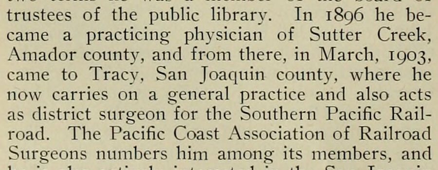
trustees of the public library. In 1896 he became a practicing physician of Sutter Creek, Amador county, and from there, in March, 1903, came to Tracy, San Joaquin county, where he now carries on a general practice and also acts as district surgeon for the Southern Pacific Railroad. The Pacific Coast Association of Railroad Surgeons numbers him among its members, and
Text read by machine from the scan; it may contain errors.
Scans and text from the Internet Archive. Books published in 1930 or earlier, which are in the public domain.
Timeline
San Joaquin, 1913 to 1980
Woven from the archive, old maps, post office records, the National Register and the people born here.
Nothing in the archives for these yearsWeddings on Main Street, storms, parades, school pictures, the old store. If it’s in your family album, it belongs here.
The San Joaquin post office opened in 1913, the earliest record of the town by name (U.S. post office records). Wikidata gives 1920.
How does San Joaquin rank for history?
San Joaquin is more historic than 8% of U.S. towns, #724 of 847 in California. The History grade combines the town’s founding era, the share of homes built before 1940 and its National Register listings. It’s a character grade, so it isn’t part of the overall grade. How it works.
How old are the homes in San Joaquin?
2% of San Joaquin’s homes were built before 1940 (Census estimate, ±3.0 points), against a typical 3.4% for a California town; the median home was built in 1984.
Founding dates: Wikidata, Wikipedia, the U.S. post office records of Blevins & Helbock (CC0) and the Census. Homes by year built: Census ACS 2020–24. National Register of Historic Places: National Park Service (list of May 22, 2026). Old photos, postcards and papers: Wikimedia Commons, the Library of Congress and other public archives, credited on each item’s page. Maps: U.S. Geological Survey historical topographic maps (via Esri) and Sanborn fire-insurance maps (Library of Congress). History text and census tables: Wikipedia (CC BY-SA 4.0). Places that used to be: USGS Geographic Names Information System (2021).
From Wikimedia Commons (2), the Library of Congress (1), Wikipedia, Wikidata and Wikipedia for famous people, U.S. Geological Survey historical maps, U.S. Census counts (via Wikipedia), the US Post Offices dataset (Blevins & Helbock), the USGS Geographic Names Information System and old county and town histories (Internet Archive). Archive images are copied here with their credits and licenses, shown on each photo’s page. Refreshed monthly.




 Date?
 2022
