131 years in pictures
Census counts: 436 in 2000, 510 in 2020. The archive holds 3 old photos and papers going back to 1855 and 4 maps from 1914 on.
- 1895San Geronimo is settled
Each edition grades its towns against each other only.
A town of 583, settled in 1895.
66% of the land in San Geronimo is conserved, against 4.3% in California’s towns and 4.3% across U.S. towns. The biggest place to walk is Gary Giacomini Open Space Preserve, 578 acres with 5.5 miles of trail. San Geronimo has fewer than 1,000 residents, too few for fair grades; the figures below are still real.
In a town this size, neighbors are the best guide. Ask them anything.
Census counts: 436 in 2000, 510 in 2020. The archive holds 3 old photos and papers going back to 1855 and 4 maps from 1914 on.
Museums, parks, gardens and other places to visit around San Geronimo. Close and well known come first.
Big draw18 mi MuseumAlcatraz Federal Penitentiary
8 mi National MonumentMuir Woods National Monument757K visitors a year
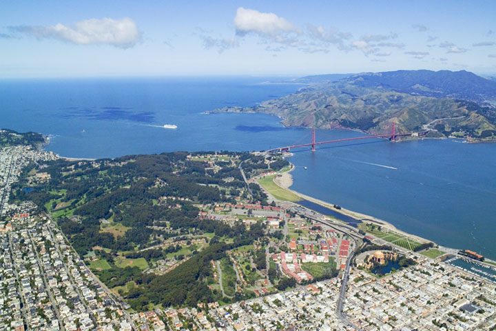
Big draw18 mi GardenPresidio of San Francisco
Big draw19 mi LandmarkLombard Street
Big draw22 mi Stadium & arenaChase Center
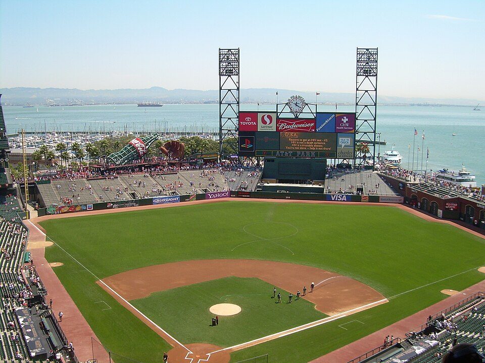
Big draw22 mi Stadium & arenaOracle ParkAlcatraz Federal Penitentiary: druchoy, CC BY-SA 2.0 · Muir Woods National Monument: Unknown, CC BY-SA 3.0 · Presidio of San Francisco: Robert Campbell, CC BY-SA 3.0 · Lombard Street: The original uploader was Y6y6y6 at English Wikipedia., Public domain · Chase Center: Gregory Varnum, CC BY-SA 4.0 · Oracle Park: User Coasttocoast on en.wikipedia, CC BY-SA 3.0
San Geronimo is unincorporated, so Marin County and regional agencies provide most services.
EPA SDWIS (Oct 9, 2026) · HIFLD + EIA-861 2025 · Census 2020 ZCTAs · NCES 2024–25 · registration: vote.gov, updated Nov 18, 2024.
Ordered by what stands out in San Geronimo.
San Geronimo’s trail density stands at 4.4 miles per square mile, where California’s towns sit at 1.0 and U.S. towns at 0.4. Trails run 6.6 miles in 4 parks and preserves.
| Biggest places to walk | Trails | Acres |
|---|---|---|
| 1. Gary Giacomini Open Space Preserve | 5.5 mi | 578 |
| 2. San Geronimo Meadow | 0.3 mi | 8 |
| 3. San Geronimo Park | — | 8 |
Trails & parks © OpenStreetMap contributors · Conserved land: USGS PAD-US
Since 1982, San Geronimo has seen 34 flood insurance claims paid out. FEMA expects more storm and flood damage locally than in 99% of U.S. communities. Of the losses FEMA expects here, 59% come from inland flooding and 30% from earthquakes. One declared disaster, in 2005, has brought federal aid to San Geronimo households.
FEMA flood insurance claims · FEMA disaster declarations and aid · FEMA National Risk Index · OpenFEMA
90% of San Geronimo households are owner-occupiers. Over the 12 months to September 2026, the typical home gained 2.4% in value.
Census ACS, 2020–24 · Zillow Home Value Index · Redfin Data Center
The top destinations are San Francisco (16%), San Rafael (11%) and San Anselmo (4%). Just 2% of San Geronimo’s working residents have a job in town. Also worth knowing: this California town had 111 jobs in 2023, down 33 from 2013. Half of commuters travel less than 21 miles.
| San Geronimo | California towns | U.S. towns | |
|---|---|---|---|
| Working residents who work in town | 1.9% | 6.6% | 8% |
| Average trip to work | 26 minutes | 28 minutes | 25 minutes |
Census LEHD 2023 · ACS
For San Geronimo, the peak summer temperature is 76°F.
NOAA U.S. Climate Normals, 1991–2020
3.8% of adults 18 to 64 have no health insurance in San Geronimo. The town beats the California average on 17 of 32 CDC measures and trails it on 5. In San Geronimo, 22% of adults have obesity, and 13% report frequent mental distress.
| San Geronimo | California towns | U.S. towns | |
|---|---|---|---|
| Feel lonely (CDC PLACES) | 27% | 36% | 33% |
| Obesity (CDC PLACES) | 22% | 29% | 35% |
| Frequent mental distress (CDC PLACES) | 13% | 17% | 17% |
| Sleep under 7 hours (CDC PLACES) | 29% | 35% | 36% |
| What stands out | San Geronimo | CA |
|---|---|---|
| Fewer uninsured adults | 3.8% | 10.6% |
| Fewer adults facing food insecurity | 6.7% | 17.9% |
| More adults who have had cancer | 12.8% | 6.4% |
CDC PLACES 2025 · modeled estimates for adults · CMS · HRSA
3 within 15 miles of the center of San Geronimo
College town 17 of every 100 San Geronimo residents are enrolled in college, against 8 across California.
66.3% of the town is conserved land, across 4 parks and preserves.
Place in California, United States
San Geronimo (Spanish: San Gerónimo, meaning "St. Jerome") is a census-designated place (CDP) located in the San Geronimo Valley in Marin County, California, United States. San Geronimo is bordered by Lagunitas-Forest Knolls to its west and Woodacre to its east. It is 8 miles (13 km) southwest of downtown Novato at an elevation of 292 feet (89 m). The population was 510 at the 2020 census.
From Wikipedia, licensed CC BY-SA 4.0 · facts via Wikidata (CC0)
Short answers, built from the data on this page.
San Geronimo has fewer than 1,000 residents, too few for fair grades; the figures below are still real.