Guest, Sign inJoin

Post to Pajaro

We’ll email a one-tap link to publish your post. No password, and nothing is public until you click it.
Already a member? Sign in
Pajaro
California›Monterey County

PajaroCA

A town of 2,899, settled in 1872.

1 bordering townMap →
Porter-Vallejo Mansion · Photo: User:Ronbo76 · CC BY 2.5
Photo of Pajaro

Pajaro, CA · Porter-Vallejo Mansion · Photo: User:Ronbo76 · CC BY 2.5

Is Pajaro a good place to live?

Pajaro earns a D−, 820th of 841 graded towns in California, mostly because of health. CDC estimates put its residents' health behind 86% of the country. What it does well: 1% of its land is conserved. Pajaro’s peak summer temperature is 73°F, below both California’s towns (89°F) and U.S. towns (85°F). Homes are expensive, about $750K for a typical one and 7.7 times the Salinas metro’s $97K median household income. Porter-Vallejo Mansion is on the National Register of Historic Places.

How Pajaro grades

Each subject compared with towns across the country (schools within California), ordered by how far Pajaro is from typical.

How grading works
Character Graded, but not part of the overall grade.
Described, not graded Taste, not quality: snow or an older crowd is neither good nor bad.

How TownRatings grades towns →

Porter-Vallejo Mansion
Porter-Vallejo Mansion · National Register of Historic Places
Pajaro’s story

154 years in pictures

The archive holds 5 old photos and papers going back to 1892 and 4 maps from 1955 on.

1 place on the National Register of Historic Places.

  • 1872Pajaro is settled
Explore the history →
Nearby attractions

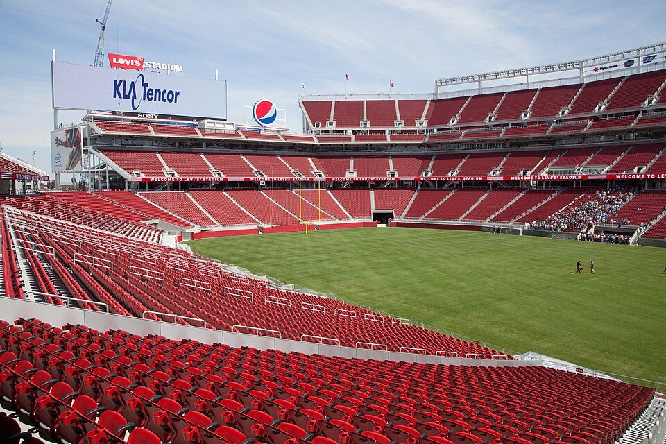
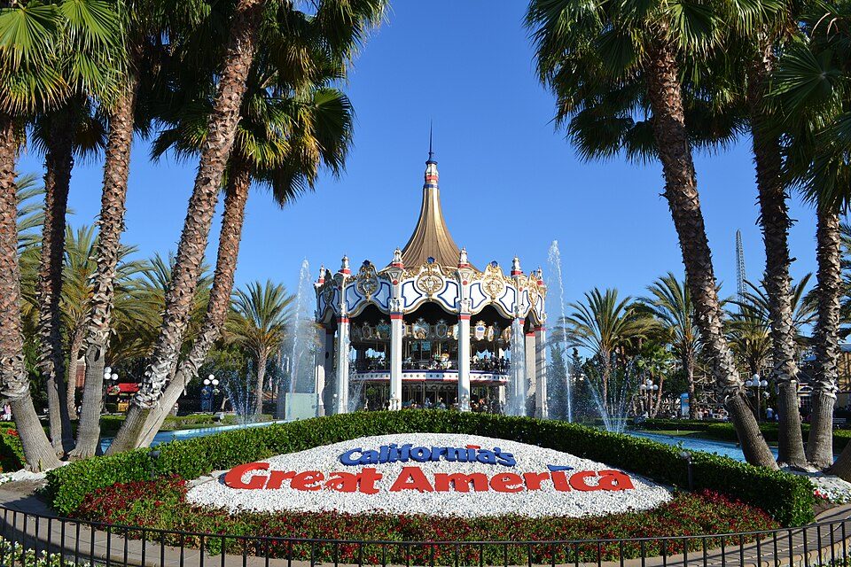
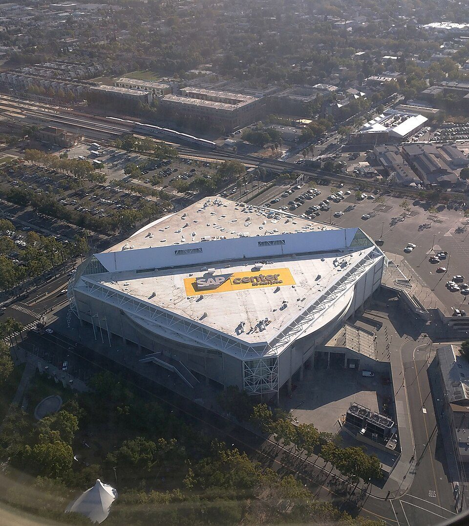
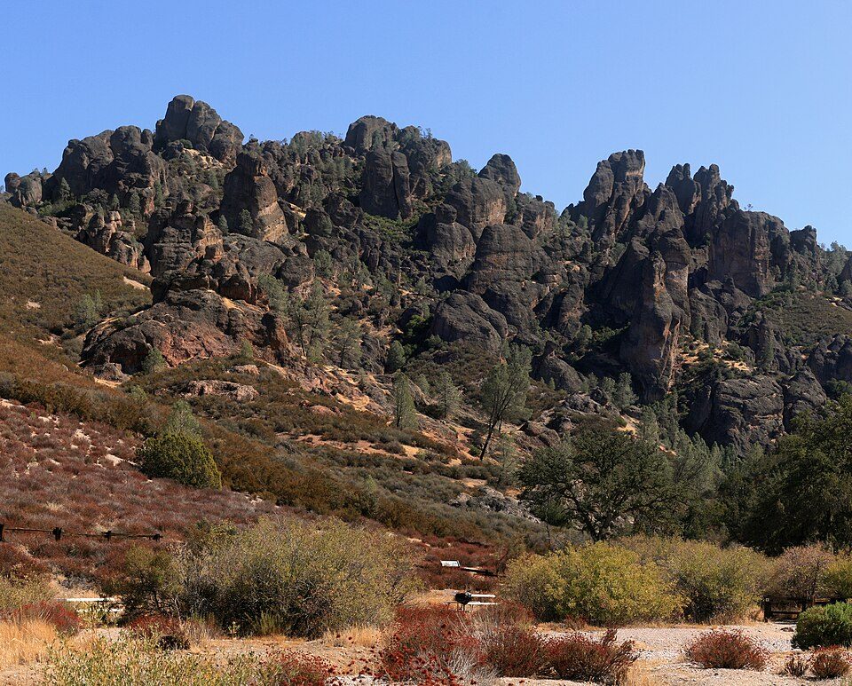
Levi's Stadium and 60 more within 40 miles

Museums, parks, gardens and other places to visit around Pajaro. Close and well known come first.

All 96 attractions →
Sources: National Park Service · ski areas © OpenSkiMap / OpenStreetMap contributors · Wikidata · Wikipedia readership · photos via Wikimedia Commons
Photo credits

Levi's Stadium: Matthew Roth, CC BY-SA 2.0 · California's Great America: Oleg Alexandrov, CC BY-SA 4.0 · Monterey Bay Aquarium: Meij.kobayashi, Public domain · Monterey Museum of Art: Sgerbic, CC BY-SA 4.0 · SAP Center: Dicklyon, CC BY-SA 4.0 · Pinnacles National Park: Brocken Inaglory, CC BY-SA 3.0

Getting set up

Moving to Pajaro: who provides what

Pajaro is unincorporated, so Monterey County and regional agencies provide most services.

PowerPG&E37.5¢/kWh · EIA 2025HIFLD · EIA
WaterPsmcsd - Pajaro water systemNo health-based violations in 5 years · EPAEPA
Internet6 providers90% of addresses get 100/20 MbpsFCC
Trash & county servicesMonterey CountyMonterey County provides services here
SchoolsPajaro Valley Joint Unified School DistrictWhich school depends on your addressNCES
Register to voteOnlineIn California you can register online until 15 days before Election Day, in person up to and including Election Day, or by mail (postmarked 15 days before).vote.gov
Who runs elections hereMonterey County ElectionsMonterey County; contacts on the Handbook page.FVAP, Jul 2025
ZIP code9507695076 100%Census 2020

EPA SDWIS (Oct 9, 2026) · HIFLD + EIA-861 2025 · Census 2020 ZCTAs · NCES 2024–25 · registration: vote.gov, updated Nov 18, 2024.

The data

Ordered by what stands out in Pajaro.

Pajaro has a longer frost-free season than nearly all U.S. towns and is mostly renters.

Natural hazardsHazard risk grade D−

Top of a very high hazard risk in Pajaro: earthquakes

FEMA expects more storm and flood damage in Pajaro than in 98% of U.S. communities. Federal aid has come to Pajaro households in 2 declared disasters; the latest was in 2023. Expected losses in Pajaro break down as 58% from earthquakes and 24% from inland flooding.

98risk score of 100
FEMA risk score
98Very high riskLowerHigher
EarthquakesInland floodingDrought
2
federal disasters paid out here

FEMA disaster declarations and aid · FEMA National Risk Index · OpenFEMA

SchoolsC

Pajaro’s schools rank behind 67% of California districts

Its one school is below. The Pajaro Valley Unified school district runs its public schools. 398 students attend the town’s public school.

33%of CA districts it outscoresCSchool Grade
SchoolLevelStudentsLetter
Pajaro MiddleLargest public middle schoolGrades 6–8Grades 6–8398–

NCES · EDFacts · graded within CA on state tests and graduation

HealthD

Pajaro stands out in California and nationally, with more of its adults 18 to 64 who have no health insurance

In Pajaro, 17% of adults binge drink. The town beats the California average on 2 of 32 CDC measures and trails it on 19. Two figures for adults locally: 37% get no exercise outside work, 41% worry about having enough food.

14%healthier than U.S. townsDHealth Grade
PajaroCalifornia townsU.S. towns
Fair or poor health (CDC PLACES)37%22%19%
Get no exercise (CDC PLACES)37%24%25%
Food insecurity (CDC PLACES)41%16%14%
Yearly checkup (CDC PLACES)66%72%79%
32 measures vs. California
2 better11 too close to call19 worse
What stands outPajaroCA
Fewer adults who have had cancer3.2%6.4%
Fewer adults with arthritis16.5%20.8%
More uninsured adults29%10.6%
Watsonville Community Hospital
3.4 mi away · emergency room
None
primary care, dental or mental-health shortage
10th
percentile among CA towns

CDC PLACES 2025 · modeled estimates for adults · CMS · HRSA

OutdoorsB

Pajaro has set aside 1.2% of its land for conservation

Pajaro’s trail network density comes in at 1.1 miles per square mile. In 2 parks and preserves, walkers have 1.0 miles of trail.

#346for trails in CA
PajaroCalifornia townsU.S. towns
Miles of trail per square mile1.1 miles per square mile1.00.4
Conserved land1.2%4.3%4.3%
1.2%
conserved · 7 of 591 acres
1.0 mi
of trails · 1.1 per sq mi
Biggest places to walkTrailsAcres
1. Pajaro Park—5
2. Pajaro River—2

Trails & parks © OpenStreetMap contributors · Conserved land: USGS PAD-US

Climate

The climate in Pajaro brings mild winters and pleasant summers

The Watsonville Wtr Wks weather station records that the frost-free season runs about 324 days, longer than in 96% of U.S. towns. July afternoons average 72.8°, cooler than in 99% of U.S. towns; January nights average 40.6°.

Its January low stands at 41°F. Snow is a rarity.

76°summer high

Typical low → high °F

Winter41–62°
Spring46–68°
Summer53–73°
Fall48–72°
Dec 13
typical first frost
Jan 28
typical last frost
+1.9°
vs. the 20th-century average
76°
typical summer high

NOAA U.S. Climate Normals, 1991–2020

Work & commuteJobs & income grade C

Most of Pajaro’s workers leave town for work

The share of residents in Pajaro who live below the poverty line: 19%. Jobs in Pajaro grew by 172 from 2013 to 2023, reaching 863. In Pajaro, the average trip to work is 29 minutes. The median commute is under 18 miles.

2%work in town
PajaroCalifornia townsU.S. towns
Below the poverty line19%10%9.6%
Working residents who work in town2.2%6.6%8%
Average trip to work29 minutes28 minutes25 minutes
Median household income$85,000$95,000$80,000

Where working residents work

In Pajaro2%
Watsonville16%
San Jose8%
Salinas8%
Santa Cruz7%
18 mi
median commute distance
863
jobs based in Pajaro
Balanced
jobs vs. working residents
B−
Walkability grade: more walkable than 54% of U.S. towns

Census LEHD 2023 · ACS

Keep exploring

Everything we know about Pajaro

17pages on Pajaro
After high school

Colleges nearby

3 within 15 miles of the center of Pajaro

About Pajaro

Place in California, United States

Pajaro (Spanish Pájaro 'bird') is an unincorporated community in Monterey County, California, United States. It is located on the south bank of the Pajaro River 5 miles (8 km) northeast of its mouth, at an elevation of 26 feet (7.9 m). For statistical purposes, the United States Census Bureau has defined that community as a census-designated place (CDP). The population was 2,882 at the 2020 census, down from 3,070 in 2010. The school district is in Santa Cruz County.

From Wikipedia, licensed CC BY-SA 4.0 · facts via Wikidata (CC0)

Area
0.9 sq mi
Elevation
26 ft

Pajaro’s neighbors

One town shares a border with Pajaro.

Explore the map →
How the neighbors grade
TownCA rankOverallCostSafetySchoolsHealth
Pajaro#820D−D—CD
Watsonville#720D−DCCC

Pajaro reports no FBI crime data of its own. Compare Pajaro with a neighbor →

Questions about Pajaro

Short answers, built from the data on this page.

Is Pajaro, CA a good place to live?

Pajaro grades D− overall, in the bottom 2% of U.S. towns and #820 of 841 in California. It grades D for health and C for schools. Hazard risk is its weak spot, with a D−.

Is Pajaro, CA expensive?

Yes. Cost of living, which also weighs rents, property taxes and how many households pay 30% or more of their income for housing, grades D.