
3 mar morongo, 2006
Morongo Valley’s story
79 years in pictures
Census counts: 1,137 in 1980, 3,514 in 2020. The archive holds 9 old photos and papers going back to 2006 and 3 maps from 1955 on.
- 1947Morongo Valley is settled
Each edition grades its towns against each other only.

A town of 4,209, settled in 1947.
Morongo Valley grades D− overall, 814th among California's 841 graded towns, mostly because of incomes and health. The median household income is $52K, and 25% of residents live below the poverty line. CDC estimates put its residents' health behind 84% of the country. Morongo Valley’s July high is 99°F, against 89°F in California’s towns and 85°F across U.S. towns. Only 87 of California’s 1,058 towns score higher on cost of living. The biggest place to walk is Sand to Snow National Monument, 7,370 acres with 7.2 miles of trail.
Where Morongo Valley’s working residents go each day. Line width shows the share.
Census LEHD 2023
Each subject compared with towns across the country (schools within California), ordered by how far Morongo Valley is from typical.
How TownRatings grades towns →
Census counts: 1,137 in 1980, 3,514 in 2020. The archive holds 9 old photos and papers going back to 2006 and 3 maps from 1955 on.
Museums, parks, gardens and other places to visit around Morongo Valley. Close and well known come first.
 Big draw6 mi National ParkJoshua Tree National Park2.9M visitors a year
 15 mi MountainSan Gorgonio Mountain
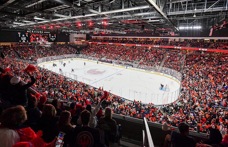 24 mi Stadium & arenaAcrisure Arena
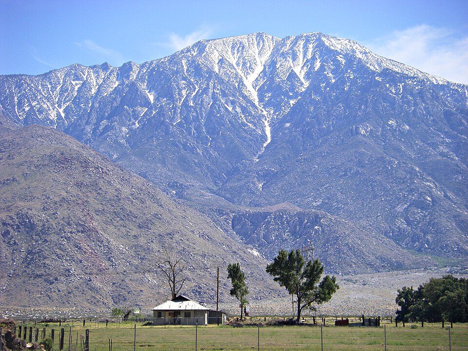 19 mi MountainSan Jacinto Peak
 26 mi LakeBig Bear Lake19 mi LandmarkForest Lawn Cemetery
Joshua Tree National Park: Sergiy Galyonkin, CC BY-SA 4.0 · San Gorgonio Mountain: Doc Searls, CC BY-SA 2.0 · Acrisure Arena: TheAHL, CC BY 2.0 · San Jacinto Peak: Wattewyl, CC BY 3.0 · Big Bear Lake: H.G. Judd, CC BY-SA 3.0
Morongo Valley is unincorporated, so San Bernardino County and regional agencies provide most services.
EPA SDWIS (Oct 9, 2026) · HIFLD + EIA-861 2025 · Census 2020 ZCTAs · NCES 2024–25 · registration: vote.gov, updated Nov 18, 2024.
Ordered by what stands out in Morongo Valley.
Morongo Valley has a longer frost-free season than nearly all U.S. towns and is healthier than towns with similar incomes, but it has poverty well above the California rate.
65 miles of trail in 5 parks and preserves. The trail density in Morongo Valley is 2.6 miles per square mile.
| Morongo Valley | California towns | U.S. towns | |
|---|---|---|---|
| Miles of trail per square mile | 2.6 miles per square mile | 1.0 | 0.4 |
| Conserved land | 2.3% | 4.3% | 4.3% |
| Biggest places to walk | Trails | Acres |
|---|---|---|
| 1. Sand to Snow National Monument | 7.2 mi | 7,370 |
| 2. Big Morongo Canyon Preserve | 3.4 mi | 170 |
| 3. San Gorgonio Wilderness | 1.5 mi | 4,098 |
Trails & parks © OpenStreetMap contributors · Conserved land: USGS PAD-US
Its public schools are run by the Morongo Unified school district. Its one school is below.
| School | Level | Students | Letter |
|---|---|---|---|
| Morongo Valley ElementaryLargest public elementary schoolGrades K–6 | Grades K–6 | 170 | – |
NCES · EDFacts · graded within CA on state tests and graduation
The typical value, about $324K, is 9% below its July 2022 peak. The median property tax bill is $1,874, against $5,124 across California, another input to its cost-of-living grade.
The typical Morongo Valley home is worth about $324,000, up 1.4% in a year, 57% below the California typical home. Morongo Valley’s median rent is $1,354 a month.
| Morongo Valley | California towns | U.S. towns | |
|---|---|---|---|
| Median rent | $1,354 a month | $1,898 a month | $1,185 a month |
| Households that own their home | 71% | 64% | 73% |
Census ACS, 2020–24 · Zillow Home Value Index · Redfin Data Center
Expected storm and flood damage is higher than in 97% of U.S. communities. One flood insurance claim has been paid in Morongo Valley since 1980.
FEMA flood insurance claims · FEMA National Risk Index · OpenFEMA
Against the 6,445 U.S. towns with household incomes like Morongo Valley’s, it is less healthy than 64%, so its C− isn’t only a matter of income.
42% of Morongo Valley adults have high blood pressure. Morongo Valley beats the California average on 1 of 32 CDC measures and trails it on 19. 15% of Morongo Valley adults have diabetes.
| Morongo Valley | California towns | U.S. towns | |
|---|---|---|---|
| Frequent physical distress (CDC PLACES) | 18% | 14% | 14% |
| High blood pressure (CDC PLACES) | 42% | 31% | 35% |
| Fair or poor health (CDC PLACES) | 29% | 22% | 19% |
| Diabetes (CDC PLACES) | 15% | 12% | 12% |
| What stands out | Morongo Valley | CA |
|---|---|---|
| More adults treating high blood pressure | 75.4% | 71.3% |
| More adults with COPD | 10.3% | 5.1% |
CDC PLACES 2025 · modeled estimates for adults · CMS · HRSA
Morongo Valley has 306 jobs for its 1,815 working residents: even if every job went to a resident, most would still commute out. The average commute takes 37.2 minutes, against 28.7 across California.
Most working residents leave Morongo Valley for work: only 4% work in town. Since 2013, Morongo Valley has added 65 jobs, to 306 in 2023. The top destinations are Palm Springs (8%), Los Angeles (5%) and Palm Desert (4%).
| Morongo Valley | California towns | U.S. towns | |
|---|---|---|---|
| Average trip to work | 37 minutes | 28 minutes | 25 minutes |
| Median household income | $52,000 | $95,000 | $80,000 |
| Working residents who work in town | 4.2% | 6.6% | 8% |
Census LEHD 2023 · ACS
The Yucca Valley weather station, 11 miles away, records that the frost-free season runs about 255 days, longer than in 95% of U.S. towns. July afternoons average 98.5°, hotter than in 99% of U.S. towns; January nights average 39.8°.
Morongo Valley has mild winters and hot summers, with very little rain. About 2 inches of snow falls in a winter.
NOAA U.S. Climate Normals, 1991–2020
None within 15 miles of Morongo Valley; the nearest are
About 8 of every 100 Morongo Valley residents are enrolled in college, about the same as California.
Census-designated place in California, United States
Morongo Valley is a census-designated place (CDP) on State Route 62 in San Bernardino County, California, United States. The population was 3,514 at the 2020 census, down from 3,552 at the 2010 census. The town is bordered by Yucca Valley, California.
From Wikipedia, licensed CC BY-SA 4.0 · facts via Wikidata (CC0)
Short answers, built from the data on this page.
Morongo Valley grades D− overall, in the bottom 2% of U.S. towns and #814 of 841 in California. It grades C− for health and C for schools. Hazard risk is its weak spot, with a D−.
That is 3.6 years of the area's median household income ($89,662 across the Riverside-San Bernardino-Ontario, CA metro area). Cost of living, which also weighs rents, property taxes and how many households pay 30% or more of their income for housing, grades C+.
2 notable people were born here, including Gene Parsons and Leah Turner.


