1 place in town is on the National Register, among them the Modjeska House, a National Historic Landmark. Below: maps from 1902 on and old-book passages.
Modjeska is named after the 19th-century Polish stage actress, mother of the famous bridge engineer Ralph Modjeski, Helena Modjeska, who settled in the canyon in the late 19th century. Her home from 1888 to 1906, "Arden", is a National Historic Landmark. The house and gardens are private; therefore, reservations are required for a tour of the property. The house is typically open only once or twice a month.
Mary Teegarden Clark, an early resident of nearby Orange, described a late 1800s community picnic in Modjeska in her memoirs, Pioneer Ranch Life in Orange.
Passages that mention Modjeska, cut from the printed page as they were published.
History of Orange County, California1921 · page 592Read the page →
Read the text
The last home of Mme. Modjeska was on Bay, now called Modjeska Island, in East Newport, to which she had removed a few months prior to her death, on April 8, 1909 — a cosy, worthy seaside residence which she bequeathed to her grandson, Felix Bozenta Modjeska, who now occupies it with his family, and maintains it as nearly as possible as it was when she so gracefully moved about on the verandas and enjoyed the refreshing breeze.
Text read by machine from the scan; it may contain errors.
Scans and text from the Internet Archive. Books published in 1930 or earlier, which are in the public domain.
Timeline
Modjeska, 1888 to 1990
Woven from the archive, old maps, post office records, the National Register and the people born here.
Founding dates: Wikidata, Wikipedia, the U.S. post office records of Blevins & Helbock (CC0) and the Census. Homes by year built: Census ACS 2020–24. National Register of Historic Places: National Park Service (list of May 22, 2026). Old photos, postcards and papers: Wikimedia Commons, the Library of Congress and other public archives, credited on each item’s page. Maps: U.S. Geological Survey historical topographic maps (via Esri) and Sanborn fire-insurance maps (Library of Congress). History text and census tables: Wikipedia (CC BY-SA 4.0). Places that used to be: USGS Geographic Names Information System (2021). How TownRatings grades history →
From Wikimedia Commons (4), the National Register of Historic Places (1), Wikipedia, U.S. Geological Survey historical maps, the USGS Geographic Names Information System and old county and town histories (Internet Archive). Archive images are copied here with their credits and licenses, shown on each photo’s page. Refreshed monthly.

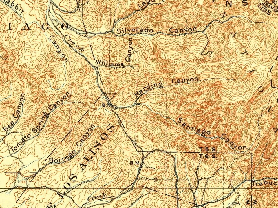
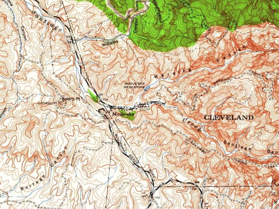
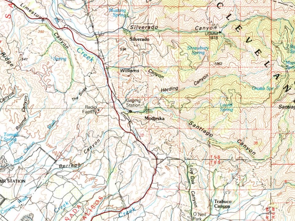
 ★ Landmark

 2022
 2011
 2011
 2011