Mission Canyon in pictures
Census counts: 2,610 in 2000, 2,540 in 2020. The archive holds 6 old photos and papers going back to 1898 and 6 maps from 1944 on.
Explore the history →Each edition grades its towns against each other only.

A town of 2,357.
Mission Canyon’s best subject grades are an A+ for health and an A for incomes and the outdoors; its weakest is a D− for hazard risk. 76% of adults 25 and older hold a bachelor’s degree or more in Mission Canyon, where California’s towns sit at 29% and U.S. towns at 29%. On health, just 40 of California’s 1,064 towns do better. The typical home is worth about $2.0 million, 20.4 years of the Santa Maria metro’s $98K median household income. Mission Canyon’s trail density is 1.4 miles per square mile, above both California’s towns (1.0) and U.S. towns (0.4). The biggest park or preserve is Rocky Nook Park, at 21 acres. Mission Canyon has fewer than 2,500 residents, so it gets subject grades but no overall grade.
Where Mission Canyon beats most towns, and one thing worth knowing.
| Widest gap | Mission Canyon | CA |
|---|---|---|
| Fewer adults facing food insecurity | 5.5% | 17.9% |
Where Mission Canyon’s working residents go each day. Line width shows the share.
Census LEHD 2023
Each subject compared with towns across the country (schools within California), ordered by how far Mission Canyon is from typical.
How TownRatings grades towns →
Census counts: 2,610 in 2000, 2,540 in 2020. The archive holds 6 old photos and papers going back to 1898 and 6 maps from 1944 on.
Explore the history →Museums, parks, gardens and other places to visit around Mission Canyon. Close and well known come first.
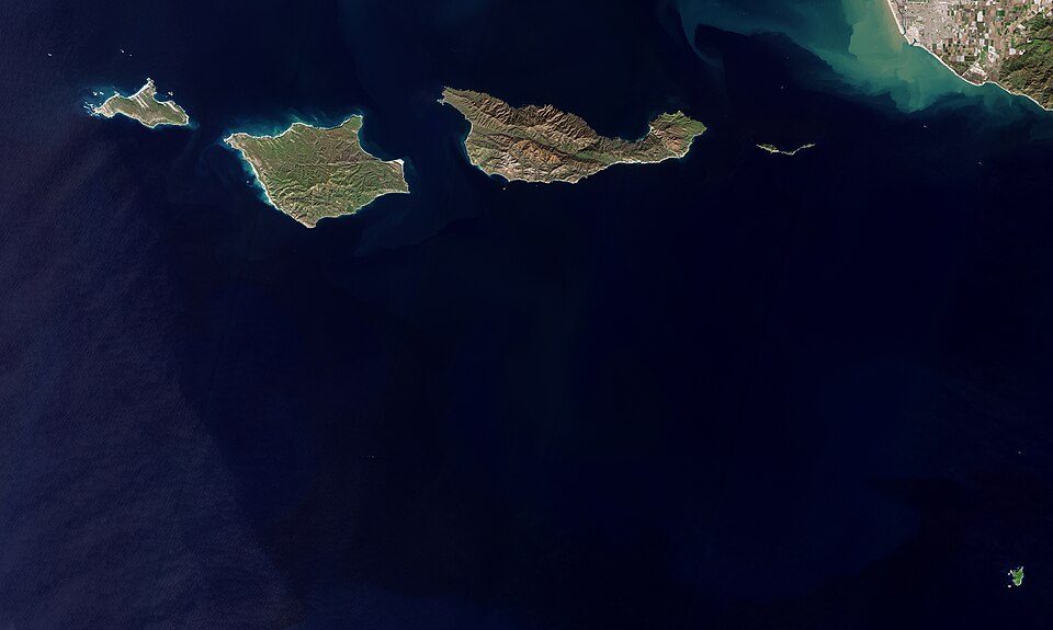
26 mi National ParkChannel Islands National Park227K visitors a year
15 mi National forestLos Padres National Forest
4 mi GardenLotusland
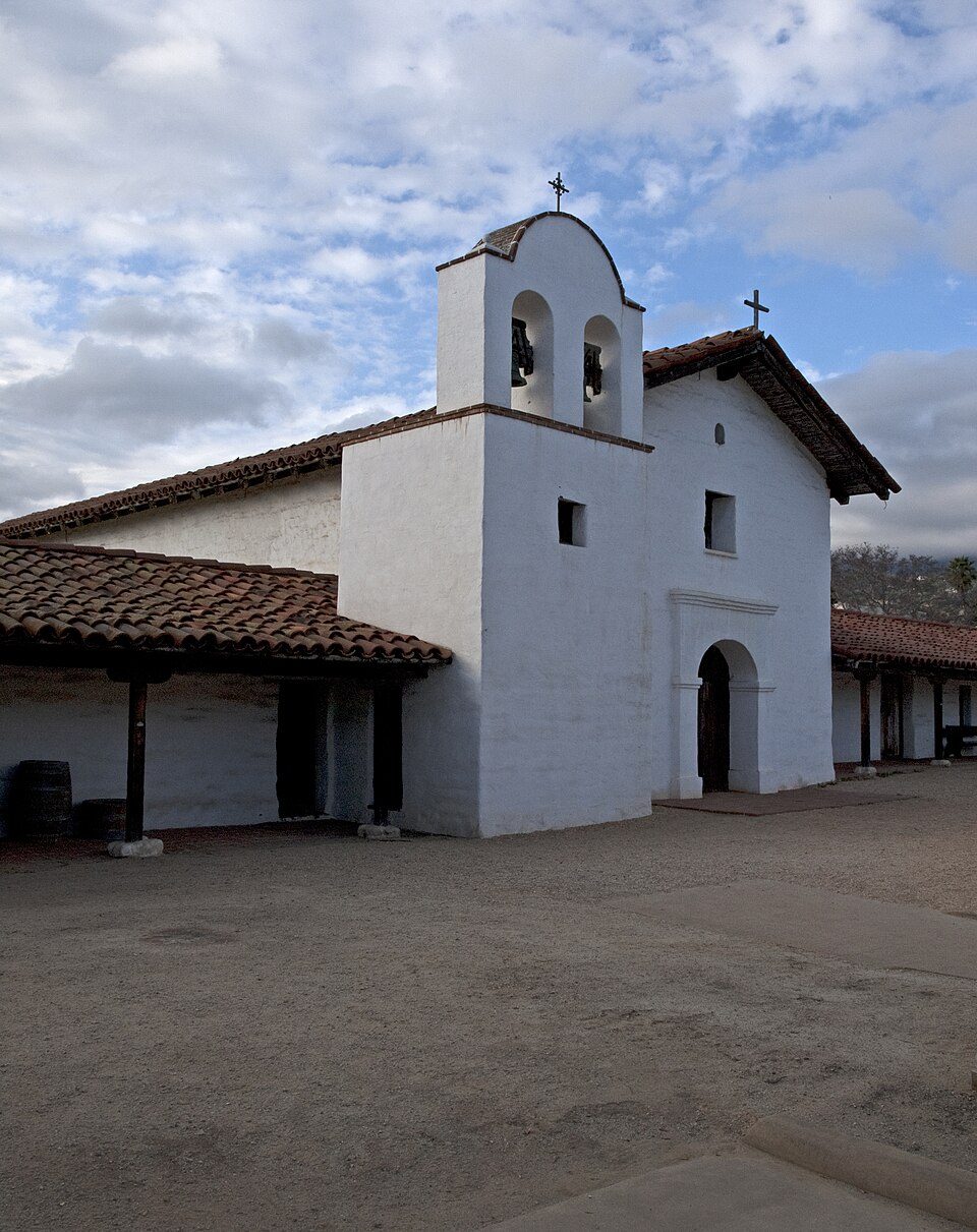
3 mi LandmarkPresidio of Santa Barbara
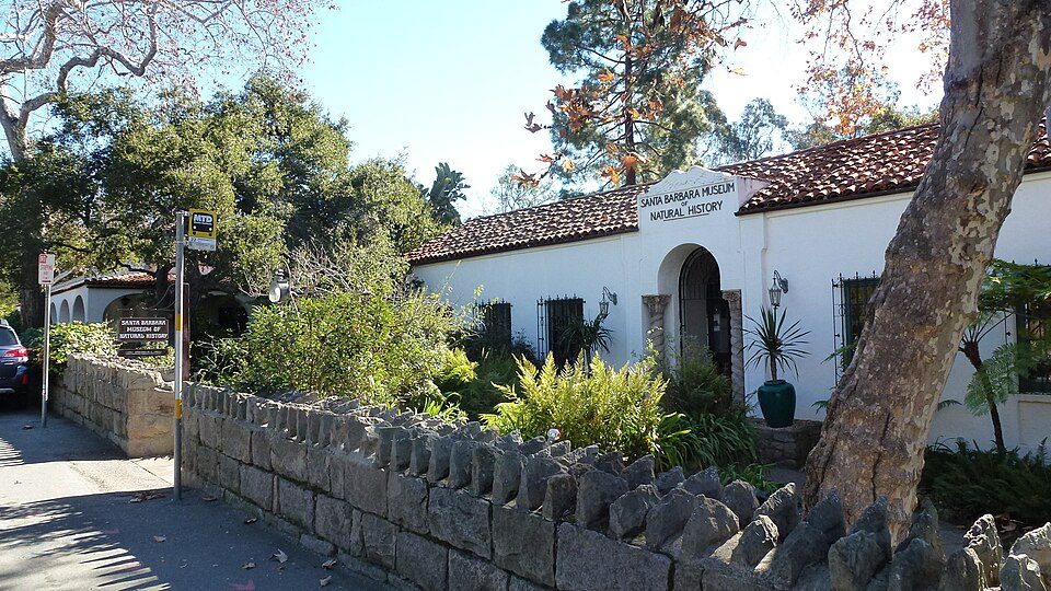
in town MuseumSanta Barbara Museum of Natural History
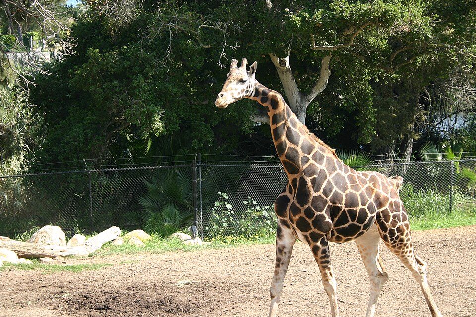
4 mi Zoo & aquariumSanta Barbara ZooChannel Islands National Park: Copernicus Sentinel-2, ESA, CC BY-SA 3.0 igo · Los Padres National Forest: Taken by Antandrus, Public domain · Lotusland: brewbooks from near Seattle, USA, CC BY-SA 2.0 · Presidio of Santa Barbara: Ymblanter, CC BY-SA 3.0 · Santa Barbara Museum of Natural History: Jllm06, CC BY-SA 3.0 · Santa Barbara Zoo: Dakart at en.wikipedia, Public domain
Mission Canyon is unincorporated, so Santa Barbara County and regional agencies provide most services.
EPA SDWIS (Oct 9, 2026) · HIFLD + EIA-861 2025 · Census 2020 ZCTAs · NCES 2024–25 · registration: vote.gov, updated Nov 18, 2024.
Ordered by what stands out in Mission Canyon.
14% of adults get no exercise outside work in Mission Canyon.
| Mission Canyon | California towns | U.S. towns | |
|---|---|---|---|
| Sleep under 7 hours (CDC PLACES) | 27% | 35% | 36% |
| Frequent mental distress (CDC PLACES) | 12% | 17% | 17% |
| Obesity (CDC PLACES) | 22% | 29% | 35% |
| Get no exercise (CDC PLACES) | 14% | 24% | 25% |
| What stands out | Mission Canyon | CA |
|---|---|---|
| Fewer adults facing food insecurity | 5.5% | 17.9% |
| Fewer older adults who have lost all their teeth | 3.3% | 10.6% |
| More adults who have had cancer | 11.9% | 6.4% |
CDC PLACES 2025 · modeled estimates for adults · CMS · HRSA
Expected storm and flood damage is higher than in 99% of U.S. communities.
FEMA National Risk Index · OpenFEMA
The average trip to work in Mission Canyon is 14 minutes. Most working residents leave Mission Canyon for work: only 2% work in town. The median household income in Mission Canyon is $208,000.
| Mission Canyon | California towns | U.S. towns | |
|---|---|---|---|
| Median household income | $208,000 | $95,000 | $80,000 |
| Average trip to work | 14 minutes | 28 minutes | 25 minutes |
| Below the poverty line | 5.6% | 10% | 9.6% |
| Working residents who work in town | 1.7% | 6.6% | 8% |
Census LEHD 2023 · ACS
Mission Canyon has warm winters and cool summers, with very little rain. Mission Canyon’s July high is 75°F.
NOAA U.S. Climate Normals, 1991–2020
| Biggest places to walk | Trails | Acres |
|---|---|---|
| 1. Rocky Nook Park | 0.5 mi | 21 |
Trails & parks © OpenStreetMap contributors · Conserved land: USGS PAD-US
Zillow Home Value Index · Redfin Data Center
7 within 15 miles of the center of Mission Canyon
About 8 of every 100 Mission Canyon residents are enrolled in college, about the same as California.
Place in California, United States
Mission Canyon is a census-designated place and an unincorporated suburb of Santa Barbara, California, in Santa Barbara County, United States. The population was 2,540 at the 2020 census, up from 2,381 at the 2010 census. Mission Canyon is directly north — on the mountain side — of the city of Santa Barbara, and derives its name from the Mission Santa Barbara which is built between Mission Canyon and the center of the city. The canyon itself is one of the most dramatic in the Santa Ynez Mountains with the locally highest peak, La Cumbre Peak 3,988 ft (1,216 m) at the top of the watershed, flanked by Cathedral Peak 3,336 ft (1,017 m) and Arlington Peak 3,258 ft (993 m) to the west, Pine Look…
From Wikipedia, licensed CC BY-SA 4.0 · facts via Wikidata (CC0)
One town shares a border with Mission Canyon.
| Town | CA rank | Overall | Cost | Safety | Schools | Health |
|---|---|---|---|---|---|---|
| Mission Canyon | — | — | D− | — | B+ | A+ |
| Santa Barbara | #443 | C | D− | D | B+ | A− |
Mission Canyon has fewer than 2,500 residents, so it gets subject grades but no overall grade. Mission Canyon reports no FBI crime data of its own. Compare Mission Canyon with a neighbor →
Short answers, built from the data on this page.
Yes. The typical home is worth about $2,000,000, 163% above the California typical home. Cost of living, which also weighs rents, property taxes and how many households pay 30% or more of their income for housing, grades D−.