
La Honda Creek Headwaters 1856, 1856
La Honda’s story
153 years in pictures
The archive holds 1 old photo or paper going back to 1856 and 4 maps from 1940 on.
- 1873La Honda is settled
Each edition grades its towns against each other only.
The town was settled in 1873 and has 1,269 residents today.
The best of La Honda’s subject grades is an A for the outdoors; the weakest is a D− for hazard risk. 77% of adults 25 and older hold a bachelor’s degree or more in La Honda, above both the California town median (29%) and the median of U.S. towns (29%). Only 39 of California’s 1,058 towns score higher on cost of living. 23% of the land in La Honda is conserved, where California’s towns sit at 4.3% and U.S. towns at 4.3%. La Honda Creek Open Space Preserve, at 184 acres with 1.2 miles of trail, is the biggest park or preserve. La Honda has fewer than 2,500 residents, so it gets subject grades but no overall grade.
Where La Honda beats most towns, and one thing worth knowing.
In a town this size, neighbors are the best guide. Ask them anything.
Each subject compared with towns across the country (schools within California), ordered by how far La Honda is from typical.
How TownRatings grades towns →
The archive holds 1 old photo or paper going back to 1856 and 4 maps from 1940 on.
Museums, parks, gardens and other places to visit around La Honda. Close and well known come first.
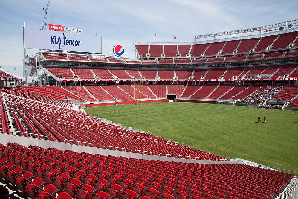 Big draw17 mi Stadium & arenaLevi's Stadium
 Big draw36 mi MuseumAlcatraz Federal Penitentiary
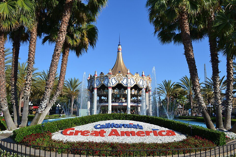 Big draw17 mi Theme parkCalifornia's Great America
 Big draw32 mi MuseumUSS Hornet
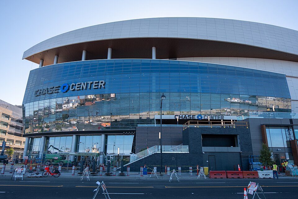 Big draw32 mi Stadium & arenaChase Center
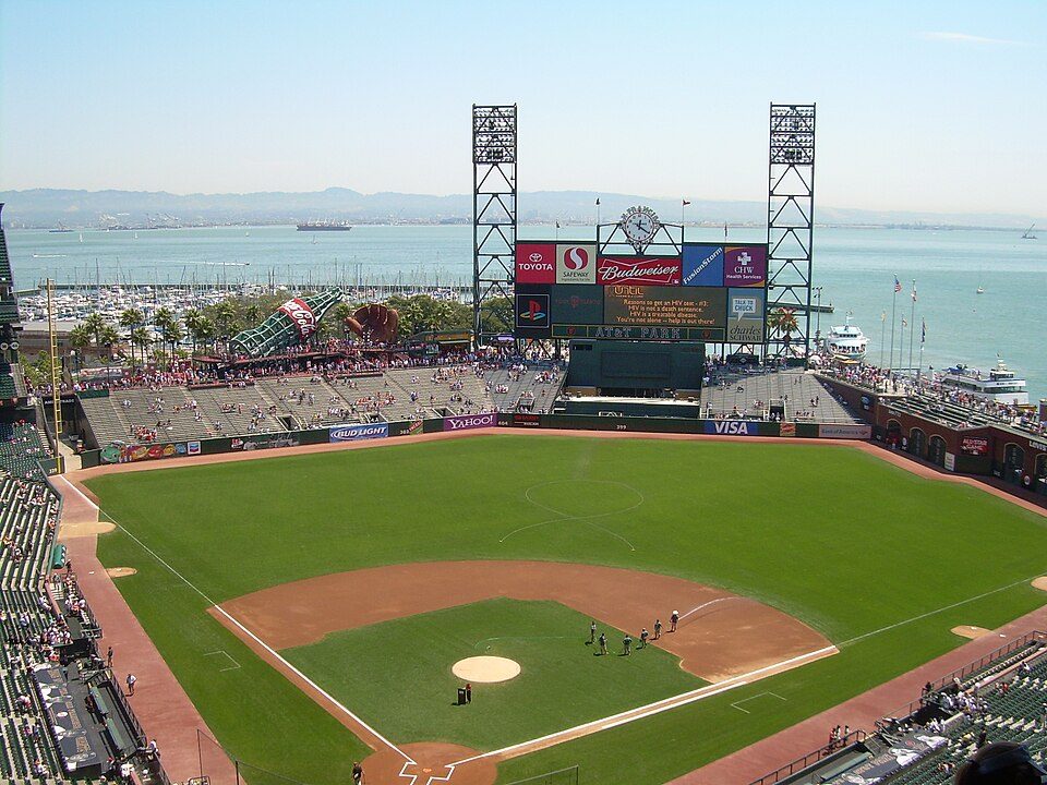 Big draw33 mi Stadium & arenaOracle Park
Levi's Stadium: Matthew Roth, CC BY-SA 2.0 · Alcatraz Federal Penitentiary: druchoy, CC BY-SA 2.0 · California's Great America: Oleg Alexandrov, CC BY-SA 4.0 · USS Hornet: kitmasterbloke, CC BY 2.0 · Chase Center: Gregory Varnum, CC BY-SA 4.0 · Oracle Park: User Coasttocoast on en.wikipedia, CC BY-SA 3.0
La Honda is unincorporated, so San Mateo County and regional agencies provide most services.
EPA SDWIS (Oct 9, 2026) · HIFLD + EIA-861 2025 · Census 2020 ZCTAs · NCES 2024–25 · registration: vote.gov, updated Nov 18, 2024.
Ordered by what stands out in La Honda.
Households in La Honda have drawn federal disaster aid in 2 declared disasters, most recently in 2022. 31% of the town’s expected losses from natural hazards come from earthquakes, followed by inland flooding at 28%. Expected storm and flood damage is higher than in 100% of U.S. communities.
FEMA disaster declarations and aid · FEMA National Risk Index · OpenFEMA
Its one school is below. Enrollment at La Honda’s public school: 65 students.
| School | Level | Students | Letter |
|---|---|---|---|
| La Honda ElementaryLargest public elementary schoolGrades K–5 | Grades K–5 | 65 | – |
NCES · EDFacts · graded within CA on state tests and graduation
Among adults in La Honda, 72% had a checkup this year. Against the California average, La Honda comes out ahead on 12 CDC measures out of 32, and behind on 4. 28% of adults locally have obesity; 32% feel lonely.
| La Honda | California towns | U.S. towns | |
|---|---|---|---|
| Sleep under 7 hours (CDC PLACES) | 27% | 35% | 36% |
| Obesity (CDC PLACES) | 28% | 29% | 35% |
| Feel lonely (CDC PLACES) | 32% | 36% | 33% |
| Frequent mental distress (CDC PLACES) | 15% | 17% | 17% |
| What stands out | La Honda | CA |
|---|---|---|
| Fewer uninsured adults | 6.2% | 10.6% |
| Fewer adults facing housing insecurity | 9.4% | 14.9% |
| More adults who have had cancer | 9.6% | 6.4% |
CDC PLACES 2025 · modeled estimates for adults · CMS · HRSA
Typical home values rose 3% in the year to September 2026. In La Honda, 70% of households own their home.
Census ACS, 2020–24 · Zillow Home Value Index · Redfin Data Center
The top destinations are San Francisco (14%), San Jose (6%) and Redwood City (6%). For residents in La Honda, the share who live below the poverty line is 5%. Between 2013 and 2023, jobs in La Honda dropped by 84, to 167. Also worth knowing: the town’s average trip to work comes in at 40 minutes.
| La Honda | California towns | U.S. towns | |
|---|---|---|---|
| Average trip to work | 40 minutes | 28 minutes | 25 minutes |
| Median household income | $250,000 | $95,000 | $80,000 |
| Below the poverty line | 5% | 10% | 9.6% |
| Working residents who work in town | 0.9% | 6.6% | 8% |
Census LEHD 2023 · ACS
The concentration of trails for La Honda comes to 1.1 miles per square mile. Trails run 4.5 miles in 1 park or preserve.
| Biggest places to walk | Trails | Acres |
|---|---|---|
| 1. La Honda Creek Open Space Preserve | 1.2 mi | 184 |
Trails & parks © OpenStreetMap contributors · Conserved land: USGS PAD-US
La Honda’s typical July afternoon high is 79°F.
NOAA U.S. Climate Normals, 1991–2020
10 within 15 miles of the center of La Honda
About 2 of every 100 La Honda residents are enrolled in college, against 8 across California.
Where La Honda’s working residents go each day. Line width shows the share.
Census LEHD 2023
Census-designated place in California, United States
La Honda (Spanish for "The Sling") is a census-designated place (CDP) in southern San Mateo County, California, United States. The population was 979 at the 2020 census. It is located in the Santa Cruz Mountains between the Santa Clara Valley and California's Pacific coast. La Honda is near the La Honda Creek Open Space Preserve and State Route 84 on the ocean side of the Coastal Range. The ZIP Code for La Honda is 94020 and the area code is 650. Land-line numbers in the La Honda telephone exchange follow the pattern 747-xxxx while wired telephones in and around the Middleton Tract (along Portola State Park Road) work out of the Los Altos exchange with 94x-xxxx numbers. Per the U.S. Geologi…
From Wikipedia, licensed CC BY-SA 4.0 · facts via Wikidata (CC0)
Short answers, built from the data on this page.
That is 7.5 years of the area's median household income ($136,027 across the San Francisco-Oakland-Fremont, CA metro area). Cost of living, which also weighs rents, property taxes and how many households pay 30% or more of their income for housing, grades B.


