Half Moon Bay’s post office opened in 1861, and 4 of its places are on the National Register
More historic than 47% of U.S. towns · #167 of 847 in California. What drives it
Most of Half Moon Bay was built recently: 5% of its homes predate 1940 and the median home dates from 1979. Below: maps from 1905 on and the census since 1960.
Founding year: the first Half Moon Bay post office (Blevins & Helbock, CC0).The full story ↓
History grade
What drives Half Moon Bay’s History grade
On its age, its old homes and the National Register, Half Moon Bay is more historic than 47% of U.S. towns, #167 of 847 in California. Its National Register listings hold the grade up; its share of homes from before 1940 pulls it down.
B−
HistoryA character grade: shown, never part of Half Moon Bay’s overall grade.
Few California towns list much on the Register (a typical California town has 0.0 per 10,000 residents, the U.S. 2.4), so Half Moon Bay’s 3.5 sits above most of its state (85% of California towns have fewer) while its 4 listings outnumber those of 68% of U.S. towns.
How sure. Graded on any two of the three inputs instead, the letter would range from C to B. The pre-1940 share (±2.4 points) is firm at this size. The founding year is the first post office, not a stated founding date.
Founding year: the first post office (other dates in Quick answers). Homes: Census ACS 2020–24. National Register: National Park Service, May 2026 list; each listing counted once (boundary changes and added documentation belong to their listing), and a historic district counts its contributing buildings. How TownRatings grades history →
What stands out about Half Moon Bay’s past
Read from the archive, the National Register and the record. The page puts what stands out first.
Half Moon Bay began as a rural agricultural area, primarily used by Mission San Francisco de Asís (established in 1776) for grazing cattle, horses, and oxen. After the Mission's secularization, Tiburcio Vásquez received the Rancho Corral de Tierra Mexican land grant in 1839 and Candelario Miramontes was granted Rancho Miramontes (later known as Rancho San Benito) in 1841.
Passages that mention Half Moon Bay, cut from the printed page as they were published.
History of San Mateo County, California, including its geography, topography, geology, climatography, and description, together with an historical sketch of California1883 · page 239Read the page →
Read the text
Half Moon Bay, or Spanishtown. — In one of the finest agricultural districts of San Mateo county, or of the State of California even, located upon what was formerly one of the largest and prettiest streams of the county, is a village of five or six hundred inhabitants, that, more than any other in the county, has the air of age and ante-American times about it, commonly called Spanishtown. At this point, unlike many others on the coast, the mountains have not crowded the valley into the sea, and a highly fertile plain of several thousand acres stretches around the shores of a bay that, on account of its configura-
Text read by machine from the scan; it may contain errors.
History of San Mateo County, California, including its geography, topography, geology, climatography, and description, together with an historical sketch of California1883 · page 241Read the page →
Read the text
It was constructed about eight years ago at a cost of nearly $3,800, being built upon piles of preserved wood. In the matter of roads and bridges generally, the Half Moon Bay country has been well provided for, owing largely to the interest Supervisor Ames of this township has always taken in those matters. Spanishtown has a mixed population of five or six hundred inhabitants, which supports two churches and one excellent graded school, the edifice of the latter being one that would do credit to a town of much larger population.
Text read by machine from the scan; it may contain errors.
Scans and text from the Internet Archive. Books published in 1930 or earlier, which are in the public domain.
Timeline
Half Moon Bay, 1853 to 2002
Woven from the archive, old maps, post office records, the National Register and the people born here.
Every edition of the U.S. Geological Survey’s map of Half Moon Bay. Tap a year, or press play to watch the town change.
1940Halfmoon Bay sheet · 1:62,500
U.S. Geological Survey historical topographic maps (public domain), via Esri’s collection of the scans. The red ring marks the center of Half Moon Bay.
Every building
Half Moon Bay, building by building, 1905–1911
Fire insurance maps drew every building, what it was made of and what it was used for, so insurers could price the risk of fire. Pick a year, then a sheet.
The Half Moon Bay post office opened in 1861, the earliest record of the town by name (U.S. post office records).
How does Half Moon Bay rank for history?
Half Moon Bay is more historic than 47% of U.S. towns, #167 of 847 in California. The History grade combines the town’s founding era, the share of homes built before 1940 and its National Register listings. It’s a character grade, so it isn’t part of the overall grade. How it works.
What is on the National Register in Half Moon Bay?
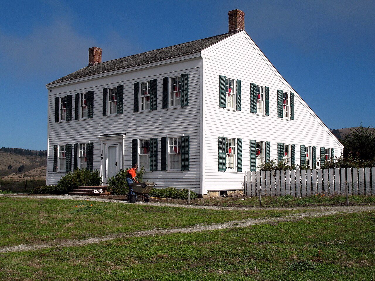
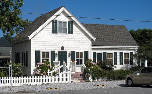
4 listings: 3 buildings, among them the James Johnston House (listed 1973, the first), and 1 structure.
How old are the homes in Half Moon Bay?
5% of Half Moon Bay’s homes were built before 1940 (Census estimate, ±2.4 points), against a typical 3.4% for a California town; the median home was built in 1979.
Founding dates: Wikidata, Wikipedia, the U.S. post office records of Blevins & Helbock (CC0) and the Census. Homes by year built: Census ACS 2020–24. National Register of Historic Places: National Park Service (list of May 22, 2026). Old photos, postcards and papers: Wikimedia Commons, the Library of Congress and other public archives, credited on each item’s page. Maps: U.S. Geological Survey historical topographic maps (via Esri) and Sanborn fire-insurance maps (Library of Congress). History text and census tables: Wikipedia (CC BY-SA 4.0). Places that used to be: USGS Geographic Names Information System (2021).
From Wikimedia Commons (4), Wikidata (3), the National Register of Historic Places (4), Wikipedia, Wikidata and Wikipedia for famous people, U.S. Geological Survey historical maps, U.S. Census counts (via Wikipedia), the US Post Offices dataset (Blevins & Helbock), the USGS Geographic Names Information System, Sanborn fire insurance maps (Library of Congress) and old county and town histories (Internet Archive). Archive images are copied here with their credits and licenses, shown on each photo’s page. Refreshed monthly.





 2025
 2017
 2013
 2009


