
Freeport Water Tower, 2013
Freeport’s story
162 years in pictures
The archive holds 1 old photo or paper going back to 2013 and 4 maps from 1952 on.
- 1864Freeport is settled
Each edition grades its towns against each other only.
A town, settled in 1864.
Freeport’s July high is 93°F, against 89°F in California’s towns and 85°F across U.S. towns. We don’t grade Freeport yet; the figures below are still real.
The archive holds 1 old photo or paper going back to 2013 and 4 maps from 1952 on.
Museums, parks, gardens and other places to visit around Freeport. Close and well known come first.
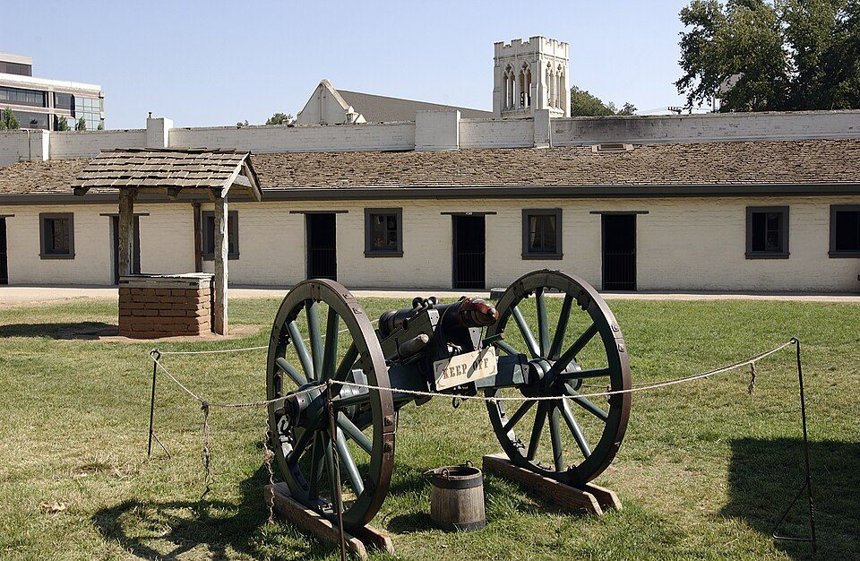 8 mi State parkSutter's Fort
 13 mi Stadium & arenaARCO Arena
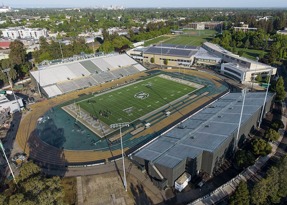 8 mi Stadium & arenaHornet Stadium
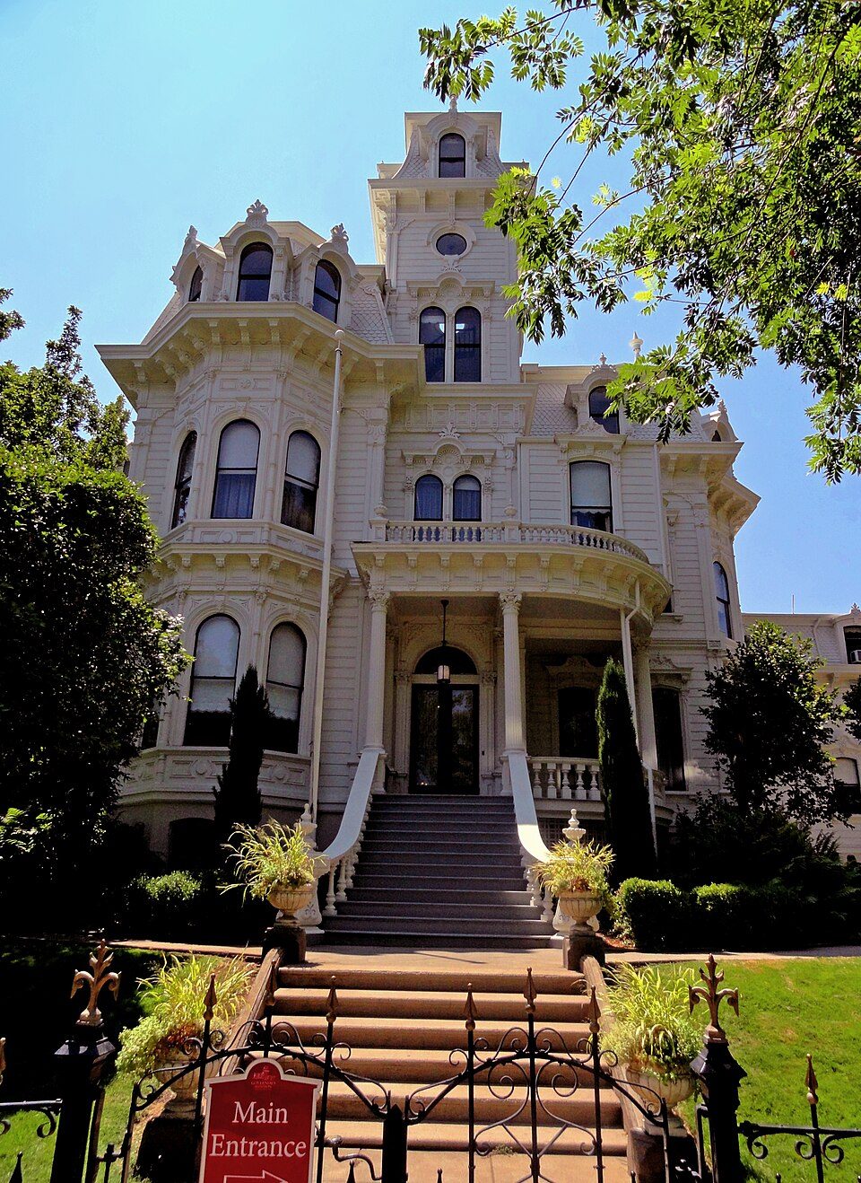 8 mi State parkGovernor's Mansion State Historic Park
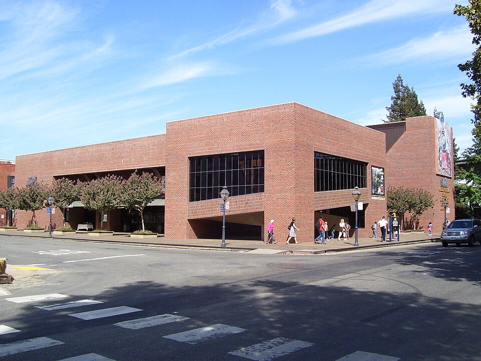 8 mi MuseumCalifornia State Railroad Museum500K visitors a year
 8 mi State parkLeland Stanford Mansion State Historic Park
Sutter's Fort: Ian Howard, CC BY 2.5 · ARCO Arena: CLopez63, CC BY-SA 3.0 · Hornet Stadium: Quintin Soloviev, CC BY 4.0 · Governor's Mansion State Historic Park: Mark James Miller, CC BY 3.0 · California State Railroad Museum: The original uploader was Swampyank at English Wikipedia., CC BY-SA 3.0 · Leland Stanford Mansion State Historic Park: M.Mierzwa. MCalamari at en.wikipedia, Public domain
Freeport is unincorporated, so Sacramento County and regional agencies provide most services.
EPA SDWIS (Oct 9, 2026) · HIFLD + EIA-861 2025 · Census 2020 ZCTAs · NCES 2024–25 · registration: vote.gov, updated Nov 18, 2024.
Ordered by what stands out in Freeport.
Expected storm and flood damage is higher than in 69% of U.S. communities.
FEMA National Risk Index · OpenFEMA
Freeport has mild winters and hot summers, with very little rain. Freeport’s January low is 39°F, where California’s towns sit at 40°F and U.S. towns at 22°F.
NOAA U.S. Climate Normals, 1991–2020
44% of Freeport adults sleep under 7 hours. Freeport beats the California average on 2 of 32 CDC measures and trails it on 21. 12% of Freeport adults binge drink.
| Freeport | California towns | U.S. towns | |
|---|---|---|---|
| Feel lonely (CDC PLACES) | 44% | 36% | 33% |
| Yearly checkup (CDC PLACES) | 68% | 72% | 79% |
| Sleep under 7 hours (CDC PLACES) | 44% | 35% | 36% |
| Food insecurity (CDC PLACES) | 29% | 16% | 14% |
| What stands out | Freeport | CA |
|---|---|---|
| Fewer adults who have had cancer | 4% | 6.4% |
| Fewer binge drinkers | 12.4% | 15.3% |
| More adults facing a utility shut-off | 12.3% | 7.3% |
CDC PLACES 2025 · modeled estimates for adults · CMS · HRSA
Zillow Home Value Index · Redfin Data Center
| Biggest places to walk | Trails | Acres |
|---|---|---|
| 1. Old Sacramento State Historic Park | 0.5 mi | 9 |
Trails & parks © OpenStreetMap contributors · Conserved land: USGS PAD-US
7 within 15 miles of the center of Freeport
One town shares a border with Freeport.
| Town | CA rank | Overall | Cost | Safety | Schools | Health |
|---|---|---|---|---|---|---|
| Freeport | — | — | — | — | — | — |
| Sacramento | #509 | C− | D | D | B− | B |
Freeport isn’t graded (fewer than 1,000 residents, or not enough data). Compare Freeport with a neighbor →
Short answers, built from the data on this page.
We don’t grade Freeport yet; the figures below are still real.


