Guest, Sign inJoin

Post to Freedom

We’ll email a one-tap link to publish your post. No password, and nothing is public until you click it.
Already a member? Sign in
California›Santa Cruz County

FreedomCA

A town of 3,172.

What should you know before moving to Freedom?

FEMA rates its natural-hazard risk higher than 97% of U.S. communities, with earthquakes at the top. Overall it grades C, 347th among California's 841 graded towns. The median household earns $94K and it is easier to get around on foot or by transit than 87% of U.S. towns. Its weakest subject is cost of living: homes are expensive, about $755K for a typical one and 6.8 times the Santa Cruz metro’s $111K median household income. Freedom’s July high is 72°F, against 89°F in California’s towns and 85°F across U.S. towns. The biggest park or preserve is Buena Vista Park, at 26 acres.

What makes Freedom stand out

Where Freedom beats most towns, and one thing worth knowing.

A growing town

Freedom has grown 25% from 2010 to 2020

3,070 counted in 2010 and 3,835 in 2020.

3,0702010
3,8352020

U.S. Census 2010 & 2020 counts

How Freedom grades

Each subject compared with towns across the country (schools within California), ordered by how far Freedom is from typical.

How grading works

Its grades run from A for walkability (better than 87% of comparable towns) to D− for hazard risk (better than 2%), so the C overall blends very different results.

Character Graded, but not part of the overall grade.
Described, not graded Taste, not quality: snow or an older crowd is neither good nor bad.

How TownRatings grades towns →

Al (L) and Bill (R) Leikam 1954 Corralitos Creek
Al (L) and Bill (R) Leikam 1954 Corralitos Creek, 1954
Freedom’s story

Freedom in pictures

Census counts: 2,765 in 1950, a peak of 8,361 in 1990, 3,835 in 2020. The archive holds 2 old photos and papers going back to 1954 and 6 maps from 1912 on.

Explore the history →
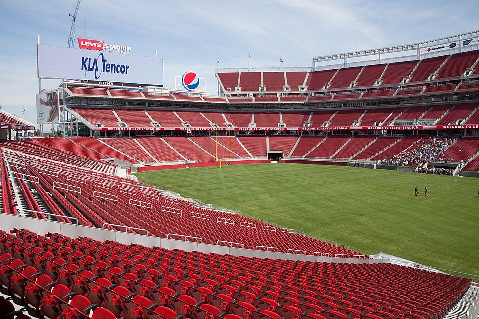
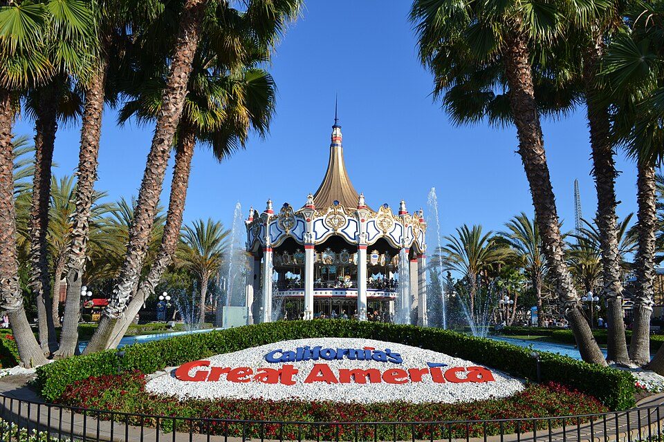
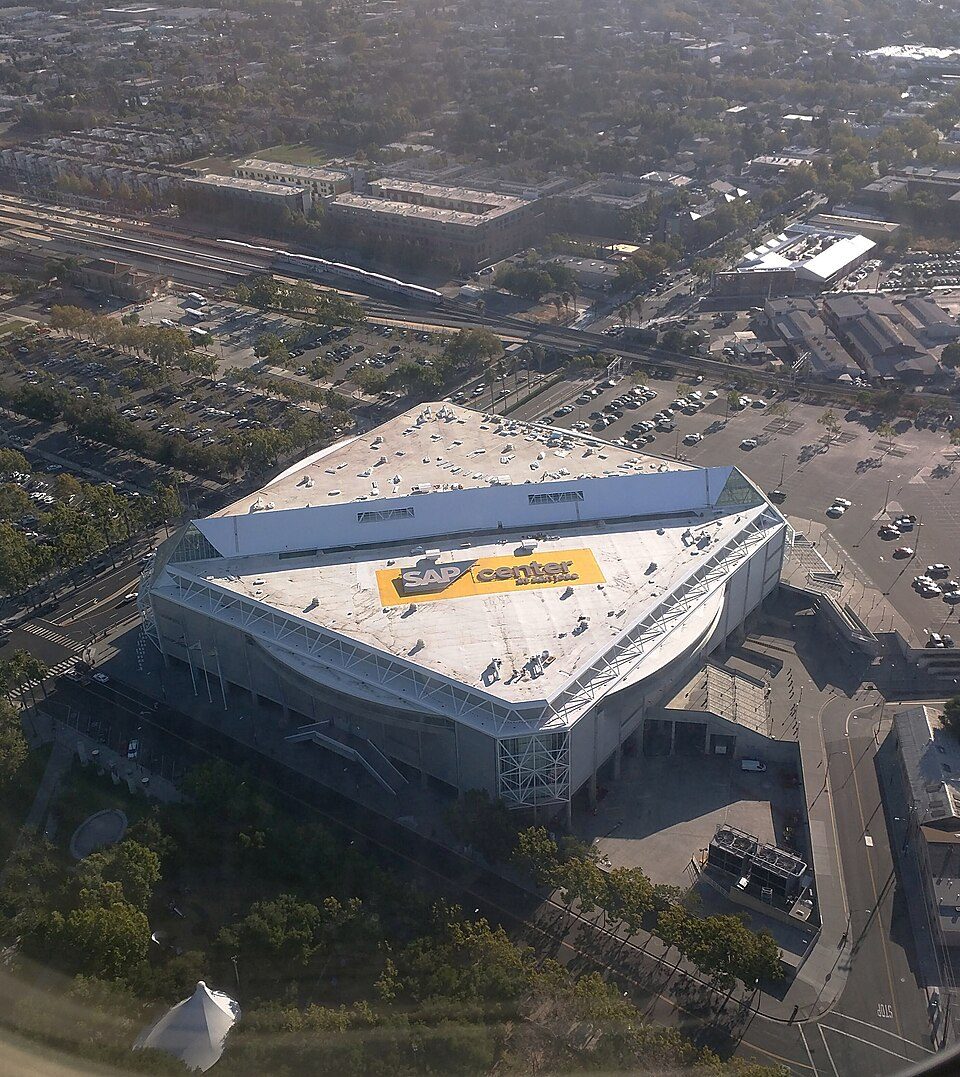
Nearby attractions

Levi's Stadium and 68 more within 40 miles

Museums, parks, gardens and other places to visit around Freedom. Close and well known come first.

All 101 attractions →
Sources: National Park Service · ski areas © OpenSkiMap / OpenStreetMap contributors · Wikidata · Wikipedia readership · photos via Wikimedia Commons
Photo credits

Levi's Stadium: Matthew Roth, CC BY-SA 2.0 · California's Great America: Oleg Alexandrov, CC BY-SA 4.0 · Monterey Bay Aquarium: Meij.kobayashi, Public domain · SAP Center: Dicklyon, CC BY-SA 4.0 · Monterey Museum of Art: Sgerbic, CC BY-SA 4.0 · Santa Cruz Beach Boardwalk: Josta Photo, CC BY 2.0

Getting set up

Moving to Freedom: who provides what

Freedom is unincorporated, so Santa Cruz County and regional agencies provide most services.

PowerPG&E37.5¢/kWh · EIA 2025HIFLD · EIA
WaterCity of Watsonville water systemNo health-based violations in 5 years · EPAEPA
Internet6 providers99% of addresses get 100/20 MbpsFCC
Trash & county servicesSanta Cruz CountySanta Cruz County provides services here
SchoolsPajaro Valley Joint Unified School DistrictWhich school depends on your addressNCES
Register to voteOnlineIn California you can register online until 15 days before Election Day, in person up to and including Election Day, or by mail (postmarked 15 days before).vote.gov
Who runs elections hereSanta Cruz County Clerk - ElectionsSanta Cruz County; contacts on the Handbook page.FVAP, Jul 2025
ZIP codes95019, 9507695019 59% · 95076 41%Census 2020

EPA SDWIS (Oct 9, 2026) · HIFLD + EIA-861 2025 · Census 2020 ZCTAs · NCES 2024–25 · registration: vote.gov, updated Nov 18, 2024.

The data

Ordered by what stands out in Freedom.

Freedom has a longer frost-free season than nearly all U.S. towns and sends most of its workers to Watsonville and beyond.

Natural hazardsHazard risk grade D−

Very high risk in Freedom, with earthquakes at the top

97risk score of 100
FEMA risk score
97Very high riskLowerHigher
EarthquakesInland flooding
3
federal disasters paid out here

FEMA National Risk Index · OpenFEMA

SchoolsC

On state tests, Freedom’s schools trail 67% of California districts

Its public schools are run by the Pajaro Valley Unified school district. Its two schools are below.

33%of CA districts it outscoresCSchool Grade
SchoolLevelStudentsLetter
Calabasas ElementaryLargest public elementary schoolGrades K–6Grades K–6512–
Santa Cruz County Career Advancement CharterLargest public high schoolGrades 12Grades 12207–

NCES · EDFacts · graded within CA on state tests and graduation

Work & commuteJobs & income grade A−

Most working residents commute out of Freedom

Freedom has 332 jobs for its 1,535 working residents: even if every job went to a resident, most would still commute out.

Most working residents leave Freedom for work: only 1% work in town. The average trip to work in Freedom is 31 minutes. Since 2013, Freedom has added 116 jobs, to 332 in 2023.

1%work in town
FreedomCalifornia townsU.S. towns
Average trip to work31 minutes28 minutes25 minutes
Working residents who work in town1.2%6.6%8%
Below the poverty line7.3%10%9.6%
Median household income$94,000$95,000$80,000

Where working residents work

In Freedom1%
Watsonville19%
Santa Cruz10%
San Jose7%
Live Oak5%
14 mi
median commute distance
332
jobs based in Freedom
A commuter town
jobs vs. working residents
A
Walkability grade: more walkable than 87% of U.S. towns

Census LEHD 2023 · ACS

Climate

Freedom has mild winters and pleasant summers

The Watsonville Wtr Wks weather station records that the frost-free season runs about 324 days, longer than in 96% of U.S. towns. January nights average 40.8°, milder than in 95% of U.S. towns; July afternoons average 71.9°.

Freedom has warm winters and cool summers. Freedom’s January low is 41°F. Snow is almost unheard of.

75°summer high

Typical low → high °F

Winter41–62°
Spring46–66°
Summer53–72°
Fall48–71°
Dec 13
typical first frost
Jan 28
typical last frost
+1.9°
vs. the 20th-century average
75°
typical summer high

NOAA U.S. Climate Normals, 1991–2020

HealthB

Residents of Freedom are healthier than 61% of U.S. towns

Freedom beats the California average on 5 of 32 CDC measures and trails it on 5. 68% of adults had a checkup this year in Freedom.

61%healthier than U.S. townsBHealth Grade
FreedomCalifornia townsU.S. towns
Yearly checkup (CDC PLACES)68%72%79%
No health insurance, 18–64 (CDC PLACES)17%9%8.1%
High blood pressure (CDC PLACES)27%31%35%
Feel lonely (CDC PLACES)38%36%33%
32 measures vs. California
5 better22 too close to call5 worse
What stands outFreedomCA
Fewer adults who have had cancer5.3%6.4%
Fewer adults with COPD4.3%5.1%
More uninsured adults16.8%10.6%
Watsonville Community Hospital
0.8 mi away · emergency room
None
primary care, dental or mental-health shortage
49th
percentile among CA towns

CDC PLACES 2025 · modeled estimates for adults · CMS · HRSA

OutdoorsB−

Conserved land covers 7.2% of Freedom

0.1 miles of trail in 1 park or preserve.

7.2%conserved
FreedomCalifornia townsU.S. towns
Miles of trail per square mile0.1 miles per square mile1.00.4
Conserved land7.2%4.2%4.3%
7.2%
conserved · 52 of 721 acres
0.1 mi
of trails · 0.1 per sq mi
Biggest places to walkTrailsAcres
1. Buena Vista Park—26

Trails & parks © OpenStreetMap contributors · Conserved land: USGS PAD-US

Keep exploring

Everything we know about Freedom

17pages on Freedom
After high school

Colleges nearby

4 within 15 miles of the center of Freedom

A commuter town

99% of working residents leave Freedom for work

Where Freedom’s working residents go each day. Line width shows the share.

19% → Watsonville Watsonville 19% 10% → Santa Cruz Santa Cruz 10% 7% → San Jose San Jose 7% 5% → Live Oak Live Oak 5% 3% → Capitola Capitola 3% 3% → Scotts Valley Scotts Valley 3% Freedom · 1% stay
332jobs based in Freedom
1%of working residents work in town
14 mimedian commute distance

Census LEHD 2023

About Freedom

Census-designated place in California, United States

Freedom is a census-designated place (CDP) in Santa Cruz County, California, United States. The population was 3,835 at the 2020 census.

From Wikipedia, licensed CC BY-SA 4.0 · facts via Wikidata (CC0)

Area
1.1 sq mi
Elevation
125 ft
ZIP code
95019

Freedom’s neighbors

3 towns share a border with Freedom.

Explore the map →
How the neighbors grade
TownCA rankOverallCostSafetySchoolsHealth
Freedom#347CC−—CB
Watsonville#720D−DCCC
Aptos Hills-Larkin Valley——D−—CA−
Amesti#654DD—CC+

Aptos Hills-Larkin Valley has fewer than 2,500 residents, so it gets subject grades but no overall grade. Freedom, Aptos Hills-Larkin Valley and Amesti report no FBI crime data of their own. Compare Freedom with a neighbor →

Questions about Freedom

Short answers, built from the data on this page.

Is Freedom, CA a good place to live?

Freedom grades C overall, better than 34% of U.S. towns and #347 of 841 in California. It grades B for health and C for schools. Hazard risk is its weak spot, with a D−.

Is Freedom, CA expensive?

Yes. Cost of living, which also weighs rents, property taxes and how many households pay 30% or more of their income for housing, grades C−.