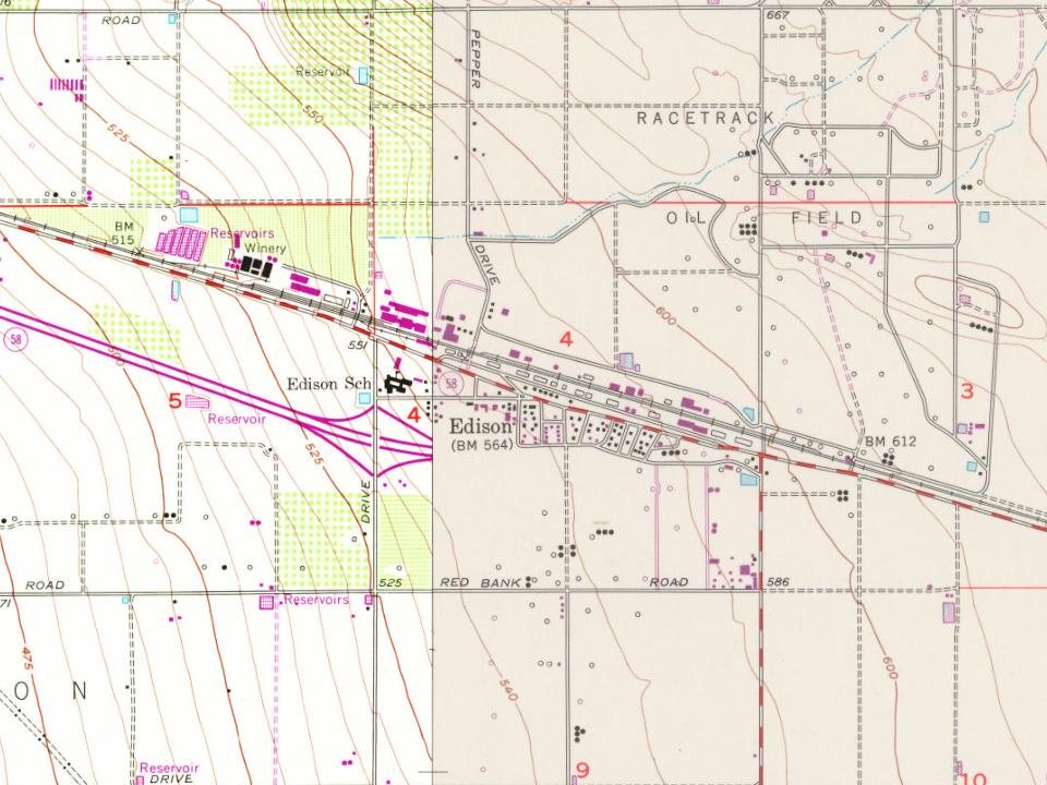
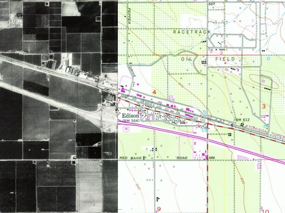
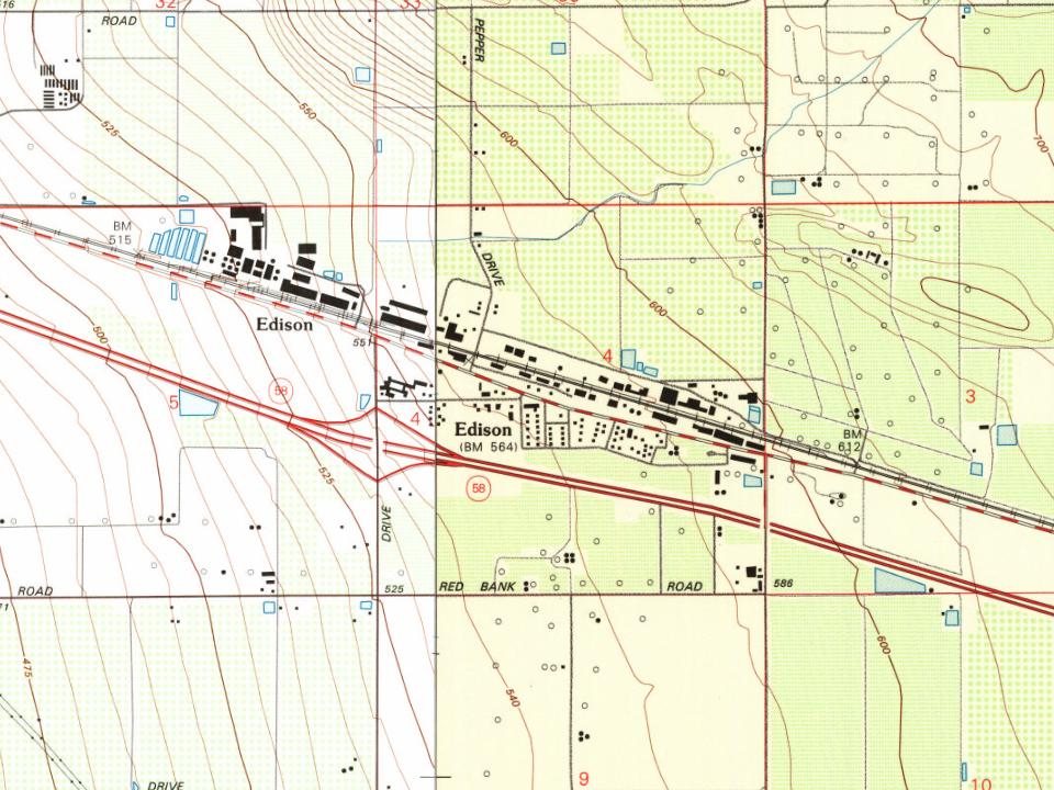
Most of Edison was built recently: 0.0% of its homes predate 1940 and the median home dates from 1968. Below: 4 old photos and papers, maps from 1931 on, and old-book passages.
Wikipedia doesn’t have a history of Edison yet. The photos, dates and memories neighbors add here are how it gets written.
Edison (formerly, Wade) is an unincorporated community and census designated place (CDP) in the Tehachapi mountains of Kern County, California. It is located 7.5 miles (12 km) east-southeast of downtown Bakersfield, at an elevation of 571 feet (174 m). As of the 2020 census, Edison had a population of 255. In 1902, the Edison Electric Company built a substation on the site. The Southern Pacific Railroad arrived at Wade in 1903, and changed the name to Edison. In 1928 oil was found nearby, and the Edison Oil Field gradually developed, peaking in the 1950s. The community is within the administrative boundaries of the oilfield, and active wells surround the town. The Edison post office opened …
Its first post office opened in 1903.
Intro from Wikipedia. Population: U.S. Census Bureau.
From the old history books
What they wrote about Edison in 1914
Passages that mention Edison, cut from the printed page as they were published.
History of Kern County, California, with biographical sketches of the leading men and women of the county who have been identified with its growth and development from the early days to the present1914 · page 187Read the page →
Read the text
nection with a subdivision of 7000 acres now being placed on the market ; Rosedale, which was founded as the community center of Rosedale colony in 1889 and which is now holding its own with a country store, a school house and two churches, and Edison, which is the chief center of the new citrus industry just beginning on the mesa east of Bakersfield. At present Edison is only a little group of residences with a school house and a railroad station and unloading tracks, but it has reasonable prospects fur a more important place in history later on.
Text read by machine from the scan; it may contain errors.
Scans and text from the Internet Archive. Books published in 1930 or earlier, which are in the public domain.
Timeline
Edison, 1903 to 1940
Woven from the archive, old maps, post office records, the National Register and the people born here.
Nothing in the archives for these yearsWeddings on Main Street, storms, parades, school pictures, the old store. If it’s in your family album, it belongs here.
Founding dates: Wikidata, Wikipedia, the U.S. post office records of Blevins & Helbock (CC0) and the Census. Homes by year built: Census ACS 2020–24. National Register of Historic Places: National Park Service (list of May 22, 2026). Old photos, postcards and papers: Wikimedia Commons, the Library of Congress and other public archives, credited on each item’s page. Maps: U.S. Geological Survey historical topographic maps (via Esri) and Sanborn fire-insurance maps (Library of Congress). History text and census tables: Wikipedia (CC BY-SA 4.0). Places that used to be: USGS Geographic Names Information System (2021). How TownRatings grades history →
From Wikimedia Commons (4), the Library of Congress (1), U.S. Geological Survey historical maps, the US Post Offices dataset (Blevins & Helbock), the USGS Geographic Names Information System and old county and town histories (Internet Archive). Archive images are copied here with their credits and licenses, shown on each photo’s page. Refreshed monthly.


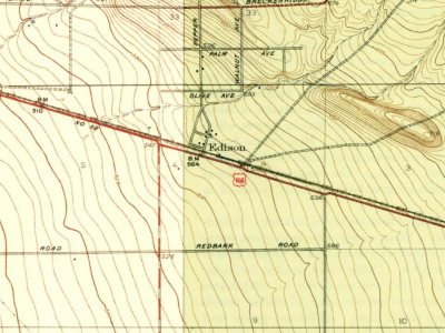


 1940
 1940
 2015