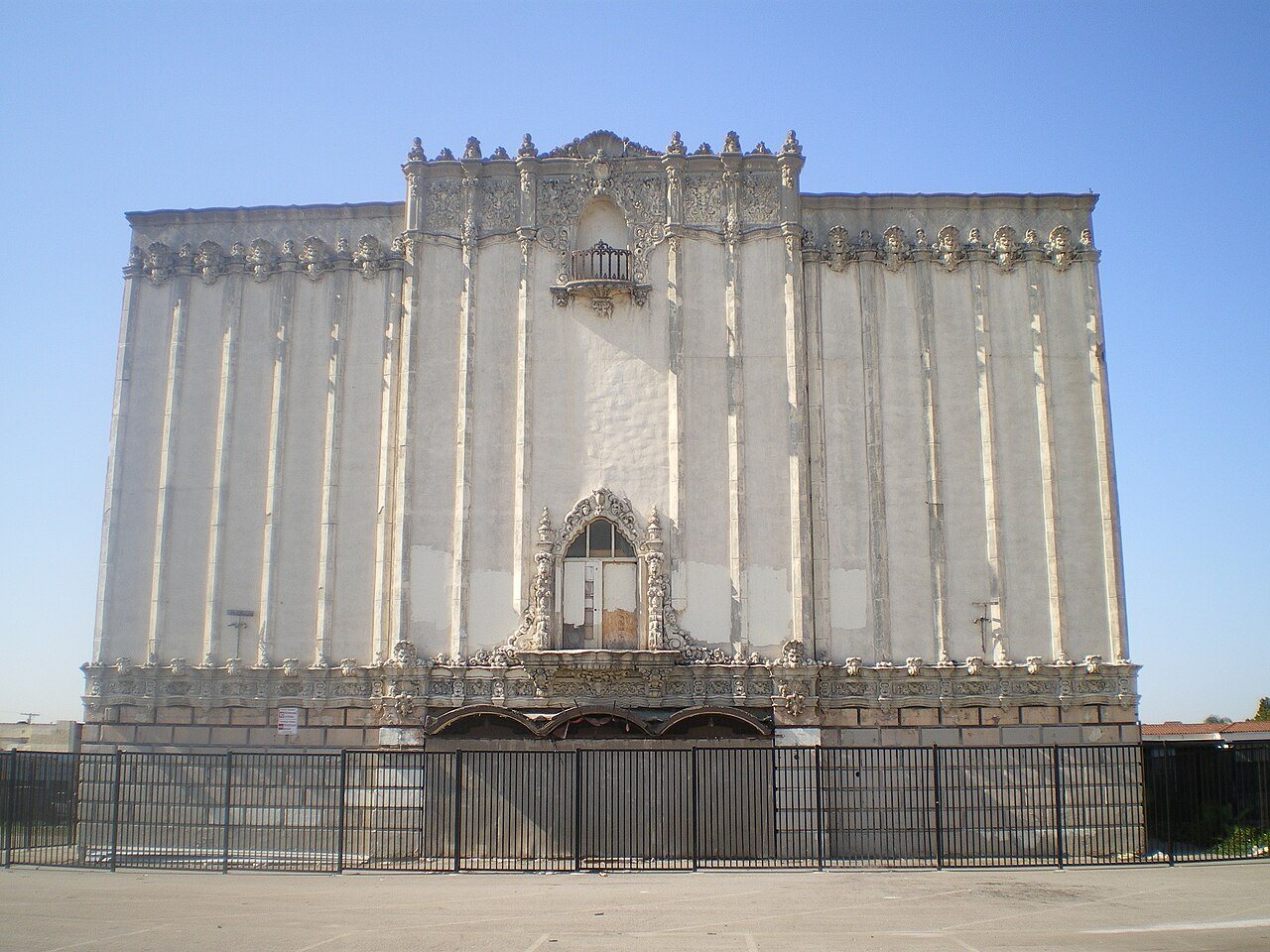
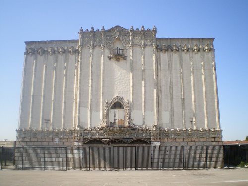
Cost of living is its weak spot: the typical home is worth about $671K, 7 years of the Los Angeles metro’s $96K median household income. Overall, East Los Angeles earns a D, better than 13% of U.S. towns. It ranks 574th of 841 in California. Hazard risk is weaker too (D) — FEMA rates its natural-hazard risk higher than 89% of U.S. communities, with earthquakes at the top. Walkability is its strong suit (A+) — it is more walkable than 98% of U.S. towns. The city has 4 places on the National Register of Historic Places, among them Golden Gate Theater. The biggest place to walk is Belvedere Park, 45 acres with 1.1 miles of trail. History is its standout character grade: an A, better than 94% of U.S. towns, with 4 places on the National Register.
Figures: home values, Zillow · incomes, Census ACS, 2020–24 · FEMA National Risk Index · National Register of Historic Places · OpenStreetMap.
Its grades run from A+ for walkability (better than 98% of comparable towns) to D for hazard risk (better than 7%), so the D overall blends very different results.
East Los Angeles has milder winter nights than nearly all U.S. towns and is mostly renters, but it scores below Commerce and its other neighbors on health.
73% of East Los Angeles’s expected losses from natural hazards come from earthquakes, followed by inland flooding at 26%. Federal disaster aid has reached households in East Los Angeles once, in 2025. Flood insurance has paid out on 6 claims locally since 1980.
Two of the 48 schools are below, and why each made the list. Its public schools are run by the Los Angeles Unified school district. Public school enrollment in East Los Angeles: 3,603 students across 6 schools.
All 4 graded neighbors score healthier than its C−, from Commerce (C) to Monterey Park (B−).
Among adults in East Los Angeles, 37% get no exercise outside work. East Los Angeles: 35% of adults say their health is fair or poor, above both California’s towns (22%) and U.S. towns (19%). Against the California average, East Los Angeles comes out ahead on 2 CDC measures out of 32, and behind on 21.
The share of workers in East Los Angeles who work from home: 8.5%. Only 5% of working residents stay in East Los Angeles for work; the rest commute out. East Los Angeles: 17% of residents live below the poverty line, above both the California town median (10%) and the median of U.S. towns (9.6%). In East Los Angeles, the mean commuting time is 30 minutes.
5%work in town
East Los Angeles
California towns
U.S. towns
Below the poverty line
17%
10%
9.6%
Average trip to work
30 minutes
28 minutes
25 minutes
Median household income
$69,000
$95,000
$80,000
Work from home
8.5%
14%
11%
Where working residents work
In East Los Angeles5%
Los Angeles31%
Commerce4%
Pasadena2%
Montebello2%
9 mi
median commute distance
14,588
jobs based in East Los Angeles
A commuter town
jobs vs. working residents
A+
Walkability grade: more walkable than 98% of U.S. towns
Count the trails in 7 parks and preserves and they come to 4.3 miles. East Los Angeles’ trail density is 0.6 miles per square mile. Parks and preserves locally: 7, covering 88 acres.
On the market in East Los Angeles: a median 53 days to sell. Zillow values the typical East Los Angeles home at about $671,000, about the same as a year ago, 12% below the California typical home. Just over a third of households are owner-occupiers locally.
Unincorporated community in California, United States
East Los Angeles, or East L.A., (El Este de Los Angeles in Spanish) is an unincorporated community in the Eastside of Los Angeles County, California, United States. It borders Monterey Park to the northeast; the City of Los Angeles to the north, west, and a small portion to the south. Commerce to the south, and Montebello to the southeast. California State Route 60 and Interstate 710 intersect through the community. According to the United States Census Bureau, East Los Angeles is designated as a census-designated place (CDP) for statistical purposes. The most recent data from the 2020 census reports a population of 118,786, reflecting a 6.1% decrease compared to the 2010 population of 126,…
East Los Angeles grades D overall, better than 13% of U.S. towns and #574 of 841 in California. It grades C− for health and B− for schools. Hazard risk is its weak spot, with a D.
Is East Los Angeles, CA expensive?
Yes. Cost of living, which also weighs rents, property taxes and how many households pay 30% or more of their income for housing, grades D.
What is East Los Angeles, CA known for?
27 notable people were born here, including Edward James Olmos and Oscar De La Hoya.