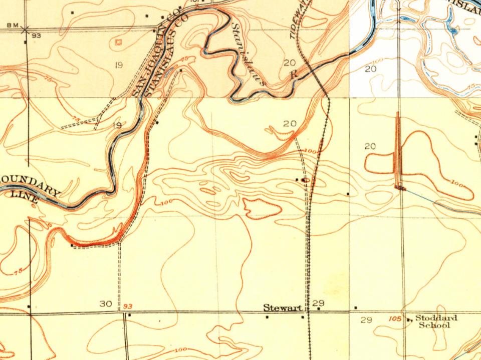
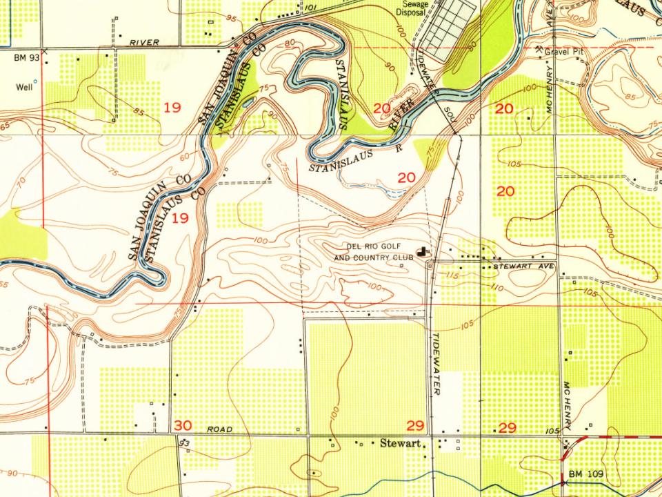
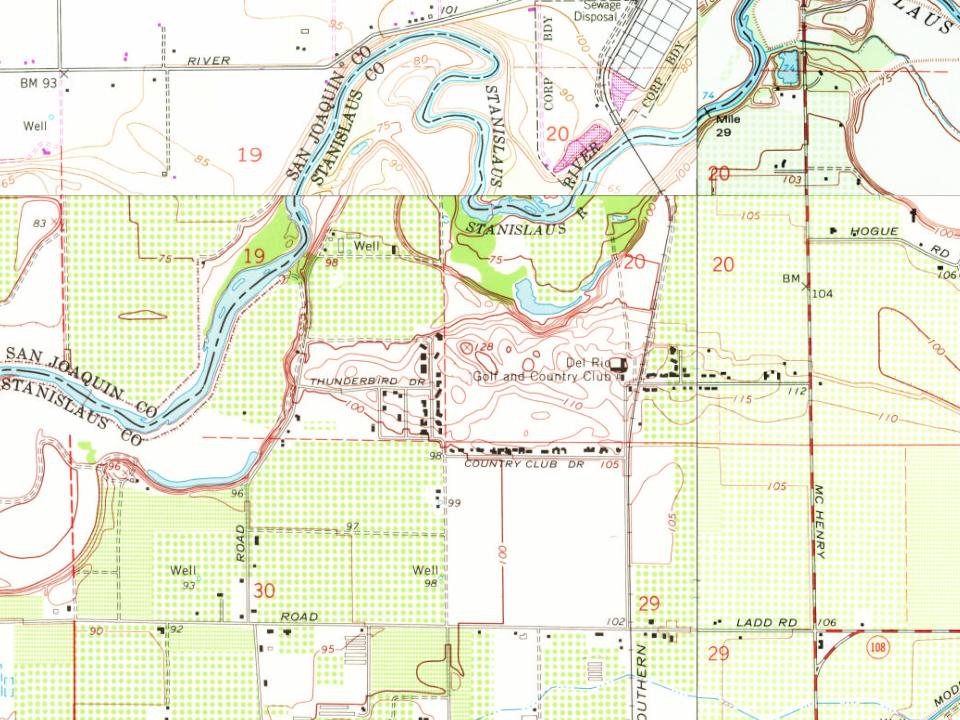
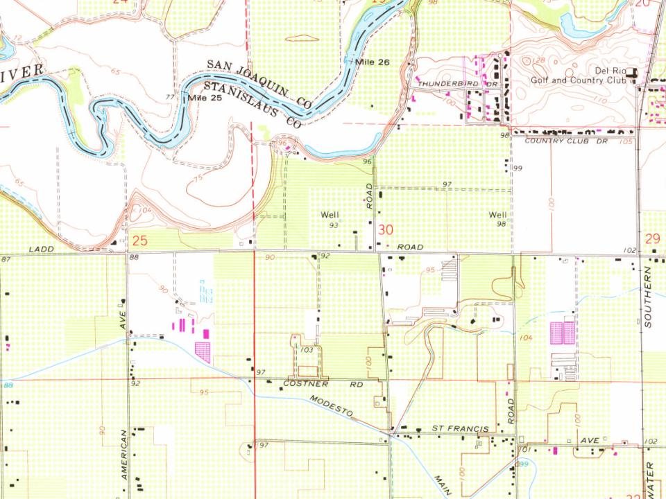
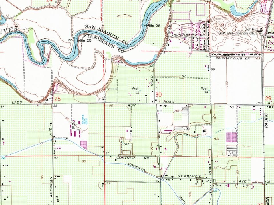
Most of Del Rio was built recently: 3% of its homes predate 1940 and the median home dates from 1985. Below: maps from 1915 on and the census since 2000.
On its age, its old homes and the National Register, Del Rio is more historic than 16% of U.S. towns. Its National Register listings hold the grade up; its share of homes from before 1940 pulls it down.
C−
HistoryA character grade: shown, never part of Del Rio’s overall grade.
Few California towns list much on the Register (a typical California town has 0.0 per 10,000 residents, the U.S. 2.4), so Del Rio’s 0.0 sits below most of its state (31% of California towns have fewer) while its 0 listings outnumber those of 23% of U.S. towns.
How sure. Graded on two of the three inputs, so a change in either one moves the letter more than it would with three. The pre-1940 share is a Census survey estimate (±5.0 points).
Founding year: our sources. Homes: Census ACS 2020–24. National Register: National Park Service, May 2026 list; each listing counted once (boundary changes and added documentation belong to their listing), and a historic district counts its contributing buildings. How TownRatings grades history →
What stands out about Del Rio’s past
Read from the archive, the National Register and the record. The page puts what stands out first.
Del Rio has been subject to a number of planning activities, beginning with the 1992 analysis by Stanislaus County regarding the projected growth impacts of this area. This plan, an integral part of the county General Plan, emphasized a continuation of the low density development of the Del Rio area, with balanced uses based upon the historic residential, agricultural and open space precedent land uses. The plan included prioritization of high quality residential development and the undergrounding of all utility infrastructure.
Passages that mention Del Rio, cut from the printed page as they were published.
History of Stanislaus County California1921 · page 254Read the page →
Read the text
In 1868 Mr. Schell purchased three and a half leagues of land embraced in the Spanish Grant known as the "Rancheria Del Rio Estanislao," upon which the town of Knights Ferry was situated and upon a part of which was developed the celebrated Red Mountain Vineyard. A. Schell became interested in this vineyard, in 1866, and at first became a partner with George H. Krause, a viticulturist from the Rhine Valley in Germany. Mr. Krause died shortly after this partnership was formed, when A. Schell became sole proprietor. In 1867, he took in his nephew, H. R. Schell, as a partner and well and ably did they manage this magnificent property. In 1862
Text read by machine from the scan; it may contain errors.
Scans and text from the Internet Archive. Books published in 1930 or earlier, which are in the public domain.
By decade
No old photos in the archives yet
Weddings on Main Street, storms, parades, school pictures, the old store. If it’s in your family album, it belongs here.
Be the first to add onePhotograph a print flat, in daylight, no flash.
Old hamlets and crossroads still carry their names on the map.
Hamlets and corners on the map
MeyersNorth McHenry
Places and cemeteries from the USGS Geographic Names Information System (2021).
Questions about Del Rio’s history
How does Del Rio rank for history?
Del Rio is more historic than 16% of U.S. towns. The History grade combines the town’s founding era, the share of homes built before 1940 and its National Register listings. It’s a character grade, so it isn’t part of the overall grade. How it works.
How old are the homes in Del Rio?
3% of Del Rio’s homes were built before 1940 (Census estimate, ±5.0 points), against a typical 3.4% for a California town; the median home was built in 1985.
Founding dates: Wikidata, Wikipedia, the U.S. post office records of Blevins & Helbock (CC0) and the Census. Homes by year built: Census ACS 2020–24. National Register of Historic Places: National Park Service (list of May 22, 2026). Old photos, postcards and papers: Wikimedia Commons, the Library of Congress and other public archives, credited on each item’s page. Maps: U.S. Geological Survey historical topographic maps (via Esri) and Sanborn fire-insurance maps (Library of Congress). History text and census tables: Wikipedia (CC BY-SA 4.0). Places that used to be: USGS Geographic Names Information System (2021).
From Wikipedia, U.S. Geological Survey historical maps, U.S. Census counts (via Wikipedia), the USGS Geographic Names Information System and old county and town histories (Internet Archive). Archive images are copied here with their credits and licenses, shown on each photo’s page. Refreshed monthly.