
Stock inside Cuyamaca Reservoir Inclosure, 1894
Cuyama’s story
84 years in pictures
The archive holds 3 old photos and papers going back to 1894 and 3 maps from 1942 on.
- 1942Cuyama is settled
Each edition grades its towns against each other only.
Home to 21 people, the town was settled in 1942.
100% of households are owner-occupiers in Cuyama, above both California’s towns (64%) and U.S. towns (73%). Cuyama has fewer than 1,000 residents, too few for fair grades; the figures below are still real.
In a town this size, neighbors are the best guide. Ask them anything.
The archive holds 3 old photos and papers going back to 1894 and 3 maps from 1942 on.
Cuyama is unincorporated, so Santa Barbara County and regional agencies provide most services.
EPA SDWIS (Oct 9, 2026) · HIFLD + EIA-861 2025 · Census 2020 ZCTAs · NCES 2024–25 · registration: vote.gov, updated Nov 18, 2024.
Ordered by what stands out in Cuyama.
FEMA puts nearly half of Cuyama’s expected hazard losses down to landslides, and 44% to drought. Expected storm and flood damage is higher than in 100% of U.S. communities.
FEMA National Risk Index · OpenFEMA
One of its 2 schools is below, with the reason it’s listed. Public schools: the Cuyama Joint Unified school district. Enrollment at the town’s public school: 107 students.
| School | Level | Students | Letter |
|---|---|---|---|
| Cuyama ElementaryLargest public elementary schoolGrades K–8 | Grades K–8 | 107 | D |
NCES · EDFacts
Cuyama’s typical July afternoon high is recorded as 94°F.
NOAA U.S. Climate Normals, 1991–2020
21% of adults have been diagnosed with depression in Cuyama. Across all 32 CDC measures, Cuyama beats California on 1 and trails on 10. Two figures for adults locally: 16% report frequent physical distress, 14% have diabetes.
| Cuyama | Typical California town | Typical U.S. town | |
|---|---|---|---|
| Fair or poor health (CDC PLACES) | 26% | 22% | 19% |
| No health insurance, 18–64 (CDC PLACES) | 13% | 9% | 8.1% |
| Frequent physical distress (CDC PLACES) | 16% | 14% | 14% |
| Diabetes (CDC PLACES) | 14% | 12% | 12% |
| What stands out | Cuyama | CA |
|---|---|---|
| More adults screened for colon cancer | 63.5% | 57.5% |
| More adults with COPD | 6.8% | 5.1% |
CDC PLACES 2025 · modeled estimates for adults · CMS · HRSA
None within 15 miles of Cuyama; the nearest are
About 14 of every 100 Cuyama residents are enrolled in college, against 8 across California.
Census-designated place in California, United States
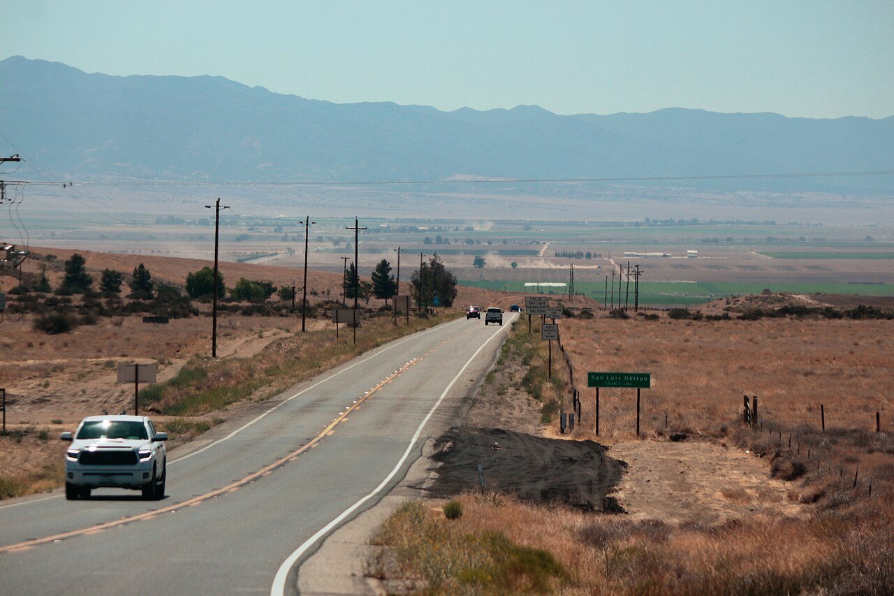
Cuyama (; (Chumash: Kuyam, meaning "Clam")) is a census-designated place in Santa Barbara County. California. It is located in the Cuyama Valley, near the Carrizo Plain. The Cuyama River runs adjacent to the town, flowing west towards the Pacific Ocean. Cuyama is surrounded by many apricot, peach, and plum orchards. The ZIP Code is 93254, and the community is inside area code 805. The population was 37 at the 2020 census. The name "Cuyama" comes from an Indian village named Kuyam. Cuyama is located on California State Route 166 2.5 miles (4 km) east of its much larger neighbor New Cuyama. South of the town is the Sierra Madre mountain range, most of which is included in the Los Padres Natio…
From Wikipedia, licensed CC BY-SA 4.0 · facts via Wikidata (CC0)
Short answers, built from the data on this page.
Cuyama has fewer than 1,000 residents, too few for fair grades; the figures below are still real.