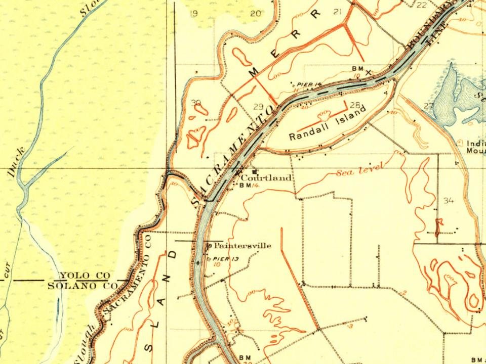
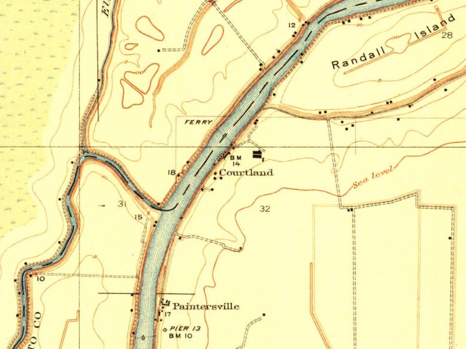
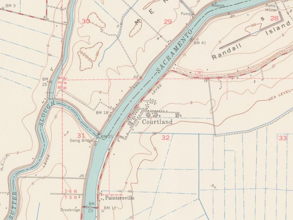
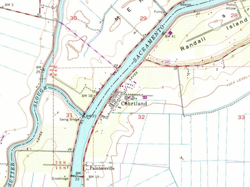
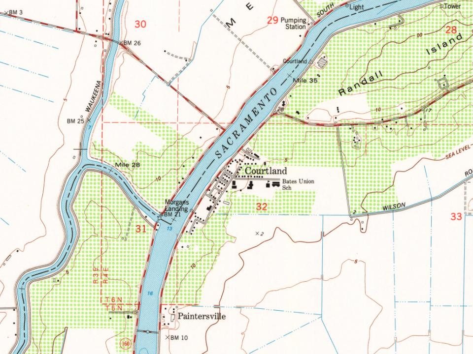
Every edition of the U.S. Geological Survey’s map of Courtland. Tap a year, or press play to watch the town change.
1908Courtland sheet · 1:62,500
U.S. Geological Survey historical topographic maps (public domain), via Esri’s collection of the scans. The red ring marks the center of Courtland.
The story so far
Courtland, in brief
Wikipedia doesn’t have a history of Courtland yet. The photos, dates and memories neighbors add here are how it gets written.
Courtland is an unincorporated community in Sacramento County, California, United States. Courtland is located along the Sacramento River, 17 miles (27 km) south-southwest of Sacramento. Courtland has a post office with ZIP code 95615, which was established in 1872. As of the 2020 census, Courtland had a population of 326. Courtland was named after Courtland Sims, son of James V. Sims, a landowner who opened a steamer landing in the community in 1870. For statistical purposes, the United States Census Bureau has defined that community as a census-designated place (CDP).
Its first post office opened in 1872. Between the 2010 and 2020 censuses its population fell from 355 to 326 (-8%).
Intro from Wikipedia. Population: U.S. Census Bureau.
From the old history books
What they wrote about Courtland, 1890–1923
Passages that mention Courtland, cut from the printed page as they were published.
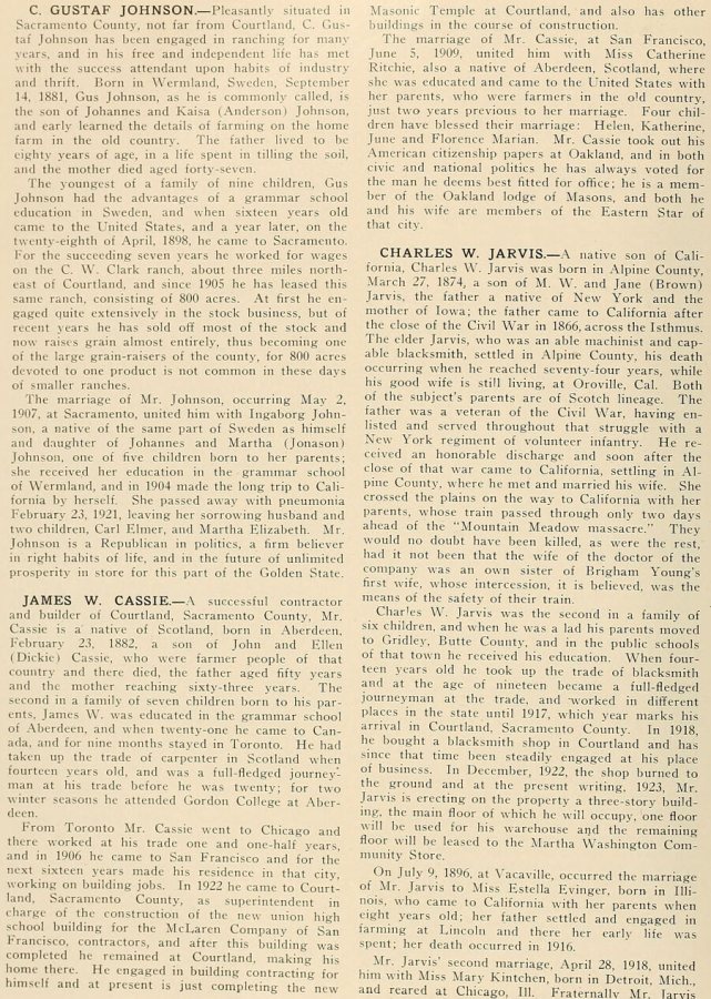
History of Sacramento County, California, with biographical sketches of the leading men and women of the county who have been identified with its growth and development from the early days to the present1923 · page 912Read the page →
Read the text
charge of the construction of the new union high .school building for the McLaren Company of San Francisco, contractors, and after this building was completed he remained at Courtland, making his home there. He engaged in building contracting for himself and at present is just completing the new Masonic Temple at Courtland, and also has other buildings in the course of construction.
Text read by machine from the scan; it may contain errors.
An illustrated history of Sacramento County, California1890 · page 224Read the page →
Read the text
in the town. The wharf was built by Captain Albert Foster; it is now owned by Louis Winters. December 24, 1879, a fire broke out in that portion of Courtland known as Chinatown, and temporarily destroyed the whole settlement. Onisbo was first settled by A. Runyou in 1849. A postoftice was established here in 1853, which was moved to Courtland in 1857.
Text read by machine from the scan; it may contain errors.
Scans and text from the Internet Archive. Books published in 1930 or earlier, which are in the public domain.
Founding dates: Wikidata, Wikipedia, the U.S. post office records of Blevins & Helbock (CC0) and the Census. Homes by year built: Census ACS 2020–24. National Register of Historic Places: National Park Service (list of May 22, 2026). Old photos, postcards and papers: Wikimedia Commons, the Library of Congress and other public archives, credited on each item’s page. Maps: U.S. Geological Survey historical topographic maps (via Esri) and Sanborn fire-insurance maps (Library of Congress). History text and census tables: Wikipedia (CC BY-SA 4.0). Places that used to be: USGS Geographic Names Information System (2021). How TownRatings grades history →
From Wikimedia Commons (12), U.S. Geological Survey historical maps, the US Post Offices dataset (Blevins & Helbock), the USGS Geographic Names Information System, Sanborn fire insurance maps (Library of Congress) and old county and town histories (Internet Archive). Archive images are copied here with their credits and licenses, shown on each photo’s page. Refreshed monthly.


 2023
 2020
 2020
 2020
 2017
 2016
 2016
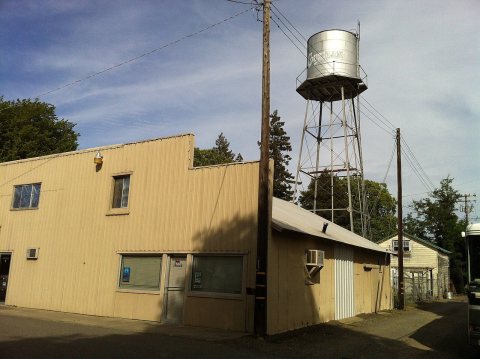 2014
 2014
 2014
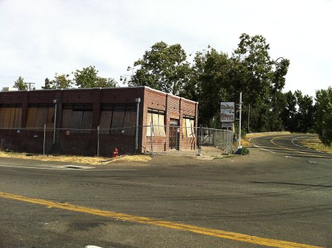 2014
 2014