174 years in pictures
Census counts: 1,288 in 1970, 6,268 in 2020. The archive holds 1 old photo or paper going back to 2022 and 2 maps from 1947 on.
1 place on the National Register of Historic Places.
- 1852Cottonwood is settled
Each edition grades its towns against each other only.

FEMA rates its natural-hazard risk higher than 97% of U.S. communities, with wildfire at the top. Overall it grades C, ranked 429th of 841 in California. Its weakest subject is cost of living: homes are expensive, about $363K for a typical one and 5 times the Redding metro’s $73K median household income. Cottonwood’s July high is 98°F, above both the California town median (89°F) and the median of U.S. towns (85°F). Cottonwood Historic District is on the National Register of Historic Places.
Where Cottonwood beats most towns, and one thing worth knowing.
3,316 counted in 2010 and 6,268 in 2020.
U.S. Census 2010 & 2020 counts
Each subject compared with towns across the country (schools within California), ordered by how far Cottonwood is from typical.
How TownRatings grades towns →
Census counts: 1,288 in 1970, 6,268 in 2020. The archive holds 1 old photo or paper going back to 2022 and 2 maps from 1947 on.
1 place on the National Register of Historic Places.
Cottonwood is unincorporated, so Shasta County and regional agencies provide most services.
EPA SDWIS (Oct 9, 2026) · HIFLD + EIA-861 2025 · Census 2020 ZCTAs · NCES 2024–25 · registration: vote.gov, updated Nov 18, 2024.
Ordered by what stands out in Cottonwood.
Cottonwood has hotter summers than nearly all U.S. towns, owes part of its health edge to its incomes and has commutes shorter than most of California.
FEMA National Risk Index · OpenFEMA
Its public schools are run by the Cottonwood Union Elementary school district. Two of its 4 schools are below, each with why it’s listed.
| School | Level | Students | Letter |
|---|---|---|---|
| North CottonwoodLargest public elementary schoolGrades K–4 | Grades K–4 | 498 | B |
| Cottonwood Creek CharterTop results in townGrades K–8 | Grades K–8 | 294 | A |
NCES · EDFacts · graded within CA on state tests and graduation
The average commute for its 2,007 working residents takes 22.2 minutes, against 28.7 across California.
Most working residents leave Cottonwood for work: only 7% work in town. Cottonwood’s average trip to work is 22 minutes. Jobs based in Cottonwood grew to 825 in 2023, 156 more than in 2013.
| Cottonwood | California towns | U.S. towns | |
|---|---|---|---|
| Average trip to work | 22 minutes | 28 minutes | 25 minutes |
| Median household income | $96,000 | $95,000 | $80,000 |
| Below the poverty line | 8.7% | 10% | 9.6% |
Census LEHD 2023 · ACS
12 miles of trail in 0 parks and preserves.
Trails & parks © OpenStreetMap contributors · Conserved land: USGS PAD-US
July afternoons average 98.2°, hotter than in 99% of U.S. towns; January nights average 39.1°.
Cottonwood has mild winters and hot summers. The January low in Cottonwood is 39°F. Snow is almost unheard of.
NOAA U.S. Climate Normals, 1991–2020
Against the 9,212 U.S. towns with household incomes like Cottonwood’s, it is less healthy than 69%: its national edge comes with its incomes.
Cottonwood beats the California average on 4 of 32 CDC measures and trails it on 11. 20% of Cottonwood adults report frequent mental distress.
| Cottonwood | California towns | U.S. towns | |
|---|---|---|---|
| Frequent mental distress (CDC PLACES) | 20% | 17% | 17% |
| Binge drink (CDC PLACES) | 18% | 16% | 16% |
| Depression (CDC PLACES) | 25% | 22% | 23% |
| Yearly checkup (CDC PLACES) | 73% | 72% | 79% |
| What stands out | Cottonwood | CA |
|---|---|---|
| Fewer uninsured adults | 7.3% | 10.6% |
| Fewer adults facing food insecurity | 14.4% | 17.9% |
| More adults with COPD | 7.5% | 5.1% |
CDC PLACES 2025 · modeled estimates for adults · CMS · HRSA
Museums, parks, gardens and other places to visit around Cottonwood. Close and well known come first.
37 mi National ParkLassen Volcanic National Park505K visitors a year
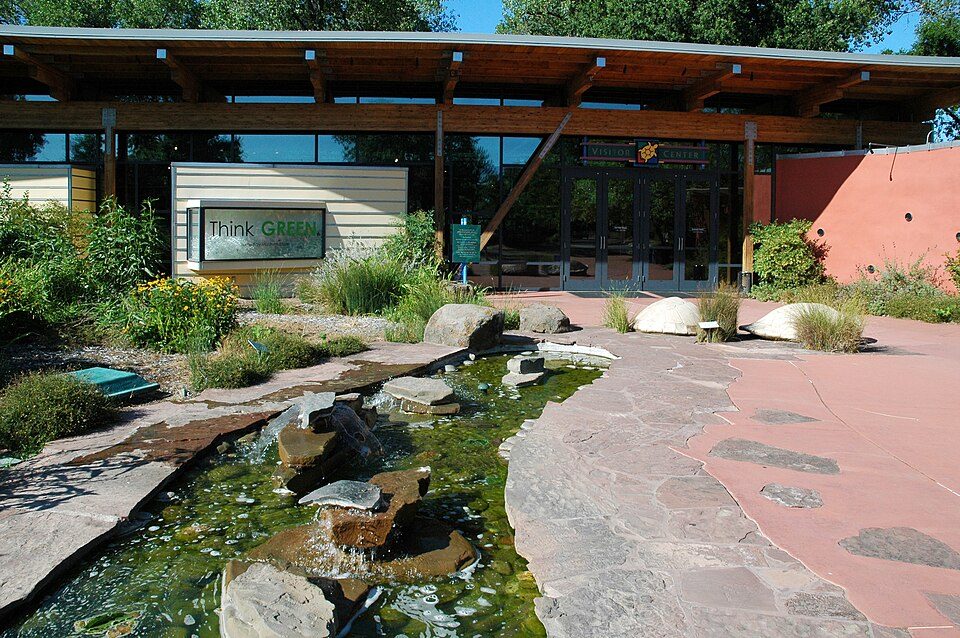
14 mi MuseumTurtle Bay Exploration Park
14 mi TheatreCascade Theatre
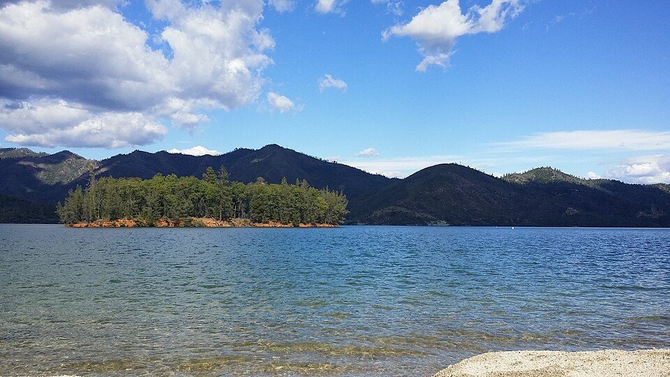
15 mi National Recreation AreaWhiskeytown-Shasta-Trinity National Recreation Area764K visitors a year
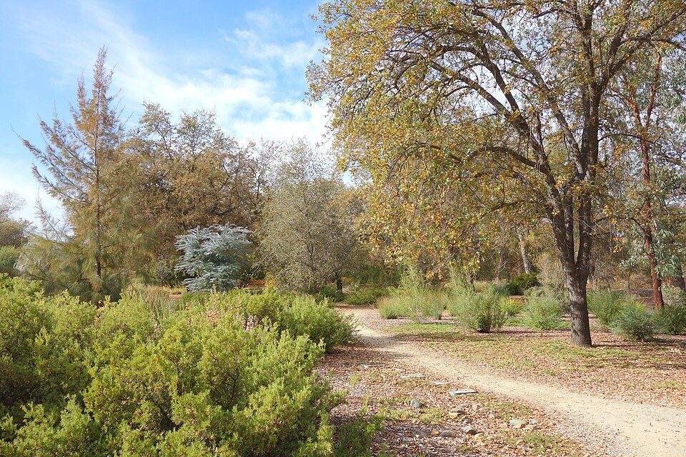
15 mi GardenMcConnell Arboretum & Botanical GardensLassen Volcanic National Park: en:User:Mav, CC BY-SA 3.0 · Turtle Bay Exploration Park: DimiTalen, CC BY-SA 3.0 · Cascade Theatre: Publichall, CC BY-SA 3.0 · Whiskeytown-Shasta-Trinity National Recreation Area: RoyalMayfair, CC BY-SA 4.0 · McConnell Arboretum & Botanical Gardens: Daderot, CC0
1 within 15 miles of the center of Cottonwood
About 3 of every 100 Cottonwood residents are enrolled in college, against 8 across California.
Where Cottonwood’s working residents go each day. Line width shows the share.
Census LEHD 2023
Census-designated place in the United States
Cottonwood is a census-designated place (CDP) in Shasta County, California, United States. Its population is 6,268 as of the 2020 census, up from 3,316 from the 2010 census. Cottonwood was a stagecoach town where a settlement was established in 1849. The first Post Office was opened in 1852. Cottonwood is equidistant between Redding and Red Bluff, 15 miles (24 km) in either direction. It is 4 miles (6.4 km) south of Anderson.
From Wikipedia, licensed CC BY-SA 4.0 · facts via Wikidata (CC0)
Short answers, built from the data on this page.
Cottonwood grades C overall, better than 26% of U.S. towns and #429 of 841 in California. It grades B− for health and B+ for schools. Hazard risk is its weak spot, with a D−.
Yes. Cost of living, which also weighs rents, property taxes and how many households pay 30% or more of their income for housing, grades C−.