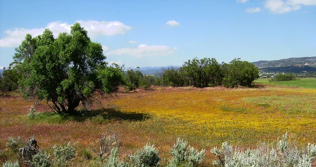
AnzaCaliforniaField2, 2005
Anza’s story
100 years in pictures
The archive holds 6 old photos and papers going back to 2005 and 4 maps from 1940 on.
- 1926Anza is settled
Each edition grades its towns against each other only.
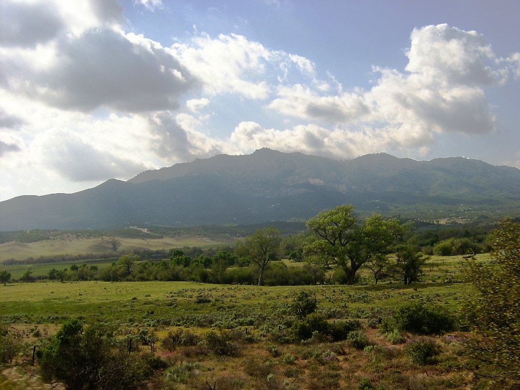
A town of 1,898, settled in 1926.
Anza’s weakest subject grade is a D− for hazard risk. On hazard risk, just 1 of California’s 1,064 towns do worse. Most errands need a car: it is less walkable than 92% of U.S. towns. Only 72 of California’s 1,058 towns score higher on cost of living. Anza’s trail density is 3.7 miles per square mile, above both California’s towns (1.0) and U.S. towns (0.4). On history, just 21 of California’s 1,063 towns do worse. San Bernardino National Forest, at 813 acres with 3.3 miles of trail, is the biggest park or preserve. Anza has fewer than 2,500 residents, so it gets subject grades but no overall grade.
Where Anza’s working residents go each day. Line width shows the share.
Census LEHD 2023
Each subject compared with towns across the country (schools within California), ordered by how far Anza is from typical.
How TownRatings grades towns →
The archive holds 6 old photos and papers going back to 2005 and 4 maps from 1940 on.
Anza is unincorporated, so Riverside County and regional agencies provide most services.
EPA SDWIS (Oct 9, 2026) · HIFLD + EIA-861 2025 · Census 2020 ZCTAs · NCES 2024–25 · registration: vote.gov, updated Nov 18, 2024.
Ordered by what stands out in Anza.
At 100 of 100, Anza’s FEMA risk score is above both the California town median (88 of 100) and the median of U.S. towns (44 of 100).
FEMA National Risk Index · OpenFEMA
Its public schools are run by the Hemet Unified school district. Its two schools are below. The largest public high school is Hamilton, with 450 students.
| School | Level | Students | Letter |
|---|---|---|---|
| Hamilton ElementaryLargest public elementary schoolGrades K–5 | Grades K–5 | 360 | – |
| HamiltonLargest public high schoolGrades 6–12 | Grades 6–12 | 450 | B |
NCES · EDFacts · graded within CA on state tests and graduation
The typical Anza home is worth about $395,000, down 1.8% in a year, 48% below the California typical home. Anza’s median rent is $1,580 a month.
| Anza | California towns | U.S. towns | |
|---|---|---|---|
| Households that own their home | 79% | 64% | 73% |
| Median rent | $1,580 a month | $1,896 a month | $1,185 a month |
Census ACS, 2020–24 · Zillow Home Value Index · Redfin Data Center
Most working residents leave Anza for work: only 7% work in town. The average trip to work in Anza is 34 minutes. Since 2013, Anza has added 125 jobs, to 402 in 2023.
| Anza | California towns | U.S. towns | |
|---|---|---|---|
| Average trip to work | 34 minutes | 28 minutes | 25 minutes |
| Below the poverty line | 11% | 10% | 9.6% |
Census LEHD 2023 · ACS
Anza beats the California average on 3 of 32 CDC measures and trails it on 13. 17% of Anza adults report frequent physical distress.
| Anza | California towns | U.S. towns | |
|---|---|---|---|
| Frequent physical distress (CDC PLACES) | 17% | 14% | 14% |
| High blood pressure (CDC PLACES) | 39% | 31% | 35% |
| Binge drink (CDC PLACES) | 14% | 16% | 16% |
| Diabetes (CDC PLACES) | 14% | 12% | 12% |
| What stands out | Anza | CA |
|---|---|---|
| More adults screened for colon cancer | 62.1% | 57.5% |
| More adults treating high blood pressure | 75.1% | 71.3% |
| More adults with COPD | 7.9% | 5.1% |
CDC PLACES 2025 · modeled estimates for adults · CMS · HRSA
Anza has mild winters and warm summers, with very little rain. July afternoons reach 90°, January nights drop to 36° and about 26 inches of snow falls in a winter.
NOAA U.S. Climate Normals, 1991–2020
102 miles of trail in 2 parks and preserves.
| Biggest places to walk | Trails | Acres |
|---|---|---|
| 1. San Bernardino National Forest | 3.3 mi | 813 |
| 2. Minor Park | 0.2 mi | 8 |
Trails & parks © OpenStreetMap contributors · Conserved land: USGS PAD-US
Museums, parks, gardens and other places to visit around Anza. Close and well known come first.
 Big draw31 mi National ParkJoshua Tree National Park2.9M visitors a year
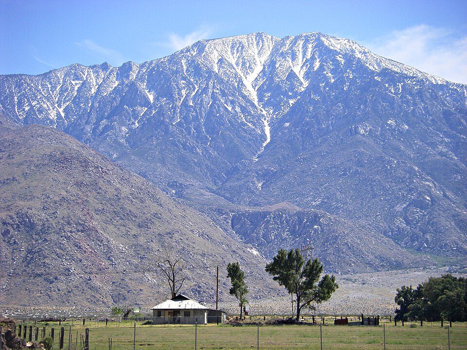 18 mi MountainSan Jacinto Peak
 26 mi Stadium & arenaAcrisure Arena
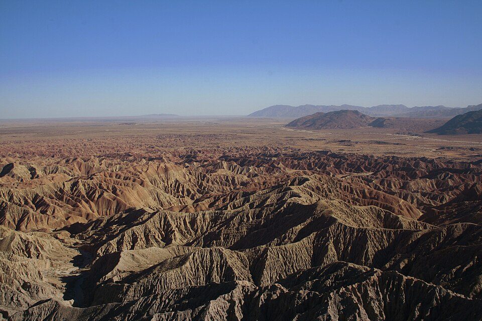 27 mi State parkAnza-Borrego Desert State Park
 38 mi MountainSan Gorgonio Mountain
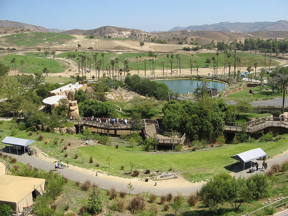 37 mi Zoo & aquariumSan Diego Zoo Safari Park
Joshua Tree National Park: Sergiy Galyonkin, CC BY-SA 4.0 · San Jacinto Peak: Wattewyl, CC BY 3.0 · Acrisure Arena: TheAHL, CC BY 2.0 · Anza-Borrego Desert State Park: No machine-readable author provided. Miskatonic assumed (based on copyright clai, CC BY 2.5 · San Gorgonio Mountain: Doc Searls, CC BY-SA 2.0 · San Diego Zoo Safari Park: Flickr user: Olivier Bruchez https://www.flickr.com/photos/bruchez/, CC BY-SA 2.0
None within 15 miles of Anza; the nearest are
About 3 of every 100 Anza residents are enrolled in college, against 8 across California.
Census-designated place in California, United States
Anza is a census-designated place in Riverside County, California, in the Anza Valley, a semi-arid region at a mean elevation of 3,921 feet (1,195 m) above sea level. It is located 13 miles (21 km) south of Idyllwild, 32 miles (51 km) east-northeast of Temecula, 40 miles (64 km) southwest of Palm Springs, and 90 miles (140 km) northeast of San Diego, being traversed by State Route 371. Anza is on the Pacific Crest Trail and the Juan Bautista de Anza National Historic Trail. The population was 3,075 at the 2020 census. Locally, Anza and several other mountain communities (including Garner Valley, Idyllwild, Pinyon Pines and Aguanga) are collectively referred to as "the Hill." The ZIP code is…
From Wikipedia, licensed CC BY-SA 4.0 · facts via Wikidata (CC0)
Short answers, built from the data on this page.
That is 4.4 years of the area's median household income ($89,662 across the Riverside-San Bernardino-Ontario, CA metro area). Cost of living, which also weighs rents, property taxes and how many households pay 30% or more of their income for housing, grades C+.


