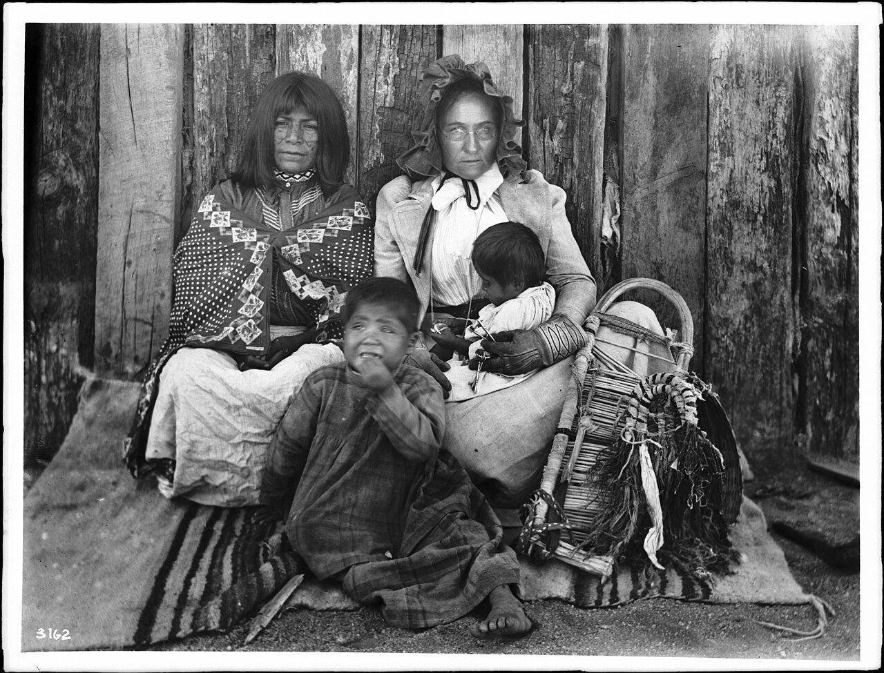
Hackberry in pictures
The archive holds 6 old photos and papers going back to 1900 and a map from 1968 on.
Explore the history →Each edition grades its towns against each other only.

The town has 338 residents and lies in Arizona.
Hackberry’s mean commuting time is 34 minutes, above both the Arizona town median (24 minutes) and the median of U.S. towns (25 minutes). Among 141 Arizona towns, just 9 have a higher home-ownership rate than Hackberry. 31% of the land in Hackberry is conserved, above both the Arizona town median (14%) and the median of U.S. towns (4.3%). Hackberry has fewer than 1,000 residents, too few for fair grades; the figures below are still real.
In a town this size, neighbors are the best guide. Ask them anything.
The archive holds 6 old photos and papers going back to 1900 and a map from 1968 on.
Explore the history →Hackberry is unincorporated, so Mohave County and regional agencies provide most services.
EPA SDWIS (Oct 9, 2026) · HIFLD + EIA-861 2025 · Census 2020 ZCTAs · NCES 2024–25 · registration: vote.gov, updated Sep 12, 2025.
Ordered by what stands out in Hackberry.
24 miles of trail. Hackberry’s trail network density comes in at 1.4 miles per square mile.
Trails & parks © OpenStreetMap contributors · Conserved land: USGS PAD-US
Expected storm and flood damage is higher than in four fifths of U.S. communities. Nearly half of Hackberry’s expected losses from natural hazards come from wildfires, followed by inland flooding at 41%.
FEMA National Risk Index · OpenFEMA
July afternoons reach 97° and January nights drop to 32°.
NOAA U.S. Climate Normals, 1991–2020
The share of adults in Hackberry who binge drink: 11%. Of 32 CDC measures, Hackberry beats the Arizona average on 12 and trails it on 9. Two figures for adults in the town: 25% feel lonely, 12% report frequent mental distress. Among 141 Arizona towns, just 5 have a higher share of adults who have high blood pressure than Hackberry.
| Hackberry | Arizona towns | U.S. towns | |
|---|---|---|---|
| High blood pressure (CDC PLACES) | 50% | 36% | 35% |
| Feel lonely (CDC PLACES) | 25% | 31% | 33% |
| Frequent mental distress (CDC PLACES) | 12% | 16% | 17% |
| Binge drink (CDC PLACES) | 11% | 14% | 16% |
| What stands out | Hackberry | AZ |
|---|---|---|
| Fewer adults facing housing insecurity | 6.5% | 12% |
| Fewer uninsured adults | 7.2% | 13.2% |
| More adults who have had cancer | 16.8% | 8.8% |
CDC PLACES 2025 · modeled estimates for adults · CMS · HRSA
None within 15 miles of Hackberry; the nearest are
About 2 of every 100 Hackberry residents are enrolled in college, against 6 across Arizona.
Unincorporated community in the state of Arizona, United States
Hackberry is an unincorporated community and census-designated place (CDP) in Mohave County, Arizona, United States. It is located on State Route 66 (former U.S. Route 66), 28 miles (45 km) northeast of Kingman. Hackberry once had a post office; as of 2015, the US Postal Service served 68 residential mailboxes in the town with ZIP code 86411. As of the 2020 census, Hackberry had a population of 103.
From Wikipedia, licensed CC BY-SA 4.0 · facts via Wikidata (CC0)
Short answers, built from the data on this page.
Hackberry has fewer than 1,000 residents, too few for fair grades; the figures below are still real.