
Worlds End State Park
Worlds End State Park is a 780-acre (316 ha) Pennsylvania state park. It is in Forks Township. Its operator is Pennsylvania Department of Conservation and Natural Resources.

A state park inside Forks Township
Winters are cold
January nights drop to 15°, with about 70" of snow a year. When to go ↓
Hillsgrove Township is the nearest base
Hillsgrove Township is 6 miles west, with 5 places to stay. Where to stay ↓
Best months: May, Jun, Jul, Aug and Sep
May, June, July, August and September are the mild months, with highs of 67–79°. When to go ↓
Established in 1932
Worlds End State Park dates from 1932 and is run by Pennsylvania Department of Conservation and Natural Resources. About ↓
Written from NOAA 1991–2020 normals, Overture places to stay, Census town figures, Wikidata and Wikipedia.
The weather by month
The months below show the weather around Worlds End.
Worlds End State Park
Worlds End State Park is a 780-acre (316 ha) Pennsylvania state park in Sullivan County, Pennsylvania. The park, nearly surrounded by Loyalsock State Forest, is in the Loyalsock Creek valley on Pennsylvania Route 154 in Forks and Shrewsbury Townships southeast of the borough of Forksville. The name Worlds End has been used since at least 1872, but its origins are uncertain. Although it was founded as Worlds End State Forest Park by Governor Gifford Pinchot in 1932, the park was officially known as Whirls End State Forest Park from 1936 to 1943.
- Type
- State park
- Established
- 1932
- Area
- 781 acres
- Elevation
- 1,175 ft
- Run by
- Pennsylvania Department of Conservation and Natural Resources
- Wikipedia readers
- 6.2K a year
Lodging near Worlds End State Park
To stay close, try Hillsgrove Township (5) and Cherry Township (3).
Compare 8 towns
| Town | From Worlds End | Drive | Places to stay | People | Typical home |
|---|---|---|---|---|---|
| Forks Township 56% vacation homes | in town | — | 2 1 inn or B&B · 1 campground | 371 | $200K |
| Hillsgrove Township 53% vacation homes | 6 mi west | 10 min | 5 1 hotel · 1 inn or B&B · 3 campgrounds | 229 | $133K |
| Eagles Mere 86% vacation homes | 4 mi south | 5 min | 2 2 inns & B&Bs | 153 | $483K |
| Cherry Township 34% vacation homes | 9 mi east | 15 min | 3 1 motel · 1 inn or B&B · 1 lodge or cabins | 1,494 | $180K |
| Dushore | 10 mi northeast | 15 min | 3 2 hotels · 1 inn or B&B | 452 | $127K |
| Sugarloaf Township 25% vacation homes | 17 mi southeast | 25 min | 8 2 hotels · 1 inn or B&B · 3 lodges & cabins · 2 campgrounds | 896 | $223K |
| Fairmount Township | 20 mi southeast | 30 min | 8 2 hotels · 2 inns & B&Bs · 4 campgrounds | 1,240 | $258K |
| Forksville 21% vacation homes | 2 mi northwest | 5 min | 1 1 campground | 108 | $135K |
Getting there
Nearest airports with airline service
Make a day of it near Worlds End
Each of these is within 69 miles.
 118 mi State parkRicketts Glen State Park
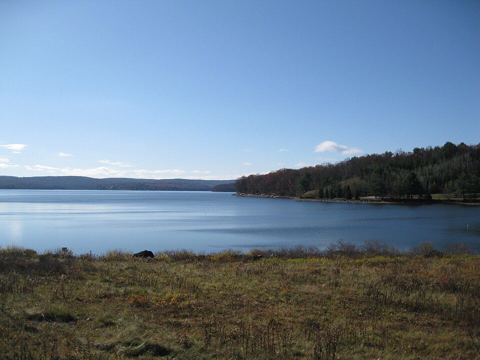 69 mi LakeLake Wallenpaupack
 47 mi National Historic SiteSteamtown National Historic Site61K visitors a year
 64 mi State parkWatkins Glen State Park
 53 mi MuseumCorning Museum of Glass400K visitors a year
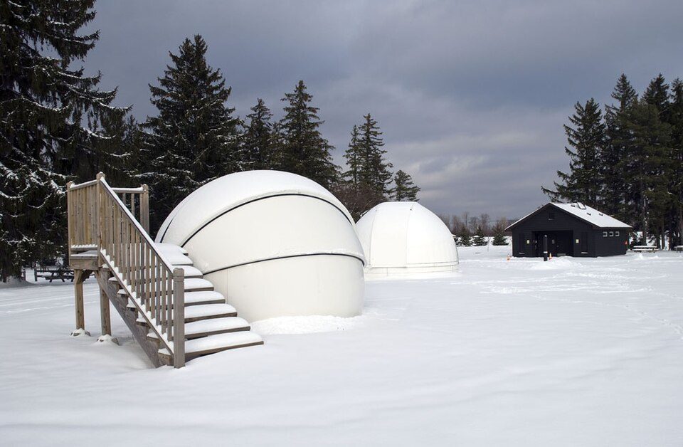 66 mi State parkCherry Springs State Park
 67 mi Stadium & arenaSchoellkopf Field
Photo credits
Ricketts Glen State Park: en:User:Msitler, Public domain · Lake Wallenpaupack: Doug Kerr from Albany, NY, United States, CC BY-SA 2.0 · Steamtown National Historic Site: National Park Service, Public domain · Watkins Glen State Park: Flickr user: Peter Rivera Stamford, Connecticut https://www.flickr.com/people/ri, CC BY 2.0 · Corning Museum of Glass: User:Stilfehler, CC BY-SA 3.0 · Cherry Springs State Park: Curt Weinhold, CC BY-SA 3.0 · Schoellkopf Field: Alex Sergeev, (www.asergeev.com) Originally uploaded by en:User:Cornell010, CC BY-SA 3.0


Your questions on Worlds End
Is Worlds End State Park in Forks Township?
Yes. It’s inside Forks Township, PA.
When is the best time to visit Worlds End State Park?
May, June, July, August and September, with highs of 67–79°.
What is the closest airport to Worlds End State Park?
Williamsport Regional (IPT), about 24 miles away. The nearest big hub is Syracuse Hancock (SYR), about 116 miles.
Where should I stay near Worlds End State Park?
Hillsgrove Township (6 mi, 5 places to stay), Cherry Township (9 mi, 3 places to stay) and Dushore (10 mi, 3 places to stay).
Notes from people in Forks Township
No one has shared advice yet; Forks Township’s Town Square takes questions.
Sources: National Park Service · ski areas © OpenSkiMap / OpenStreetMap contributors · Wikidata · Wikipedia readership · NOAA climate normals · U.S. Census.