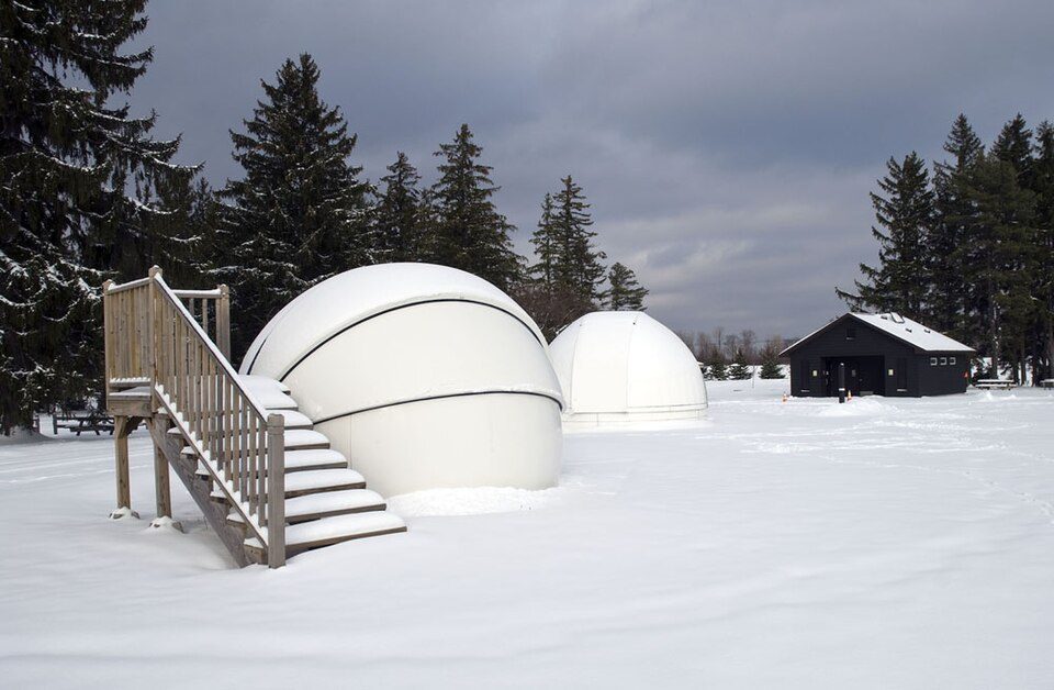
Cherry Springs State Park
Cherry Springs State Park is an 82-acre (33 ha)[a] Pennsylvania state park. The town it belongs to is West Branch Township. Its story as a place to visit starts in 1922.

A state park inside West Branch Township
Winters are cold
January nights drop to 15°, with about 78" of snow a year. When to go ↓
Coudersport is the nearest base
Coudersport is 13 miles northwest, with 5 places to stay. Where to stay ↓
Best months: May, Jun, Jul, Aug and Sep
May, June, July, August and September are the mild months, with highs of 69–80°. When to go ↓
Established in 1922
Cherry Springs State Park dates from 1922. About ↓
Written from NOAA 1991–2020 normals, Overture places to stay, Census town figures, Wikidata and Wikipedia.
Warm months and cold ones
Use the months below to time a visit to Cherry Springs.
Cherry Springs State Park
Cherry Springs State Park is an 82-acre (33 ha)[a] Pennsylvania state park in Potter County, Pennsylvania, United States. The park was created from land within the Susquehannock State Forest, and is on Pennsylvania Route 44 in West Branch Township. Cherry Springs, named for a large stand of Black Cherry trees in the park, is atop the dissected Allegheny Plateau at an elevation of 2,300 feet (701 m). It is popular with astronomers and stargazers for having "some of the darkest night skies on the east coast" of the United States, and was chosen by the Pennsylvania Department of Conservation and Natural Resources (DCNR) and its Bureau of Parks as one of "25 Must-See Pennsylvania State Parks".
- Type
- State park
- Established
- 1922
- Area
- 82 acres
- Listed
- International Dark Sky Park (2008)
- Wikipedia readers
- 12K a year
Where to stay near Cherry Springs State Park
Nearest for a night are Gaines Township (9) and Sweden Township (4).
Compare 8 towns
| Town | From Cherry Springs | Drive | Places to stay | People | Typical home |
|---|---|---|---|---|---|
| West Branch Township 73% vacation homes | in town | — | 1 1 lodge or cabins | 394 | $235K |
| Gaines Township 59% vacation homes | 15 mi northeast | 20 min | 9 1 inn or B&B · 2 lodges & cabins · 4 campgrounds · 2 RV parks | 596 | $189K |
| Sweden Township 42% vacation homes | 9 mi northwest | 15 min | 4 1 hotel · 2 lodges & cabins · 1 campground | 839 | $225K |
| Coudersport | 13 mi northwest | 20 min | 5 1 hotel · 1 motel · 3 inns & B&Bs | 2,281 | $130K |
| Galeton | 11 mi northeast | 15 min | 3 2 hotels · 1 campground | 947 | $105K |
| Shippen Township 51% vacation homes | 20 mi east | 30 min | 9 1 motel · 1 inn or B&B · 3 lodges & cabins · 3 campgrounds · 1 RV park | 490 | $218K |
| Pike Township 45% vacation homes | 11 mi northeast | 15 min | 2 1 hotel · 1 motel | 326 | $180K |
| Ulysses Township 56% vacation homes | 12 mi north | 20 min | 2 1 motel · 1 lodge or cabins | 636 | $157K |
Getting there
Nearest airports with airline service
Nearby, too
Every place here is under 70 miles away.
 Big draw59 mi Stadium & arenaBeaver Stadium
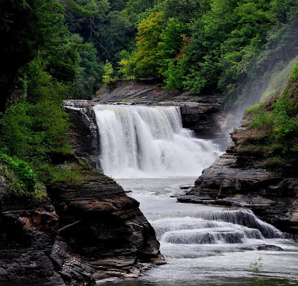 68 mi State parkLetchworth State Park
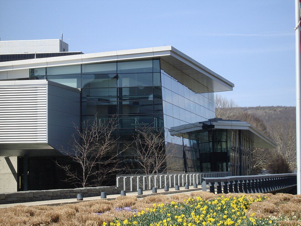 52 mi MuseumCorning Museum of Glass400K visitors a year
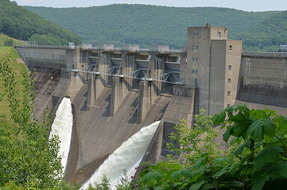 62 mi DamKinzua Dam
 69 mi State parkWatkins Glen State Park
 40 mi State parkKinzua Bridge State Park
 62 mi National forestAllegheny National Forest
 59 mi Stadium & arenaBryce Jordan Center
Photo credits
Beaver Stadium: Sbvr6 (talk), CC BY-SA 3.0 · Letchworth State Park: Suandsoe, CC BY-SA 3.0 · Corning Museum of Glass: User:Stilfehler, CC BY-SA 3.0 · Kinzua Dam: Niagara, CC BY-SA 3.0 · Watkins Glen State Park: Flickr user: Peter Rivera Stamford, Connecticut https://www.flickr.com/people/ri, CC BY 2.0 · Kinzua Bridge State Park: Nicholas from Pennsylvania, USA, CC BY 2.0 · Allegheny National Forest: IvoShandor, CC BY 2.5 · Bryce Jordan Center: Robert J. La Verghetta, CC BY-SA 3.0


Quick answers on Cherry Springs
Is Cherry Springs State Park in West Branch Township?
Yes. It’s inside West Branch Township, PA.
When is the best time to visit Cherry Springs State Park?
May, June, July, August and September, with highs of 69–80°.
What is the closest airport to Cherry Springs State Park?
Bradford Regional (BFD), about 43 miles away. The nearest big hub is Buffalo Niagara (BUF), about 100 miles.
Where should I stay near Cherry Springs State Park?
Gaines Township (15 mi, 9 places to stay), Sweden Township (9 mi, 4 places to stay) and Coudersport (13 mi, 5 places to stay).
Tips for visiting, from West Branch Township
Share what you know in West Branch Township’s Town Square.
Sources: National Park Service · ski areas © OpenSkiMap / OpenStreetMap contributors · Wikidata · Wikipedia readership · NOAA climate normals · U.S. Census.