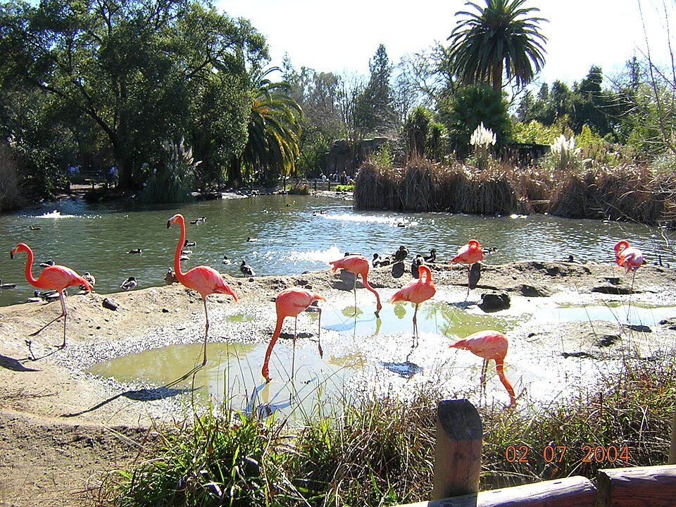
William Land Park
William Land Park, frequently referred to as simply "Land Park" is a major city park in Sacramento, California. Worth the trip, Sutter's Fort is 2.7 mi off. The best weather comes with March, April, May, October and November, at 66–81°F.

A garden inside Sacramento
Summers are hot
July and August highs run 93–94°, and about 76 days a year reach 90°. When to go ↓
You can stay in Sacramento
William Land Park is inside Sacramento, which has 125 places to stay, so you won’t need a base farther out. Where to stay ↓
Best months: Mar, Apr, May, Oct and Nov
March, April, May, October and November are the mild months, with highs of 66–81°. When to go ↓
An airport 12 miles away
Sacramento (SMF) has airline service, about 12 miles from William Land Park.
Written from NOAA 1991–2020 normals, Overture places to stay, Census town figures and Wikipedia.
Picking a season
The weather near William Land Park shifts through the year, as below.
William Land Park
William Land Park, frequently referred to as simply "Land Park" is a major city park in Sacramento, California. The park is located between Interstate 5 and State Route 160.
William Land was a pioneer who built the Western Hotel at the NE corner of 2nd and K St in 1875 (California Historical Landmark #601). There is an elementary school named after him. He is buried in a Greek temple mausoleum within East Lawn Memorial Park in Sacramento. William Land was a founder of the East Lawn Memorial.
- Type
- Garden
- Wikipedia readers
- 3.3K a year
Where to sleep near William Land Park
The closest towns with hotels, motels or campgrounds are Sacramento (125) and West Sacramento (33).
- 1Sutter's Fort
- 2ARCO Arena
- 3Governor's Mansion State Historic Park
- 4Hornet Stadium
- 5California State Railroad Museum
- 6Leland Stanford Mansion State Historic Park
Compare 8 towns
| Town | From William Land Park | Drive | Places to stay | People | Typical home | Safety |
|---|---|---|---|---|---|---|
| Sacramento | in town | — | 125 98 hotels · 13 motels · 4 inns & B&Bs · 2 lodges & cabins · 2 hostels · 3 campgrounds · 3 RV parks | 536,449 | $506K | D |
| West Sacramento | 3 mi west | 5 min | 33 11 hotels · 13 motels · 2 inns & B&Bs · 2 lodges & cabins · 2 campgrounds · 3 RV parks | 56,216 | $526K | C+ |
| Davis | 13 mi west | 20 min | 20 19 hotels · 1 inn or B&B | 66,110 | $866K | C |
| Arden-Arcade | 7 mi northeast | 10 min | 10 6 hotels · 2 motels · 1 campground · 1 RV park | 94,994 | $560K | — |
| Rancho Cordova | 14 mi east | 20 min | 22 19 hotels · 2 motels · 1 campground | 87,554 | $478K | C− |
| North Highlands | 11 mi northeast | 15 min | 11 7 hotels · 2 motels · 2 RV parks | 47,957 | $368K | — |
| Woodland | 16 mi northwest | 25 min | 18 11 hotels · 2 motels · 2 inns & B&Bs · 2 lodges & cabins · 1 RV park | 62,513 | $548K | C |
| Roseville | 19 mi northeast | 30 min | 23 20 hotels · 1 motel · 1 lodge or cabins · 1 campground | 167,302 | $661K | C+ |
Day trip from
Straight-line miles.
Getting there
Nearest airports with airline service
Places to add to William Land Park
Also within 69 miles are these.
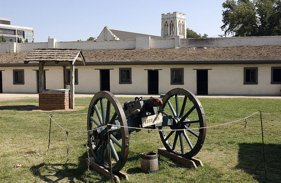 13 mi State parkSutter's Fort
 Big draw69 mi MuseumUSS Hornet
 28 mi Stadium & arenaARCO Arena
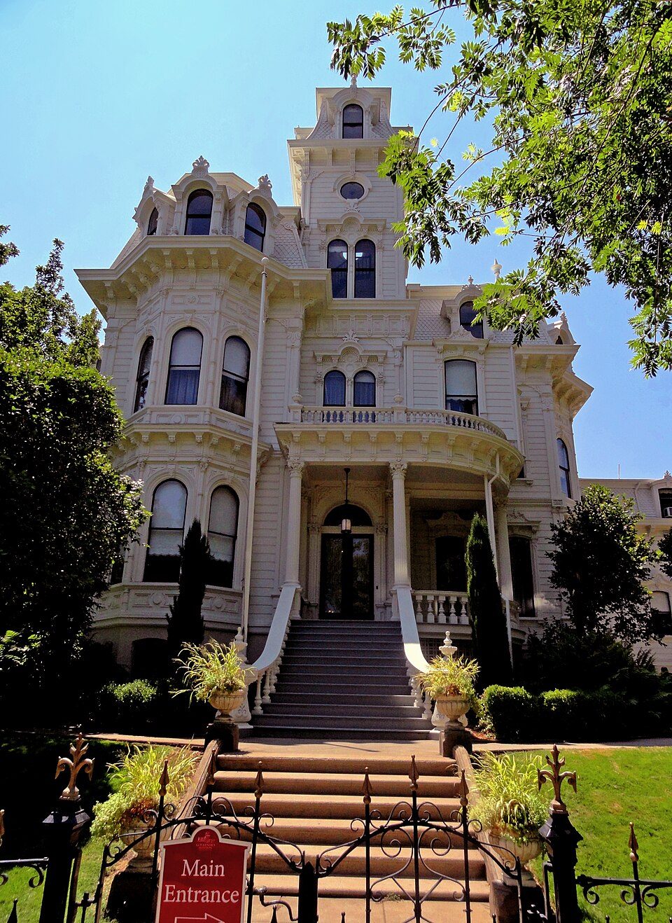 33 mi State parkGovernor's Mansion State Historic Park
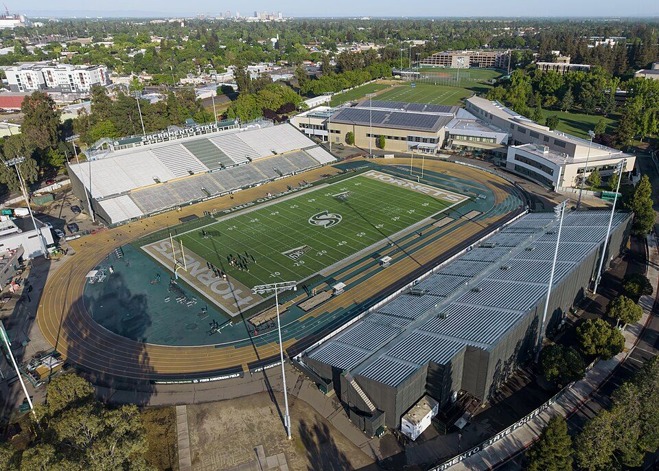 44 mi Stadium & arenaHornet Stadium
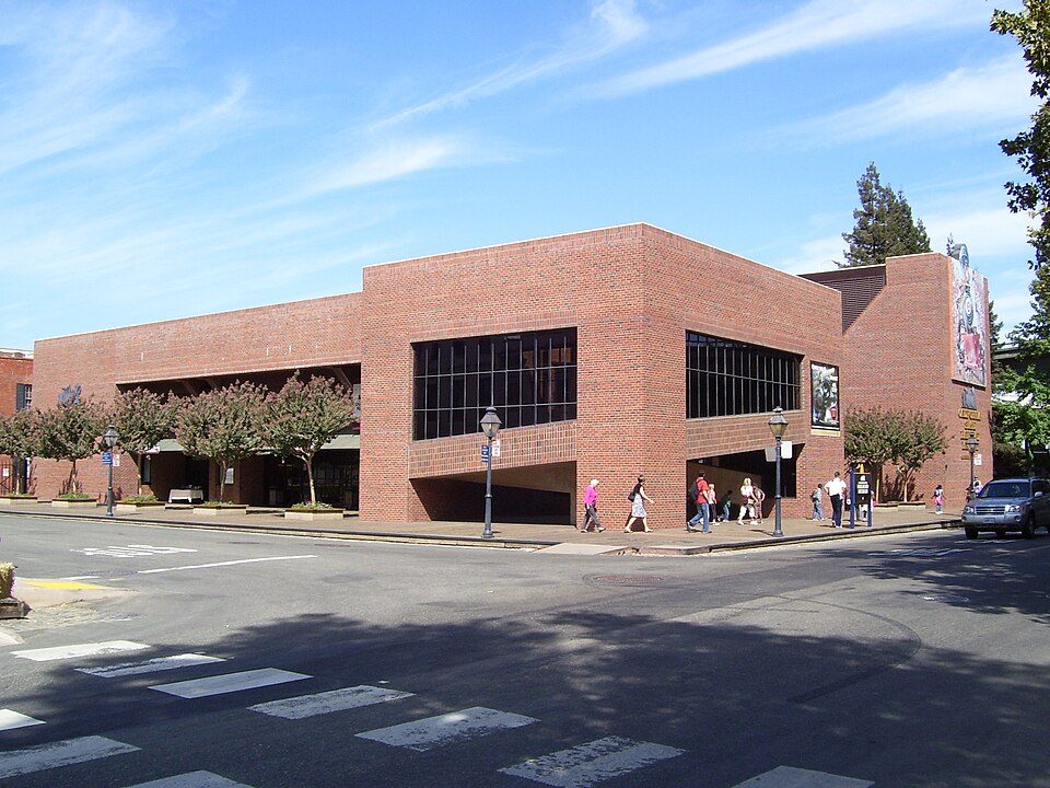 53 mi MuseumCalifornia State Railroad Museum500K visitors a year
 62 mi State parkLeland Stanford Mansion State Historic Park
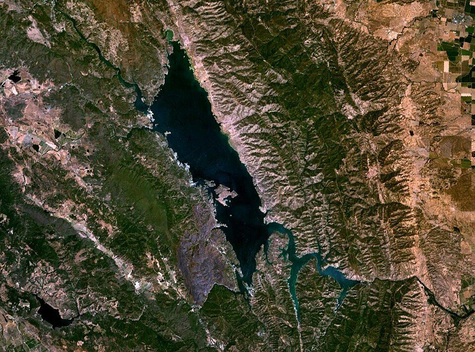 40 mi LakeLake Berryessa
Photo credits
Sutter's Fort: Ian Howard, CC BY 2.5 · USS Hornet: kitmasterbloke, CC BY 2.0 · ARCO Arena: CLopez63, CC BY-SA 3.0 · Governor's Mansion State Historic Park: Mark James Miller, CC BY 3.0 · Hornet Stadium: Quintin Soloviev, CC BY 4.0 · California State Railroad Museum: The original uploader was Swampyank at English Wikipedia., CC BY-SA 3.0 · Leland Stanford Mansion State Historic Park: M.Mierzwa. MCalamari at en.wikipedia, Public domain · Lake Berryessa: Unknown, Public domain


What people ask about William Land Park
Is William Land Park in Sacramento?
Yes. It’s inside Sacramento, CA.
When is the best time to visit William Land Park?
March, April, May, October and November, with highs of 66–81°.
How far is William Land Park from Stockton and Oakland?
About 40 miles south of Stockton and about 66 miles southwest of Oakland, as the crow flies.
What is the closest airport to William Land Park?
Sacramento (SMF), about 12 miles away.
Where should I stay near William Land Park?
Sacramento (in town, 125 places to stay), West Sacramento (3 mi, 33 places to stay) and Davis (13 mi, 20 places to stay).
Notes from people in Sacramento
No one has shared advice yet; Sacramento’s Town Square takes questions.
Sources: National Park Service · ski areas © OpenSkiMap / OpenStreetMap contributors · Wikidata · Wikipedia readership · NOAA climate normals · U.S. Census.