Wabash and Erie Canal
The Wabash and Erie Canal was a shipping canal that linked the Great Lakes to the Ohio River via an artificial waterway. Visitors find it in Deer Creek Township. A drive of 17 mi reaches Ross–Ade Stadium.
A landmark inside Deer Creek Township
Winters are cold
January nights drop to 18°, with about 17" of snow a year. When to go ↓
Union Township is the nearest base
Union Township is 12 miles northwest, with 24 places to stay. Where to stay ↓
A day trip from Indianapolis
Indianapolis is about 63 miles southeast (straight-line). Where to stay ↓
Best months: May, Jun, Aug, Sep and Oct
May, June, August, September and October are the mild months, with highs of 65–83°. When to go ↓
Written from NOAA 1991–2020 normals, Overture places to stay, Census town figures and Wikipedia.
Picking a season
Here is how the weather at Wabash and Erie Canal changes month by month.
Wabash and Erie Canal
The Wabash and Erie Canal was a shipping canal that linked the Great Lakes to the Ohio River via an artificial waterway. Over 460 miles long, it was the longest canal ever built in North America.
The canal known as the Wabash & Erie in the 1850s and thereafter, was actually a combination of four canals: the Miami and Erie Canal from the Maumee River near Toledo, Ohio, to Junction, Ohio, the original Wabash and Erie Canal from Junction to Terre Haute, Indiana, the Cross Cut Canal from Terre Haute, Indiana, to Worthington, Indiana (Point Commerce), and the Central Canal from Worthington to Evansville, Indiana.
- Type
- Landmark
- Wikipedia readers
- 16K a year
Bases for Wabash and Erie Canal
Places to stay start in Deer Creek Township (3) and Union Township (24).
Compare 8 towns
| Town | From Wabash and Erie Canal | Drive | Places to stay | People | Typical home | Safety |
|---|---|---|---|---|---|---|
| Deer Creek Township | in town | — | 3 2 hotels · 1 inn or B&B | 4,651 | $155K | — |
| Delphi | in town | — | 2 1 hotel · 1 inn or B&B | 2,973 | $141K | — |
| Union Township | 12 mi northwest | 20 min | 24 14 hotels · 1 inn or B&B · 5 lodges & cabins · 3 campgrounds · 1 RV park | 10,065 | $188K | — |
| Fairfield Township | 14 mi southwest | 20 min | 31 27 hotels · 1 motel · 2 inns & B&Bs · 1 campground | 53,541 | $170K | — |
| Lafayette | 16 mi southwest | 25 min | 31 27 hotels · 1 motel · 2 inns & B&Bs · 1 campground | 71,238 | $173K | C− |
| Jefferson Township 34% vacation homes | 7 mi north | 10 min | 3 1 campground · 2 RV parks | 2,291 | $197K | — |
| Liberty Township 44% vacation homes | 18 mi north | 25 min | 10 1 hotel · 1 inn or B&B · 3 lodges & cabins · 4 campgrounds · 1 RV park | 2,082 | $168K | — |
| West Lafayette | 16 mi southwest | 25 min | 7 7 hotels | 45,747 | $350K | B |
Day trip from
Straight-line miles.
Getting there
Nearest airports with airline service
What else is near Wabash and Erie Canal
These well-known places are within 64 miles.
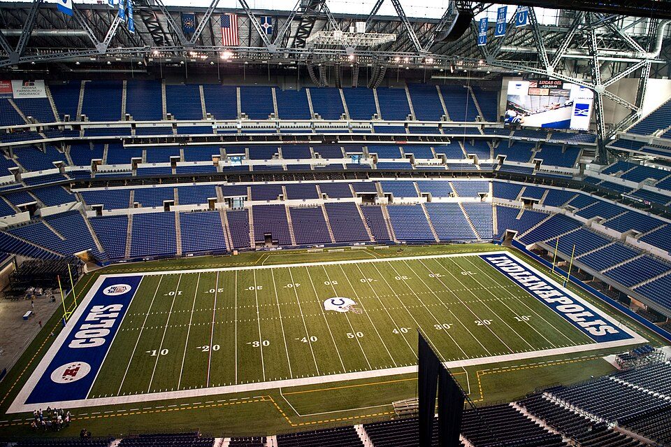 Big draw64 mi Stadium & arenaLucas Oil Stadium
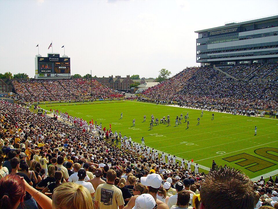 117 mi Stadium & arenaRoss–Ade Stadium
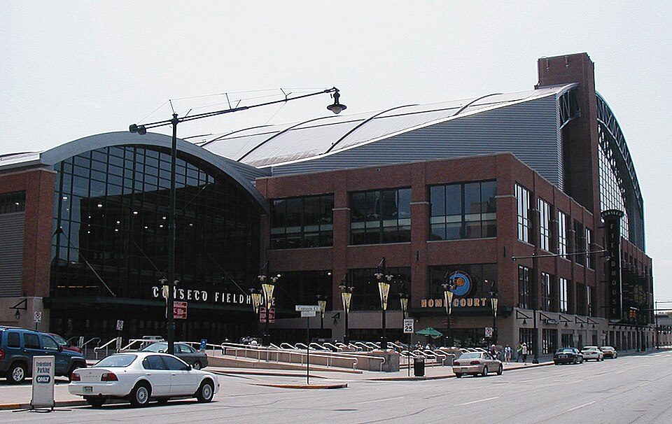 64 mi Stadium & arenaGainbridge Fieldhouse
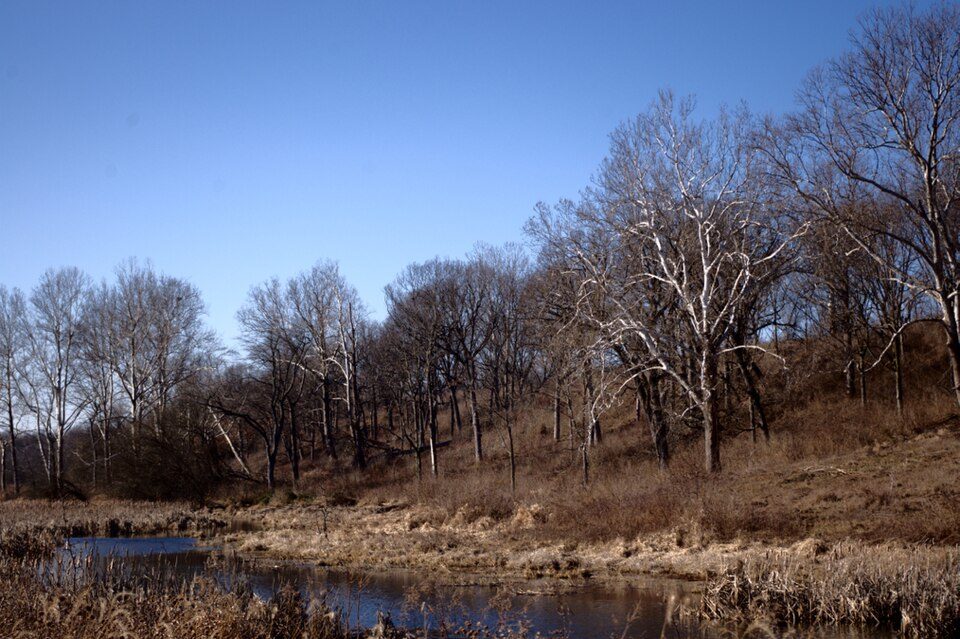 210 mi State parkProphetstown State Park315 mi Theme parkIndiana Beach
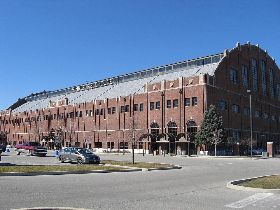 58 mi Stadium & arenaHinkle Fieldhouse
 63 mi LandmarkSoldiers' and Sailors' Monument
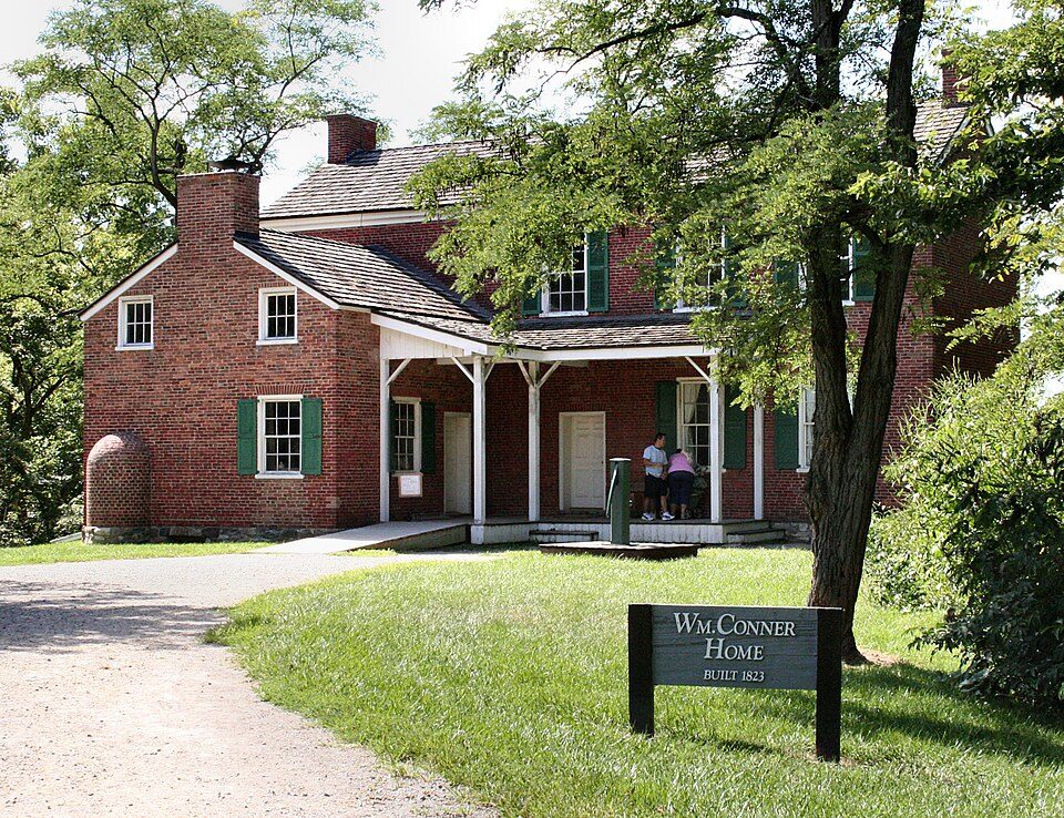 54 mi MuseumConner Prairie
Photo credits
Lucas Oil Stadium: Josh Hallett from Winter Haven, FL, USA, CC BY-SA 2.0 · Ross–Ade Stadium: Tstuddud at English Wikipedia, Public domain · Gainbridge Fieldhouse: Durin at English Wikipedia, CC BY-SA 3.0 · Prophetstown State Park: Flickr user: Dan https://www.flickr.com/photos/dwmizell/, CC BY-SA 2.0 · Hinkle Fieldhouse: Peetlesnumber1, CC BY-SA 3.0 · Soldiers' and Sailors' Monument: alexeatswhales, CC BY 2.0 · Conner Prairie: Unknown, CC BY 2.5


Asked about Wabash and Erie Canal
Is Wabash and Erie Canal in Deer Creek Township?
Yes. It’s inside Deer Creek Township, IN.
When is the best time to visit Wabash and Erie Canal?
May, June, August, September and October, with highs of 65–83°.
How far is Wabash and Erie Canal from Indianapolis?
About 63 miles southeast of Indianapolis, as the crow flies.
What is the closest airport to Wabash and Erie Canal?
Purdue University (LAF), about 18 miles away. The nearest big hub is Indianapolis (IND), about 64 miles.
Where should I stay near Wabash and Erie Canal?
Union Township (12 mi, 24 places to stay), Fairfield Township (14 mi, 31 places to stay) and Lafayette (16 mi, 31 places to stay).
Word from Deer Creek Township
Share what you know in Deer Creek Township’s Town Square.
Sources: National Park Service · ski areas © OpenSkiMap / OpenStreetMap contributors · Wikidata · Wikipedia readership · NOAA climate normals · U.S. Census.