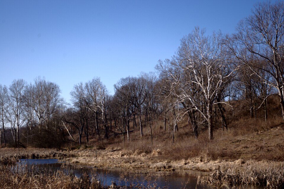
Prophetstown State Park
Prophetstown State Park commemorates a Native American village founded in 1808 by Shawnee leaders Tecumseh and his brother Tenskwatawa north of present-day Lafayette, Indiana, which grew into a large, multi-tribal community. Head to Tippecanoe Township to see it. It is managed by Indiana Department of Natural Resources.

A state park inside Tippecanoe Township
Winters are cold
January nights drop to 18°. When to go ↓
Fairfield Township is the nearest base
Fairfield Township is 5 miles south, with 31 places to stay. Where to stay ↓
A day trip from Indianapolis
Indianapolis is about 62 miles southeast (straight-line). Where to stay ↓
Best months: May, Jun, Aug, Sep and Oct
May, June, August, September and October are the mild months, with highs of 65–83°. When to go ↓
An airport 8 miles away
Purdue University (LAF) has airline service, about 8 miles from Prophetstown State Park.
Written from NOAA 1991–2020 normals, Overture places to stay, Census town figures, Wikidata and Wikipedia.
Weather through the year
This is the year’s weather near Prophetstown.
Prophetstown State Park
Prophetstown State Park commemorates a Native American village founded in 1808 by Shawnee leaders Tecumseh and his brother Tenskwatawa north of present-day Lafayette, Indiana, which grew into a large, multi-tribal community. The park features an open-air museum at Prophetstown, with living history exhibits including a Shawnee village and a 1920s-era farmstead. Battle Ground, Indiana, is a village about a mile east of the site of the Battle of Tippecanoe in 1811, a crucial battle in Tecumseh's War which ultimately led to the demise of Prophetstown. The state park was established in 2004 and receives about 335,000 visitors annually.
- Type
- State park
- Established
- 2004
- Run by
- Indiana Department of Natural Resources
- Wikipedia readers
- 17K a year
Where to stay near Prophetstown State Park
The closest towns with hotels, motels or campgrounds are Fairfield Township (31) and Lafayette (31).
Compare 8 towns
| Town | From Prophetstown | Drive | Places to stay | People | Typical home | Safety |
|---|---|---|---|---|---|---|
| Tippecanoe Township | in town | — | 2 1 hotel · 1 lodge or cabins | 9,877 | $307K | — |
| Fairfield Township | 5 mi south | 10 min | 31 27 hotels · 1 motel · 2 inns & B&Bs · 1 campground | 53,541 | $170K | — |
| Lafayette | 7 mi south | 10 min | 31 27 hotels · 1 motel · 2 inns & B&Bs · 1 campground | 71,238 | $173K | C− |
| West Lafayette | 6 mi southwest | 10 min | 7 7 hotels | 45,747 | $350K | B |
| Wabash Township | 7 mi west | 10 min | 7 7 hotels | 66,098 | $322K | — |
| Union Township | 17 mi north | 25 min | 24 14 hotels · 1 inn or B&B · 5 lodges & cabins · 3 campgrounds · 1 RV park | 10,065 | $188K | — |
| Perry Township | 6 mi southeast | 10 min | 3 1 hotel · 2 campgrounds | 9,376 | $274K | — |
| Sheffield Township | 11 mi southeast | 15 min | 3 1 hotel · 2 campgrounds | 4,013 | $256K | — |
Day trip from
Straight-line miles.
Getting there
Nearest airports with airline service
Around Prophetstown
These well-known sights sit within 63 miles.
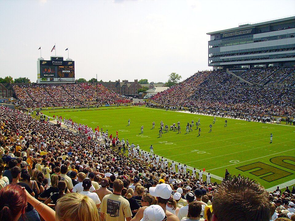 16 mi Stadium & arenaRoss–Ade Stadium
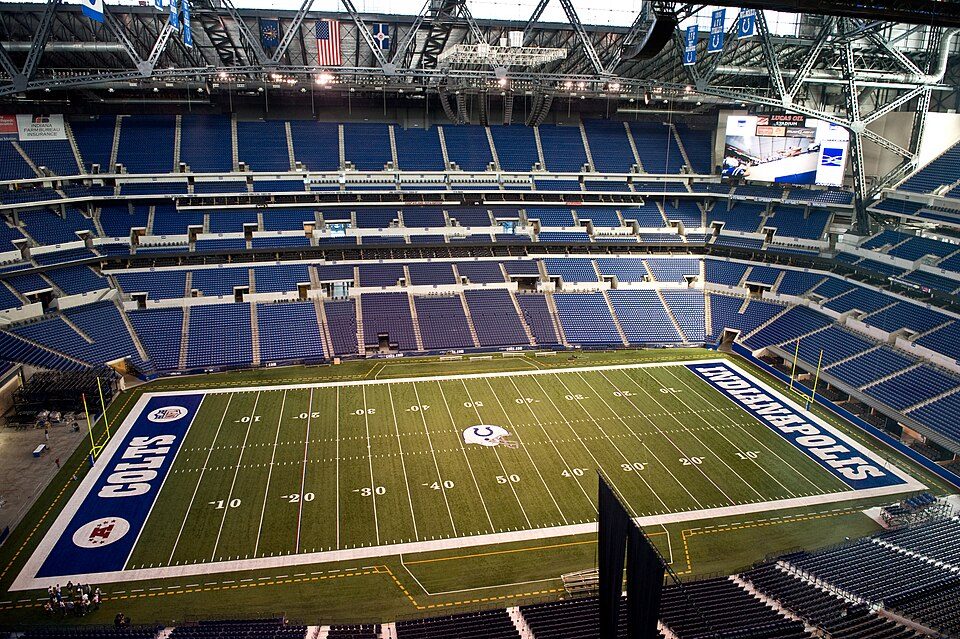 Big draw62 mi Stadium & arenaLucas Oil Stadium
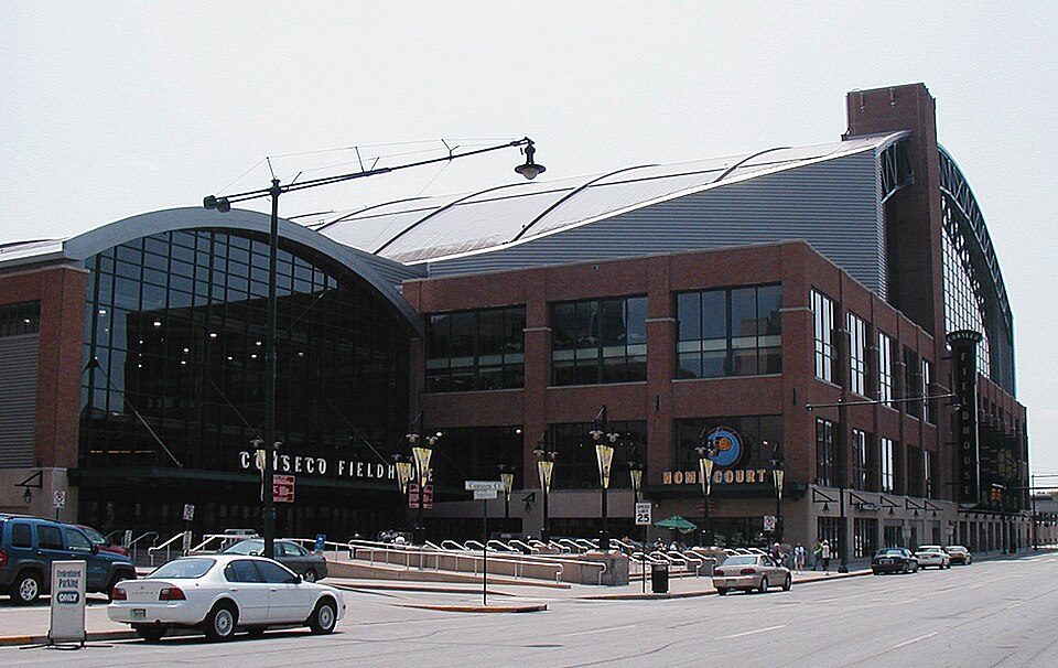 62 mi Stadium & arenaGainbridge Fieldhouse210 mi LandmarkWabash and Erie Canal320 mi Theme parkIndiana Beach
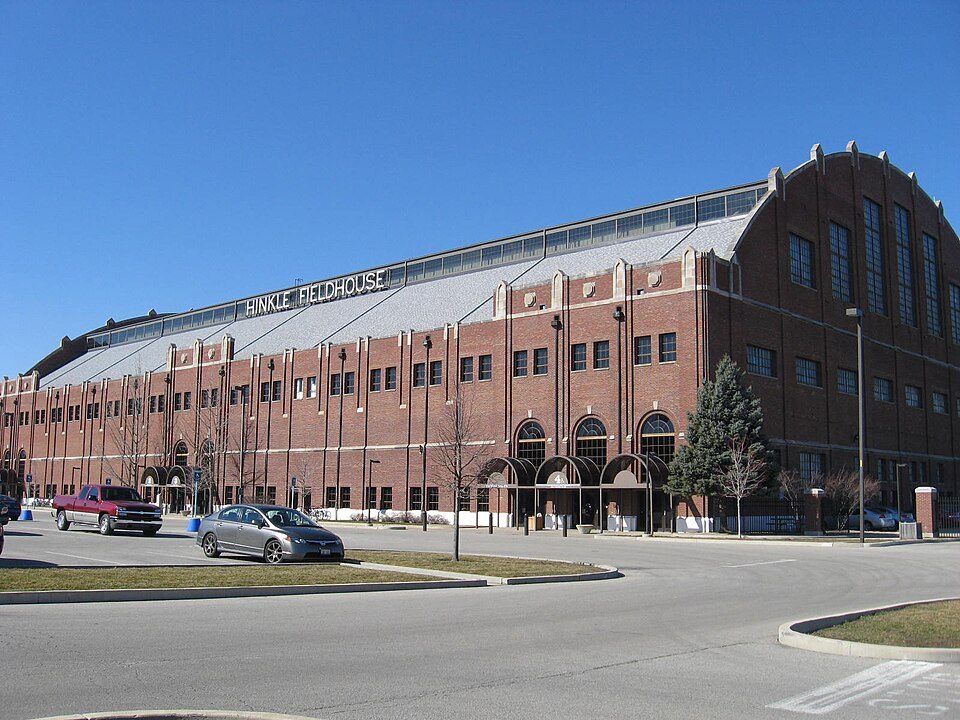 57 mi Stadium & arenaHinkle Fieldhouse
 62 mi LandmarkSoldiers' and Sailors' Monument
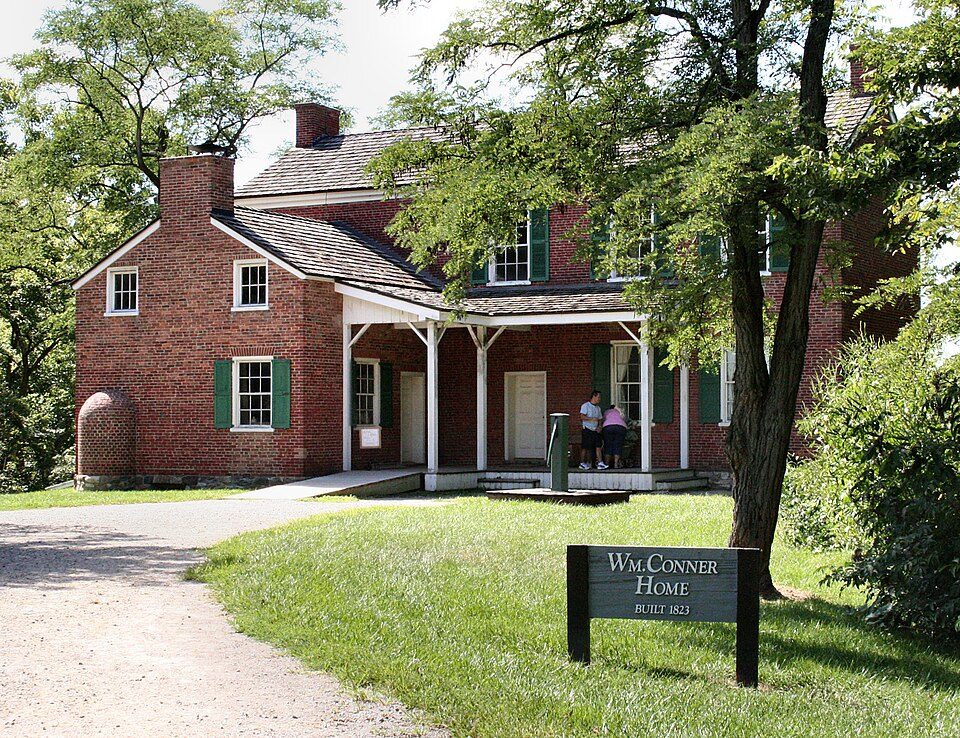 55 mi MuseumConner Prairie
Photo credits
Ross–Ade Stadium: Tstuddud at English Wikipedia, Public domain · Lucas Oil Stadium: Josh Hallett from Winter Haven, FL, USA, CC BY-SA 2.0 · Gainbridge Fieldhouse: Durin at English Wikipedia, CC BY-SA 3.0 · Hinkle Fieldhouse: Peetlesnumber1, CC BY-SA 3.0 · Soldiers' and Sailors' Monument: alexeatswhales, CC BY 2.0 · Conner Prairie: Unknown, CC BY 2.5


Planning a visit to Prophetstown
Is Prophetstown State Park in Tippecanoe Township?
Yes. It’s inside Tippecanoe Township, IN.
When is the best time to visit Prophetstown State Park?
May, June, August, September and October, with highs of 65–83°.
How far is Prophetstown State Park from Indianapolis?
About 62 miles southeast of Indianapolis, as the crow flies.
What is the closest airport to Prophetstown State Park?
Purdue University (LAF), about 8 miles away. The nearest big hub is Indianapolis (IND), about 61 miles.
Where should I stay near Prophetstown State Park?
Fairfield Township (5 mi, 31 places to stay), Lafayette (7 mi, 31 places to stay) and West Lafayette (6 mi, 7 places to stay).
Local know-how from Tippecanoe Township
No one has shared advice yet; Tippecanoe Township’s Town Square takes questions.
Sources: National Park Service · ski areas © OpenSkiMap / OpenStreetMap contributors · Wikidata · Wikipedia readership · NOAA climate normals · U.S. Census.