
Tonopah Historic Mining Park
The Tonopah Historic Mining Park is a defunct mining area in Tonopah, Nevada, United States, that now serves as a museum and historical site. Weather is mildest over May, June, September and October, with 66–82°F highs.
A theme park inside Tonopah
Check the season before you go
Most theme parks this far north close for the winter. Check the park’s calendar for opening days. When to go ↓
You can stay in Tonopah
Tonopah Historic Mining Park is inside Tonopah, which has 15 places to stay, so you won’t need a base farther out. Where to stay ↓
Best months: May, Jun, Sep and Oct
May, June, September and October are the mild months, with highs of 66–82°. When to go ↓
Written from NOAA 1991–2020 normals, Overture places to stay, Census town figures and Wikipedia.
Picking a season
Use the months below to time a visit to Tonopah Historic Mining Park.
Tonopah Historic Mining Park
The Tonopah Historic Mining Park is a defunct mining area in Tonopah, Nevada, United States, that now serves as a museum and historical site. The site covers 113-acre of land. It is currently operated by the non-profit foundation named after the park.
- Type
- Theme park
Rooms near Tonopah Historic Mining Park
Hotels, motels or campgrounds are closest in Tonopah (15) and Goldfield (5).
Compare 3 towns
Getting there
Nearest airports with airline service
Next door to Tonopah Historic Mining Park
Every place here is under 60 miles away.
 59 mi

Photo credits
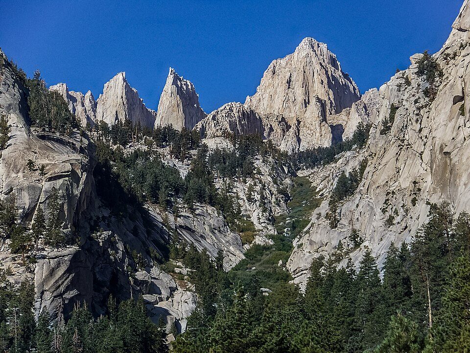
Inyo National Forest: Cullen328, CC BY 3.0

What people ask about Tonopah Historic Mining Park
Is Tonopah Historic Mining Park open in winter?
Most theme parks this far north close for the winter. Check the park’s calendar for opening days.
Is Tonopah Historic Mining Park in Tonopah?
Yes. It’s inside Tonopah, NV.
When is the best time to visit Tonopah Historic Mining Park?
May, June, September and October, with highs of 66–82°.
What is the closest airport to Tonopah Historic Mining Park?
Eastern Sierra Regional (BIH), about 78 miles away. The nearest big hub is Fresno Yosemite (FAT), about 163 miles.
Where should I stay near Tonopah Historic Mining Park?
Tonopah (in town, 15 places to stay) and Goldfield (25 mi, 5 places to stay).
Tips from Tonopah
Share what you know in Tonopah’s Town Square.
Sources: National Park Service · ski areas © OpenSkiMap / OpenStreetMap contributors · Wikidata · Wikipedia readership · NOAA climate normals · U.S. Census.