Terry Peak Ski Area
Terry Peak is a mountain and ski area in the west central United States, in the Black Hills of South Dakota outside of Lead. For a second stop, Deer Mountain Village is 1.9 mi away. The coldest months are January, February and December, with highs of 37°F.
A ski area, 3 mi west of Lead
About 184 inches of snow a year
The nearest weather station records about 184" of snow in a normal winter, with January nights around 14°. When to go ↓
Lead is the nearest base
Lead is 3 miles east, with 21 places to stay. Where to stay ↓
Written from NOAA 1991–2020 normals, Overture places to stay, Census town figures and Wikipedia.
Weather, month by month
The months below show the weather around Terry Peak.
Terry Peak Ski Area
Terry Peak is a mountain and ski area in the west central United States, in the Black Hills of South Dakota outside of Lead. With an elevation of 7,064 feet (2,153 m) above sea level, it is the most prominent peak in the Northern Black Hills area, and the sixth highest summit in the range; the tallest is Black Elk Peak (formerly Harney Peak) at 7,244 feet (2,208 m).
The mountain was named for Alfred Howe Terry, who had explored the area. It was first used as a ski area in 1936 by the Bald Mountain Ski Club when a rope tow was installed. The first chair lift was installed in 1952 and began operation in 1954. The ski area has since seen many upgrades in chair lifts, trails, and accommodations.
- Type
- Ski area
- Terrain
- 28 runs · 1,075 ft vertical · 5 lifts
- Wikipedia readers
- 3.7K a year
- Official site
- terrypeak.com
Nights near Terry Peak Ski Area
To stay close, try Deadwood (43) and Lead (21).
Deadwood
The closest town with somewhere to stay.
1,360 people
7 mi northeast of Terry Peak
Compare 8 towns
| Town | From Terry Peak | Drive | Places to stay | People | Typical home | Safety |
|---|---|---|---|---|---|---|
| Deadwood | 7 mi northeast | 10 min | 43 27 hotels · 2 motels · 4 inns & B&Bs · 4 lodges & cabins · 5 campgrounds · 1 RV park | 1,360 | $227K | D |
| Lead | 3 mi east | 5 min | 21 6 hotels · 1 motel · 1 inn or B&B · 13 lodges & cabins | 3,064 | $189K | B+ |
| Spearfish | 11 mi north | 15 min | 27 13 hotels · 1 motel · 5 inns & B&Bs · 3 lodges & cabins · 4 campgrounds · 1 RV park | 14,154 | $346K | C |
| Sturgis | 17 mi east | 25 min | 27 7 hotels · 2 motels · 1 inn or B&B · 16 campgrounds · 1 RV park | 6,922 | $271K | C− |
| Mountain Plains | 9 mi north | 15 min | 4 2 hotels · 1 lodge or cabins · 1 campground | 350 | $613K | — |
| Blucksberg Mountain | 19 mi east | 30 min | 9 2 lodges & cabins · 5 campgrounds · 2 RV parks | 692 | $329K | — |
| North Spearfish | 13 mi north | 20 min | 4 1 hotel · 3 campgrounds | 1,858 | $356K | — |
| Whitewood | 13 mi northeast | 20 min | 3 3 hotels | 981 | $243K | — |
Getting there
Nearest airports with airline service
Close to Terry Peak
Also within 57 miles are these.
 Big draw36 mi National MemorialMount Rushmore National Memorial1.9M visitors a year
 Big draw47 mi National MonumentDevils Tower National Monument515K visitors a year
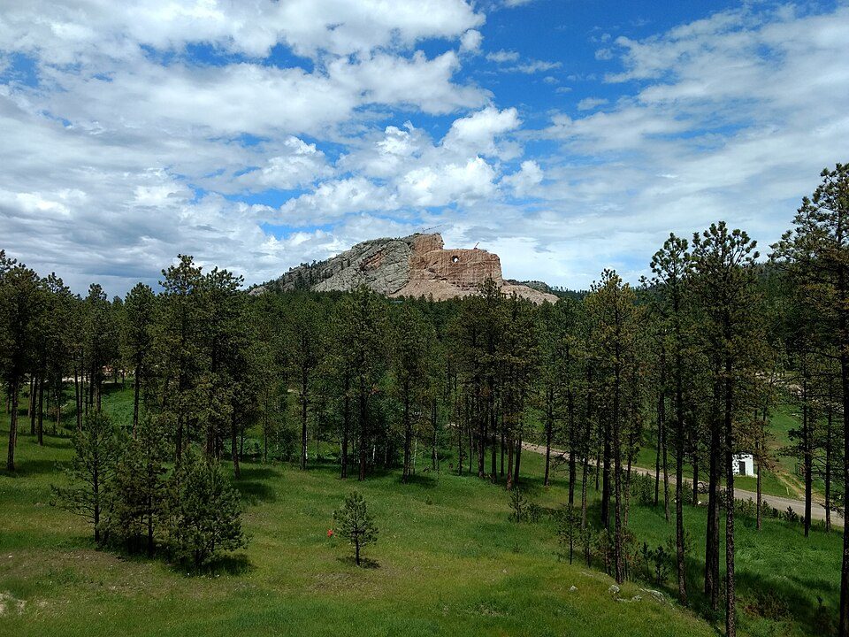 Big draw36 mi LandmarkCrazy Horse Memorial
 35 mi MountainBlack Elk Peak
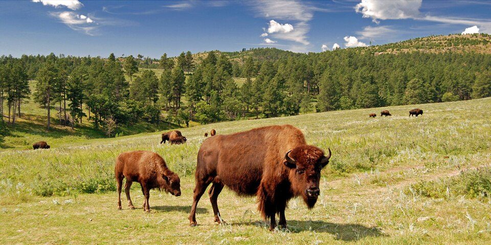 46 mi State parkCuster State Park
 57 mi National ParkWind Cave National Park606K visitors a year42 mi National MonumentJewel Cave National Monument111K visitors a year12 mi Ski areaDeer Mountain Village52 runs · 615 ft vertical
Photo credits
Mount Rushmore National Memorial: Thomas Wolf, www.foto-tw.de, CC BY-SA 3.0 · Devils Tower National Monument: Ealdgyth, CC BY 3.0 · Crazy Horse Memorial: Jeffreylcooke, CC BY-SA 4.0 · Black Elk Peak: BHrock at English Wikipedia, Public domain · Custer State Park: Guimir, Public domain · Wind Cave National Park: USGS/USGov, Public domain


Quick answers on Terry Peak
What town is Terry Peak Ski Area near?
Lead, SD, about 3 miles east.
What is the closest airport to Terry Peak Ski Area?
Rapid City Regional (RAP), about 43 miles away.
Where should I stay near Terry Peak Ski Area?
Deadwood (7 mi, 43 places to stay), Lead (3 mi, 21 places to stay) and Spearfish (11 mi, 27 places to stay).
Questions for Lead
Questions and tips go in Lead’s Town Square.
Sources: National Park Service · ski areas © OpenSkiMap / OpenStreetMap contributors · Wikidata · Wikipedia readership · NOAA climate normals · U.S. Census.