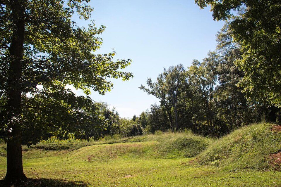
Staunton River Battlefield State Park
Staunton River Battlefield State Park is a state park located in Virginia. Its location is 12 mi south of Charlotte Court House. Our list goes on with Red Hill Patrick Henry, 15 mi away.

A museum, 12 mi south of Charlotte Court House
Plan where you’ll sleep
The nearest town with many places to stay is South Boston, 17 miles southwest. Where to stay ↓
A day trip from Raleigh
Raleigh is about 73 miles south (straight-line). Where to stay ↓
Best months: Apr, May, Jun, Sep and Oct
April, May, June, September and October are the mild months, with highs of 69–83°. When to go ↓
Written from NOAA 1991–2020 normals, Overture places to stay, Census town figures and Wikipedia.
Picking a season
Pick a month for Staunton River Battlefield from the weather below.
Staunton River Battlefield State Park
Staunton River Battlefield State Park is a state park located in Virginia. The park straddles the Staunton River in Halifax and Charlotte counties. The Roanoke visitor center in Randolph, Virginia is a railroad depot which now holds exhibits on Native Americans and railroad history. The Clover visitor center has exhibits on the American Civil War and the battle which took place on this site. It also includes information about the production of electric energy. The park also includes the Mulberry Hill plantation, given to the state in 1999.
Located in the park is the Wade Archeological Site. It was listed on the National Register of Historic Places in 2003. The Confederate fortifications at the bridge were listed in 2014.
- Type
- Museum
Hotels and campgrounds near Staunton River Battlefield State Park
Nearest for a night are South Boston (6) and Clarksville (9).
South Boston
The closest town with somewhere to stay.
7,795 people
17 mi southwest of Staunton River Battlefield
Compare 8 towns
| Town | From Staunton River Battlefield | Drive | Places to stay | People | Typical home | Safety |
|---|---|---|---|---|---|---|
| South Boston | 17 mi southwest | 25 min | 6 4 hotels · 2 inns & B&Bs | 7,795 | $171K | C− |
| Clarksville | 20 mi southeast | 30 min | 9 3 hotels · 2 motels · 4 inns & B&Bs | 1,303 | $221K | B+ |
| Riverdale | 18 mi southwest | 25 min | 5 2 hotels · 2 motels · 1 inn or B&B | 1,077 | $205K | — |
| Chase City | 15 mi southeast | 20 min | 3 1 motel · 1 lodge or cabins · 1 RV park | 2,054 | $113K | C |
| Cluster Springs | 23 mi southwest | 35 min | 5 2 inns & B&Bs · 1 lodge or cabins · 1 campground · 1 RV park | 859 | $133K | — |
| Charlotte Court House | 12 mi north | 20 min | 1 1 inn or B&B | 499 | $167K | — |
| Brookneal | 18 mi northwest | 25 min | 2 1 hotel · 1 lodge or cabins | 1,083 | $136K | A− |
| Nathalie 45% vacation homes | 14 mi west | 20 min | 1 1 inn or B&B | 24 | — | — |
Day trip from
Straight-line miles.
Getting there
Nearest airports with airline service
Close to Staunton River Battlefield
More places people know lie within 63 miles.
 34 mi National Historical ParkAppomattox Court House National Historical Park77K visitors a year
 47 mi LakeSmith Mountain Lake
 115 mi LandmarkRed Hill Patrick Henry National Memorial
 61 mi LandmarkBennett Place State Historic Site
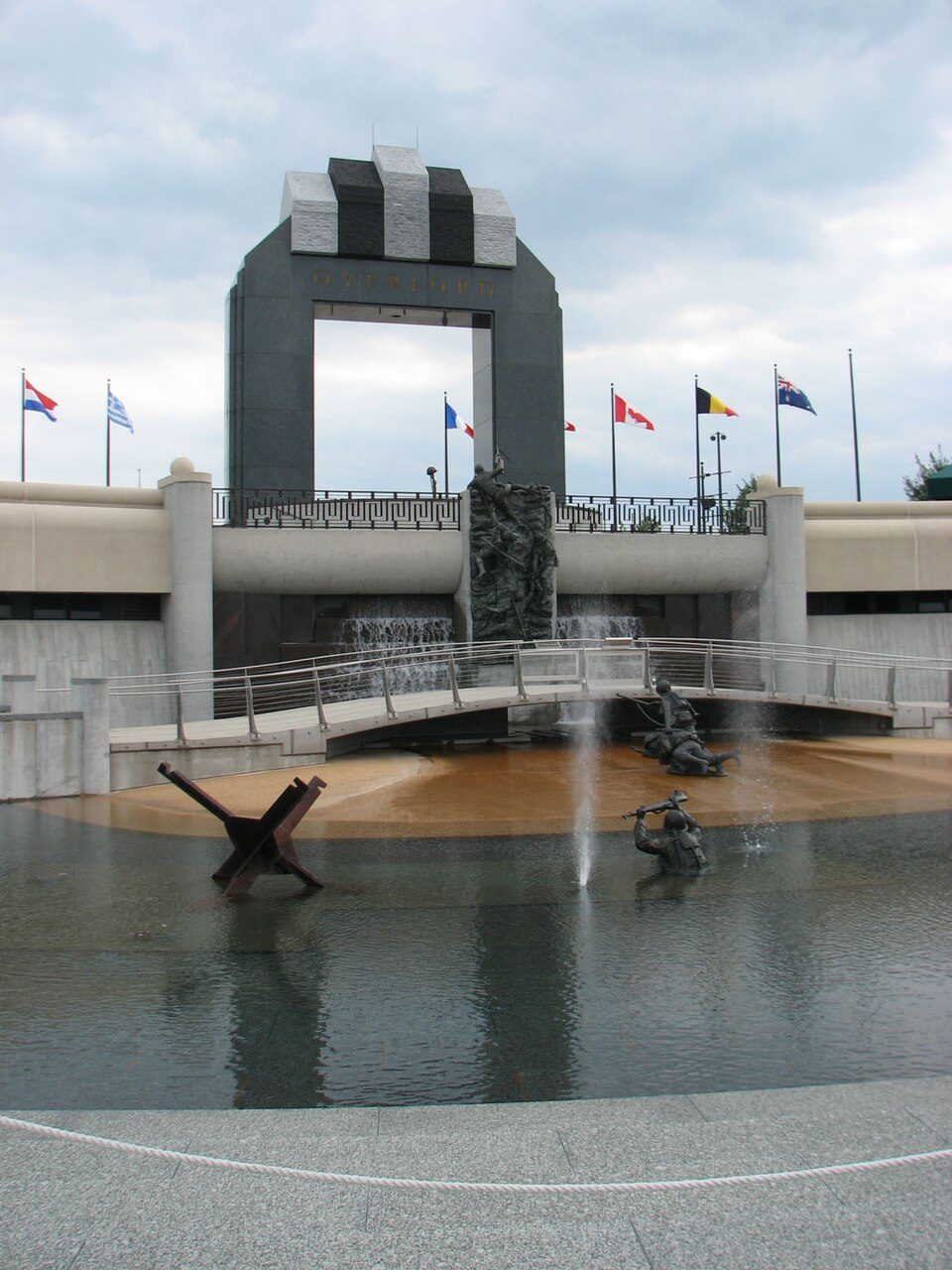 55 mi LandmarkNational D-Day Memorial
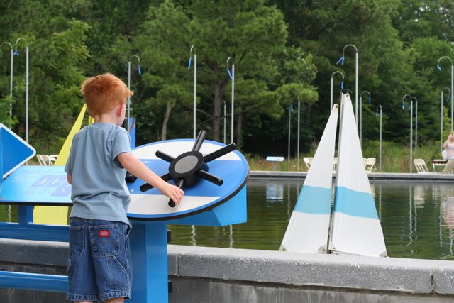 60 mi Zoo & aquariumMuseum of Life and Science
 62 mi GardenSarah P. Duke Gardens
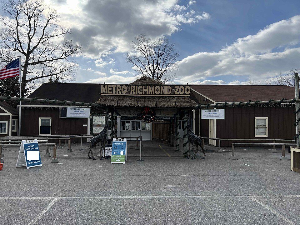 62 mi Zoo & aquariumMetro Richmond Zoo
Photo credits
Appomattox Court House National Historical Park: Doug Coldwell, CC BY-SA 3.0 · Smith Mountain Lake: Jay White, Public domain · Red Hill Patrick Henry National Memorial: Jamestown Official Photo Corp., Public domain · Bennett Place State Historic Site: Ildar Sagdejev (Specious), CC BY-SA 4.0 · National D-Day Memorial: RebelAt at English Wikipedia, Public domain · Museum of Life and Science: photographer: Tony Rice, CC BY 2.5 · Sarah P. Duke Gardens: monsieuricon from Montréal, Canada, CC BY-SA 2.0 · Metro Richmond Zoo: Packer1028, CC0


Staunton River Battlefield, answered
What town is Staunton River Battlefield State Park near?
Charlotte Court House, VA, about 12 miles north.
When is the best time to visit Staunton River Battlefield State Park?
April, May, June, September and October, with highs of 69–83°.
How far is Staunton River Battlefield State Park from Durham and Raleigh?
About 64 miles south of Durham and about 73 miles south of Raleigh, as the crow flies.
What is the closest airport to Staunton River Battlefield State Park?
Lynchburg Regional Airport - Preston Glenn Field (LYH), about 41 miles away. The nearest big hub is Raleigh-Durham (RDU), about 70 miles.
Where should I stay near Staunton River Battlefield State Park?
South Boston (17 mi, 6 places to stay), Clarksville (20 mi, 9 places to stay) and Riverdale (18 mi, 5 places to stay).
Charlotte Court House has the answers
Start the conversation in Charlotte Court House’s Town Square.
Sources: National Park Service · ski areas © OpenSkiMap / OpenStreetMap contributors · Wikidata · Wikipedia readership · NOAA climate normals · U.S. Census.