
Stannard Rock Light
The Stannard Rock Light is a lighthouse located on a reef that was the most serious hazard to navigation on Lake Superior. Head 34 mi southeast of Grant Township to reach it. It dates from 1883.

A lighthouse, 34 mi southeast of Grant Township
Plan where you’ll sleep
The nearest town with many places to stay is Grant Township, 34 miles northwest. Where to stay ↓
Winters are cold
January nights drop to 13°. When to go ↓
Established in 1883
Stannard Rock Light dates from 1883. About ↓
Best months: Jun, Jul, Aug and Sep
June, July, August and September are the mild months, with highs of 66–73°. When to go ↓
Written from NOAA 1991–2020 normals, Overture places to stay, Census town figures, Wikidata and Wikipedia.
Choosing a month
Every month near Stannard Rock Light is set out below.
Stannard Rock Light
The Stannard Rock Light is a lighthouse located on a reef that was the most serious hazard to navigation on Lake Superior. The exposed crib of the Stannard Rock Light is rated as one of the top ten engineering feats in the United States. It is 24 miles (39 km) from the nearest land, making it the most distant (from shore) lighthouse in the United States. It was one of the "stag stations", manned only by men, and had the nickname "The Loneliest Place in the World".
The lighthouse was automated in 1962 and the United States Coast Guard still maintains it as an active aid to navigation. It is closed to the public and can only be viewed by boat or airplane. It was listed on the National Register of Historic Places in 1971.
- Type
- Lighthouse
- Established
- 1883
- Listed
- National Register of Historic Places (1973)
- Wikipedia readers
- 14K a year
Where to base yourself for Stannard Rock Light
For a bed close by, look to Grant Township (17) and Marquette Township (9).
Grant Township
The closest town with somewhere to stay.
255 people · 50% vacation homes
34 mi northwest of Stannard Rock Light
Compare 3 towns
| Town | From Stannard Rock Light | Drive | Places to stay | People | Typical home |
|---|---|---|---|---|---|
| Grant Township 50% vacation homes | 34 mi northwest | 50 min | 17 5 hotels · 4 motels · 1 inn or B&B · 4 lodges & cabins · 3 campgrounds | 255 | $264K |
| Marquette Township | 43 mi south | 1 hr | 9 5 hotels · 3 motels · 1 campground | 4,196 | $287K |
| Powell Township 39% vacation homes | 39 mi southwest | 1 hr | 4 1 motel · 1 inn or B&B · 2 campgrounds | 765 | $164K |
Getting there
Nearest airports with airline service
While you are near Stannard Rock Light
Within 64 miles you can add these well-known places.
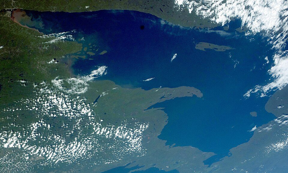 Big draw35 mi LakeLake Superior
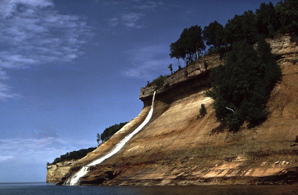 61 mi National LakeshorePictured Rocks National Lakeshore934K visitors a year
 53 mi MountainMount Arvon
 63 mi National Historical ParkKeweenaw National Historical Park35K visitors a year
 53 mi MuseumCliffs Shaft Mine Museum40 mi Ski areaMount Bohemia21 runs · 814 ft vertical
 48 mi MuseumLakenenland
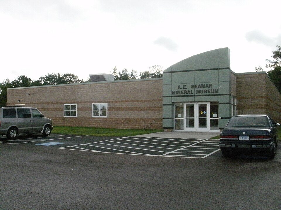 63 mi MuseumA. E. Seaman Mineral Museum
Photo credits
Lake Superior: NASA, Public domain · Pictured Rocks National Lakeshore: National Park Service, Public domain · Mount Arvon: Yinan Chen, Public Domain · Keweenaw National Historical Park: Andrew Jameson, CC BY-SA 3.0 · Cliffs Shaft Mine Museum: Andrew Jameson, CC BY-SA 3.0 · Lakenenland: Skvader, CC BY-SA 4.0 · A. E. Seaman Mineral Museum: Chris857, CC BY-SA 3.0


Stannard Rock Light, answered
What town is Stannard Rock Light near?
Grant Township, MI, about 34 miles northwest.
When is the best time to visit Stannard Rock Light?
June, July, August and September, with highs of 66–73°.
What is the closest airport to Stannard Rock Light?
Marquette Sawyer Regional (MQT), about 58 miles away.
Where should I stay near Stannard Rock Light?
Grant Township (34 mi, 17 places to stay), Marquette Township (43 mi, 9 places to stay) and Powell Township (39 mi, 4 places to stay).
Locals’ advice in Grant Township
Nobody has posted a tip yet; ask or answer in Grant Township’s Town Square.
Sources: National Park Service · ski areas © OpenSkiMap / OpenStreetMap contributors · Wikidata · Wikipedia readership · NOAA climate normals · U.S. Census.