
Pike National Forest
The Pike National Forest is located in the Front Range of Colorado, United States, west of Colorado Springs including Pikes Peak. Head 9 mi west of Westcreek to reach it. It is managed by the United States Forest Service.

A national forest, 9 mi west of Westcreek
Plan where you’ll sleep
The nearest town with many places to stay is Woodland Park, 19 miles southeast. Where to stay ↓
Winters are cold
January nights drop to 13°, with about 59" of snow a year. When to go ↓
A day trip from Denver
Denver is about 46 miles northeast (straight-line). Where to stay ↓
Established in 1908
Pike National Forest dates from 1908 and is run by United States Forest Service. About ↓
Best months: Jun, Jul, Aug and Sep
June, July, August and September are the mild months, with highs of 72–80°. When to go ↓
Written from NOAA 1991–2020 normals, Overture places to stay, Census town figures, Wikidata and Wikipedia.
The weather by month
Plan a visit to Pike National Forest around the weather below.
Pike National Forest
The Pike National Forest is located in the Front Range of Colorado, United States, west of Colorado Springs including Pikes Peak. The forest encompasses 1,106,604 acres (4,478 km2) within Clear Creek, Teller, Park, Jefferson, Douglas and El Paso counties. The major rivers draining the forest are the South Platte and Fountain Creek. Rampart Reservoir is a large artificial body of water located within the forest.
The forest is named after American explorer Zebulon Pike.
- Type
- National forest
- Established
- 1908
- Run by
- United States Forest Service
- Wikipedia readers
- 7.3K a year
Hotels and campgrounds near Pike National Forest
Nearest for a night are Woodland Park (11) and Cascade-Chipita Park (11), and Colorado Springs has the most rooms in the area (202).
Woodland Park
The closest town with somewhere to stay.
8,014 people
19 mi southeast of Pike National Forest
Green Mountain Falls
601 people · 48% vacation homes
23 mi southeast of Pike National Forest
Colorado Springs
The most places to stay in the area, and a base for a longer trip.
494,743 people
37 mi southeast of Pike National Forest
Compare 9 towns
| Town | From Pike National Forest | Drive | Places to stay | People | Typical home | Safety |
|---|---|---|---|---|---|---|
| Woodland Park | 19 mi southeast | 30 min | 11 1 hotel · 1 inn or B&B · 6 lodges & cabins · 2 campgrounds · 1 RV park | 8,014 | $549K | B |
| Cascade-Chipita Park | 24 mi southeast | 35 min | 11 5 inns & B&Bs · 4 lodges & cabins · 2 campgrounds | 1,412 | $515K | — |
| Florissant | 17 mi south | 25 min | 4 3 lodges & cabins · 1 campground | 192 | — | — |
| Green Mountain Falls 48% vacation homes | 23 mi southeast | 35 min | 7 3 inns & B&Bs · 4 lodges & cabins | 601 | $449K | — |
| Westcreek 25% vacation homes | 9 mi east | 15 min | 1 1 lodge or cabins | 237 | $553K | — |
| Castle Rock | 28 mi northeast | 40 min | 10 8 hotels · 2 motels | 83,815 | $653K | B+ |
| Divide | 18 mi southeast | 30 min | 2 1 lodge or cabins · 1 campground | 87 | — | — |
| Ken Caryl | 29 mi north | 45 min | 7 7 hotels | 33,233 | $600K | — |
| Colorado Springs | 37 mi southeast | 1 hr | 202 143 hotels · 19 motels · 10 inns & B&Bs · 17 lodges & cabins · 2 hostels · 6 campgrounds · 5 RV parks | 494,743 | $453K | D |
Day trip from
Straight-line miles.
Getting there
Nearest airports with airline service
Make a day of it near Pike National Forest
A wider trip can take in these, within 61 miles.
 Big draw128 mi MountainPikes Peak
 Big draw43 mi LandmarkNorth American Aerospace Defense Command
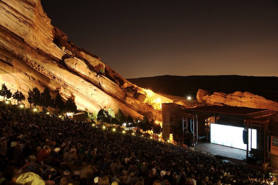 Big draw34 mi TheatreRed Rocks Amphitheatre
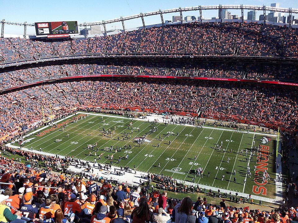 Big draw42 mi Stadium & arenaEmpower Field at Mile High
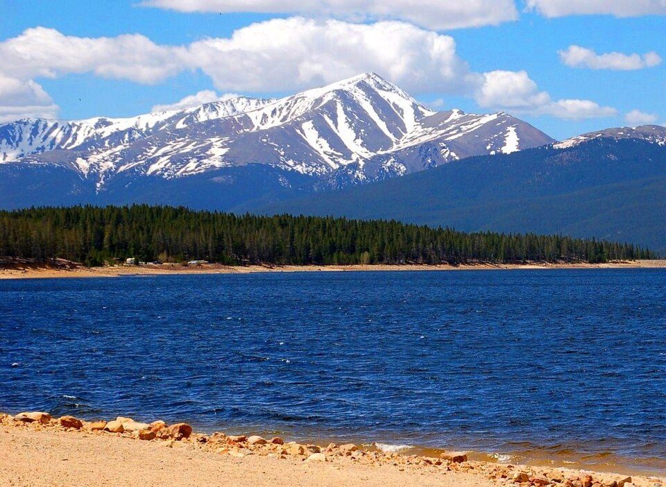 Big draw61 mi MountainMount Elbert
 42 mi Stadium & arenaBall Arena
 43 mi Stadium & arenaCoors Field
 32 mi Park & preserveGarden of the Gods
Photo credits
Pikes Peak: David Shankbone, CC BY-SA 3.0 · North American Aerospace Defense Command: Unknown, Public domain · Red Rocks Amphitheatre: Unknown, CC BY-SA 3.0 · Empower Field at Mile High: Thelastcanadian, CC BY-SA 3.0 · Mount Elbert: Hogs555 (talk · contribs), CC BY-SA 4.0 · Ball Arena: KM Newnham, CC BY-SA 2.5 · Coors Field: Matt Kozlowski, CC BY-SA 3.0 · Garden of the Gods: Dicklyon, CC BY-SA 4.0


Questions people have about Pike National Forest
What town is Pike National Forest near?
Westcreek, CO, about 9 miles east.
When is the best time to visit Pike National Forest?
June, July, August and September, with highs of 72–80°.
How far is Pike National Forest from Denver and Aurora?
About 46 miles northeast of Denver and about 48 miles northeast of Aurora, as the crow flies.
What is the closest airport to Pike National Forest?
City of Colorado Springs Municipal (COS), about 42 miles away.
Where should I stay near Pike National Forest?
Colorado Springs (37 mi, 202 places to stay), Woodland Park (19 mi, 11 places to stay) and Cascade-Chipita Park (24 mi, 11 places to stay).
Local know-how from Westcreek
Start the conversation in Westcreek’s Town Square.
Sources: National Park Service · ski areas © OpenSkiMap / OpenStreetMap contributors · Wikidata · Wikipedia readership · NOAA climate normals · U.S. Census.