
Palo Duro Canyon
Palo Duro Canyon is a canyon system of the Caprock Escarpment located in the Texas Panhandle near the cities of Amarillo and Canyon.

A canyon & gorge, 10 mi southeast of Lake Tanglewood
Summers are hot
July and August highs run 91–93°, and about 84 days a year reach 90°. When to go ↓
Canyon is the nearest base
Canyon is 15 miles west, with 9 places to stay. Where to stay ↓
Best months: Apr, May, Sep and Oct
April, May, September and October are the mild months, with highs of 72–84°. When to go ↓
Written from NOAA 1991–2020 normals, Overture places to stay, Census town figures and Wikipedia.
Weather, month by month
Typical highs and lows in Lake Tanglewood. Green months are the mild ones.
Palo Duro Canyon
Palo Duro Canyon is a canyon system of the Caprock Escarpment located in the Texas Panhandle near the cities of Amarillo and Canyon. The eighth largest canyon system in the United States, it is roughly 45 mi (72 km) long and has an average width of 6 mi (9.7 km), but reaches a width of 20 mi (32 km) at places. Its depth is around 800 ft (240 m), but in some locations, valley bottom to surrounding hills increases to 1,000 ft (300 m). Palo Duro Canyon (from the Spanish meaning "hard stick") has been named "The Grand Canyon of Texas" both for its size and for its dramatic geological features, including the multicolored layers of rock and steep mesa walls, which are similar to those in the Grand Canyon. It runs through Palo Duro Canyon State Park.
- Type
- Canyon & gorge
- Wikipedia readers
- 37K a year
Where to stay near Palo Duro Canyon
The closest towns with hotels, motels or campgrounds are Amarillo (125) and Canyon (9).
- 1American Quarter Horse Hall of Fame
- 2Wonderland Park
- 3Panhandle–Plains Historical Museum
- 4Don Harrington Discovery Center
- 5Amarillo Museum of Art
Amarillo
The closest town with somewhere to stay.
205,130 people
20 mi northwest of Palo Duro Canyon
Compare 8 towns
| Town | From Palo Duro Canyon | Drive | Places to stay | People | Typical home | Safety |
|---|---|---|---|---|---|---|
| Amarillo | 20 mi northwest | 30 min | 125 84 hotels · 27 motels · 3 inns & B&Bs · 2 lodges & cabins · 3 campgrounds · 6 RV parks | 205,130 | $197K | D |
| Canyon | 15 mi west | 20 min | 9 5 hotels · 2 inns & B&Bs · 1 lodge or cabins · 1 RV park | 16,518 | $240K | A− |
| Timbercreek Canyon | 11 mi northwest | 15 min | 2 1 campground · 1 RV park | 476 | $400K | — |
| Rockwell Place | 15 mi northwest | 20 min | 3 3 RV parks | 2,016 | $92K | — |
| Lake Tanglewood 30% vacation homes | 10 mi northwest | 15 min | 1 1 lodge or cabins | 734 | $634K | — |
| Palisades | 11 mi northwest | 15 min | 1 1 inn or B&B | 295 | $267K | — |
| Claude | 20 mi northeast | 30 min | 3 1 motel · 1 inn or B&B · 1 RV park | 1,190 | $171K | — |
| Tulia | 29 mi south | 45 min | 3 2 motels · 1 RV park | 4,242 | $81K | C |
Getting there
Nearest airports with airline service
Also near Palo Duro Canyon
Other well-known places within 54 miles. Numbered ones are on the map above.
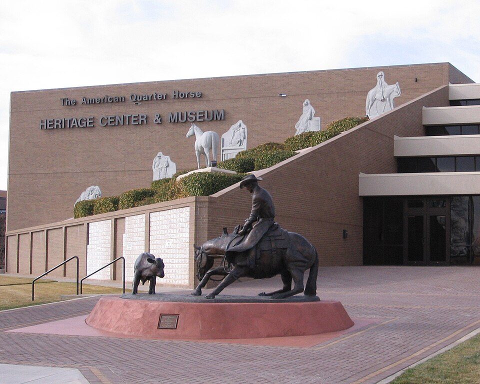 119 mi MuseumAmerican Quarter Horse Hall of Fame
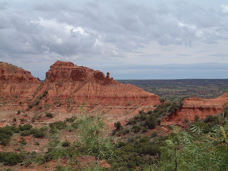 49 mi State parkCaprock Canyons State Park and Trailway
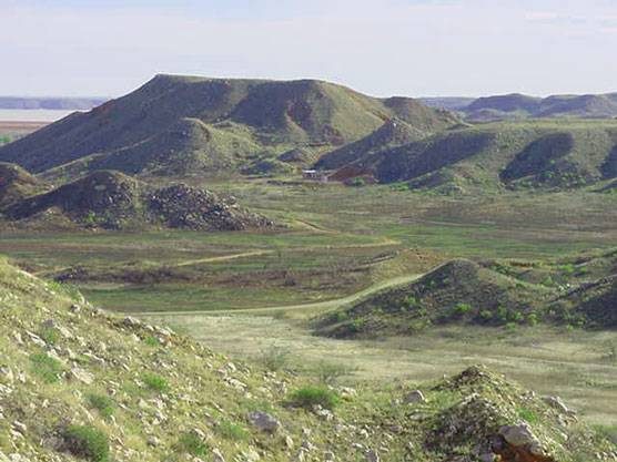 43 mi National MonumentAlibates Flint Quarries National Monument8K visitors a year
 222 mi Theme parkWonderland Park
 314 mi MuseumPanhandle–Plains Historical Museum
 422 mi MuseumDon Harrington Discovery Center
 519 mi MuseumAmarillo Museum of Art
 53 mi National Recreation AreaLake Meredith National Recreation Area1.0M visitors a year
Photo credits
American Quarter Horse Hall of Fame: No machine-readable author provided. J. Nguyen~commonswiki assumed (based on cop, CC BY-SA 3.0 · Caprock Canyons State Park and Trailway: Leaflet, CC BY-SA 3.0 · Alibates Flint Quarries National Monument: NPS Photo, Public domain · Wonderland Park: Slapshot46 at English Wikipedia, CC BY 3.0 · Panhandle–Plains Historical Museum: No machine-readable author provided. Who What Where Nguyen Why~commonswiki assum, Public domain · Don Harrington Discovery Center: Who What Where Nguyen Why, CC BY-SA 3.0 · Amarillo Museum of Art: Who What Where Nguyen Why a/k/a Anonymous Cow, CC BY-SA 3.0 · Lake Meredith National Recreation Area: NPS, Public domain


Visiting Palo Duro Canyon
What town is Palo Duro Canyon near?
Lake Tanglewood, TX, about 10 miles northwest.
When is the best time to visit Palo Duro Canyon?
April, May, September and October, with highs of 72–84°.
What is the closest airport to Palo Duro Canyon?
Rick Husband Amarillo (AMA), about 19 miles away. The nearest big hub is OKC Will Rogers World (OKC), about 232 miles.
Where should I stay near Palo Duro Canyon?
Amarillo (20 mi, 125 places to stay), Canyon (15 mi, 9 places to stay) and Rockwell Place (15 mi, 3 places to stay).
Tips from people in Lake Tanglewood
No tips yet. Ask, or answer, in Lake Tanglewood’s Town Square.
Sources: National Park Service · ski areas © OpenSkiMap / OpenStreetMap contributors · Wikidata · Wikipedia readership · NOAA climate normals · U.S. Census.