Niles Canyon
Niles Canyon is a canyon in the San Francisco Bay Area formed by Alameda Creek, known for its heritage railroad and silent movie history. You can find it in Fremont. Look also at Levi's Stadium, 12 mi away.
A canyon & gorge inside Fremont
You can stay in Fremont
Niles Canyon is inside Fremont, which has 27 places to stay, so you won’t need a base farther out. Where to stay ↓
Best months: Feb, Mar, Apr, May, Jun, Jul, Aug, Sep, Oct and Nov
February, March, April, May, June, July, August, September, October and November are the mild months, with highs of 63–82°. When to go ↓
Written from NOAA 1991–2020 normals, Overture places to stay, Census town figures and Wikipedia.
The weather by month
Below are typical highs and lows near Niles Canyon.
Niles Canyon
Niles Canyon is a canyon in the San Francisco Bay Area formed by Alameda Creek, known for its heritage railroad and silent movie history. The canyon is largely in an unincorporated area of Alameda County, while the western portion of the canyon lies within the city limits of Fremont and Union City. The stretch of State Route 84 known as Niles Canyon Road traverses the length of the canyon from the Niles district of Fremont to the unincorporated town of Sunol.
Two railroads also follow the same route down the canyon from Sunol to Niles: the old Southern Pacific track along the north side, now the Niles Canyon Railway, and the newer Union Pacific (formerly the Western Pacific) track a little to the south. At the west end of the canyon are the ruins of the Vallejo Flour Mill, which dates to 1853.
- Type
- Canyon & gorge
- Wikipedia readers
- 9.1K a year
Lodging near Niles Canyon
For a bed close by, look to Fremont (27) and San Francisco (528).
Compare 8 towns
| Town | From Niles Canyon | Drive | Places to stay | People | Typical home | Safety |
|---|---|---|---|---|---|---|
| Fremont | in town | — | 27 20 hotels · 3 motels · 1 inn or B&B · 2 lodges & cabins · 1 campground | 226,442 | $1,404K | C |
| San Francisco | 29 mi northwest | 45 min | 528 426 hotels · 24 motels · 37 inns & B&Bs · 5 lodges & cabins · 27 hostels · 6 campgrounds · 3 RV parks | 826,079 | $1,395K | D |
| San Jose | 21 mi southeast | 30 min | 133 95 hotels · 19 motels · 5 inns & B&Bs · 3 lodges & cabins · 7 campgrounds · 4 RV parks | 989,814 | $1,233K | D |
| Pleasanton | 8 mi northeast | 10 min | 21 15 hotels · 1 motel · 4 campgrounds · 1 RV park | 74,556 | $1,537K | C+ |
| Oakland | 19 mi northwest | 30 min | 89 56 hotels · 22 motels · 7 inns & B&Bs · 1 lodge or cabins · 1 hostel · 2 campgrounds | 440,838 | $930K | D− |
| Hayward | 8 mi northwest | 10 min | 21 15 hotels · 4 motels · 1 inn or B&B · 1 lodge or cabins | 157,113 | $854K | D |
| Sunnyvale | 14 mi south | 20 min | 42 34 hotels · 3 motels · 1 inn or B&B · 3 lodges & cabins · 1 campground | 156,577 | $1,802K | C |
| Mountain View | 14 mi southwest | 20 min | 36 30 hotels · 2 motels · 1 inn or B&B · 3 lodges & cabins | 85,438 | $1,927K | C− |
Getting there
Nearest airports with airline service
Around Niles Canyon
All of these are within 32 miles.
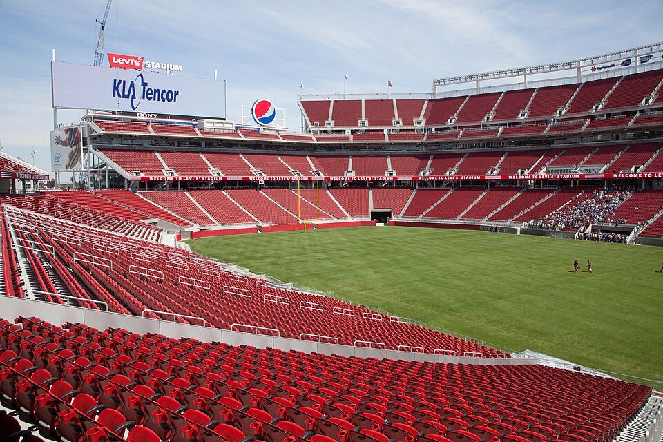 Big draw112 mi Stadium & arenaLevi's Stadium
 Big draw30 mi MuseumAlcatraz Federal Penitentiary
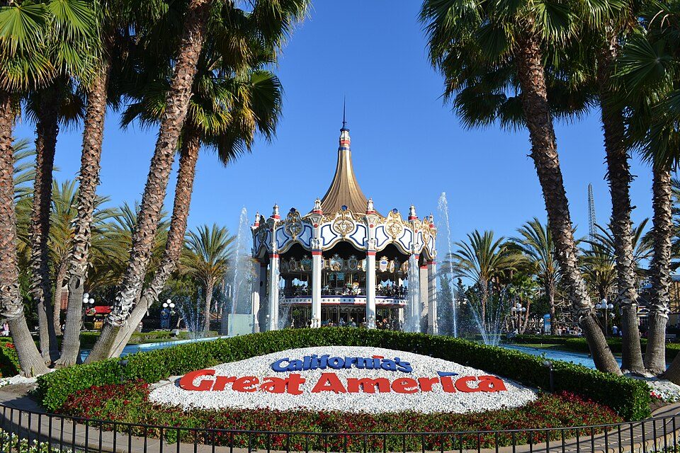 Big draw213 mi Theme parkCalifornia's Great America
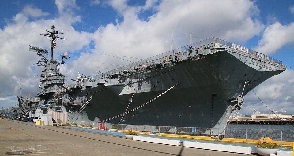 Big draw323 mi MuseumUSS Hornet
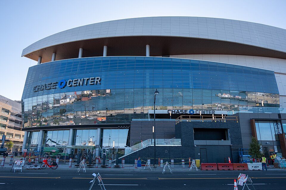 Big draw426 mi Stadium & arenaChase Center
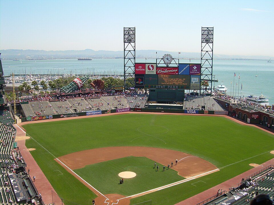 Big draw527 mi Stadium & arenaOracle Park
 Big draw629 mi LandmarkLombard Street
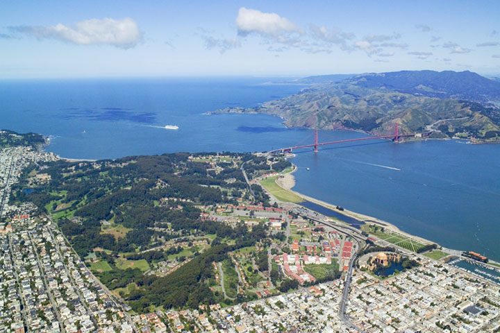 Big draw31 mi GardenPresidio of San Francisco
Photo credits
Levi's Stadium: Matthew Roth, CC BY-SA 2.0 · Alcatraz Federal Penitentiary: druchoy, CC BY-SA 2.0 · California's Great America: Oleg Alexandrov, CC BY-SA 4.0 · USS Hornet: kitmasterbloke, CC BY 2.0 · Chase Center: Gregory Varnum, CC BY-SA 4.0 · Oracle Park: User Coasttocoast on en.wikipedia, CC BY-SA 3.0 · Lombard Street: The original uploader was Y6y6y6 at English Wikipedia., Public domain · Presidio of San Francisco: Robert Campbell, CC BY-SA 3.0


Questions about Niles Canyon
Is Niles Canyon in Fremont?
Yes. It’s inside Fremont, CA.
When is the best time to visit Niles Canyon?
February, March, April, May, June, July, August, September, October and November, with highs of 63–82°.
How far is Niles Canyon from Stockton?
About 45 miles northeast of Stockton, as the crow flies.
What is the closest airport to Niles Canyon?
Mineta San Jose (SJC), about 15 miles away.
Where should I stay near Niles Canyon?
Fremont (in town, 27 places to stay), San Francisco (29 mi, 528 places to stay) and San Jose (21 mi, 133 places to stay).
Tips from Fremont
Be the first to share a tip in Fremont’s Town Square.
Sources: National Park Service · ski areas © OpenSkiMap / OpenStreetMap contributors · Wikidata · Wikipedia readership · NOAA climate normals · U.S. Census.