
Nantahala National Forest
The Nantahala National Forest is the largest of the four national forests in North Carolina, lying in the mountains and valleys of western North Carolina. It lies 11 mi west of Franklin. Its operator is the United States Forest Service.

A national forest, 11 mi west of Franklin
Franklin is the nearest base
Franklin is 11 miles east, with 24 places to stay. Where to stay ↓
Established in 1920
Nantahala National Forest dates from 1920 and is run by United States Forest Service. About ↓
Best months: Apr, May, Jun, Sep and Oct
April, May, June, September and October are the mild months, with highs of 70–83°. When to go ↓
Written from NOAA 1991–2020 normals, Overture places to stay, Census town figures, Wikidata and Wikipedia.
Month by month
Use the months below to time a visit to Nantahala National Forest.
Nantahala National Forest
The Nantahala National Forest is the largest of the four national forests in North Carolina, lying in the mountains and valleys of western North Carolina. The Nantahala is the second wettest region in the Continental US, after the Pacific Northwest and it is part of the Appalachian temperate rainforest. Due to its environmental importance and historical ties with the Cherokee, the forest was officially established on January 29, 1920, by President Woodrow Wilson. The word "Nantahala" is a Cherokee derived word, meaning "Land of the Noonday Sun." In some spots, the sun reaches the floors of the deep gorges of the forest only when it is high overhead at midday. This was part of the homeland of the historic Cherokee and their indigenous ancestors, who have occupied the region for thousands of years. The Nantahala River runs through it.
- Type
- National forest
- Established
- 1920
- Run by
- United States Forest Service
- Wikipedia readers
- 27K a year
A base for Nantahala National Forest
The nearest towns with places to stay are Bryson City (61) and Franklin (24), and Pigeon Forge has the most rooms in the area (358).
Bryson City
The closest town with somewhere to stay.
1,525 people
15 mi northeast of Nantahala National Forest
Pigeon Forge
The most places to stay in the area, and a base for a longer trip.
6,598 people
39 mi north of Nantahala National Forest
Compare 9 towns
| Town | From Nantahala National Forest | Drive | Places to stay | People | Typical home | Safety |
|---|---|---|---|---|---|---|
| Bryson City | 15 mi northeast | 20 min | 61 12 hotels · 3 motels · 5 inns & B&Bs · 29 lodges & cabins · 11 campgrounds · 1 RV park | 1,525 | $243K | C− |
| Franklin | 11 mi east | 15 min | 24 8 hotels · 3 motels · 4 inns & B&Bs · 3 lodges & cabins · 1 hostel · 3 campgrounds · 2 RV parks | 4,403 | $195K | C− |
| Cherokee | 23 mi northeast | 35 min | 59 17 hotels · 13 motels · 2 inns & B&Bs · 12 lodges & cabins · 15 campgrounds | 2,059 | $190K | — |
| Whittier | 18 mi northeast | 25 min | 24 3 hotels · 3 motels · 8 lodges & cabins · 6 campgrounds · 4 RV parks | — | — | — |
| Robbinsville | 15 mi northwest | 25 min | 16 7 hotels · 3 motels · 3 lodges & cabins · 2 campgrounds · 1 RV park | 579 | $27K | — |
| Andrews | 15 mi west | 25 min | 10 3 hotels · 2 inns & B&Bs · 3 lodges & cabins · 2 campgrounds | 1,799 | $99K | — |
| Highlands 65% vacation homes | 24 mi southeast | 35 min | 30 18 hotels · 3 inns & B&Bs · 7 lodges & cabins · 1 campground · 1 RV park | 1,127 | $701K | — |
| Dillsboro | 20 mi northeast | 30 min | 12 4 hotels · 1 motel · 3 inns & B&Bs · 2 lodges & cabins · 2 RV parks | 217 | $270K | — |
| Pigeon Forge | 39 mi north | 1 hr | 358 140 hotels · 8 motels · 10 inns & B&Bs · 171 lodges & cabins · 20 campgrounds · 9 RV parks | 6,598 | $292K | D− |
Getting there
Nearest airports with airline service
More to see nearby
These lie within 56 miles as the crow flies.
 Big draw39 mi Theme parkDollywood3.4M visitors a year
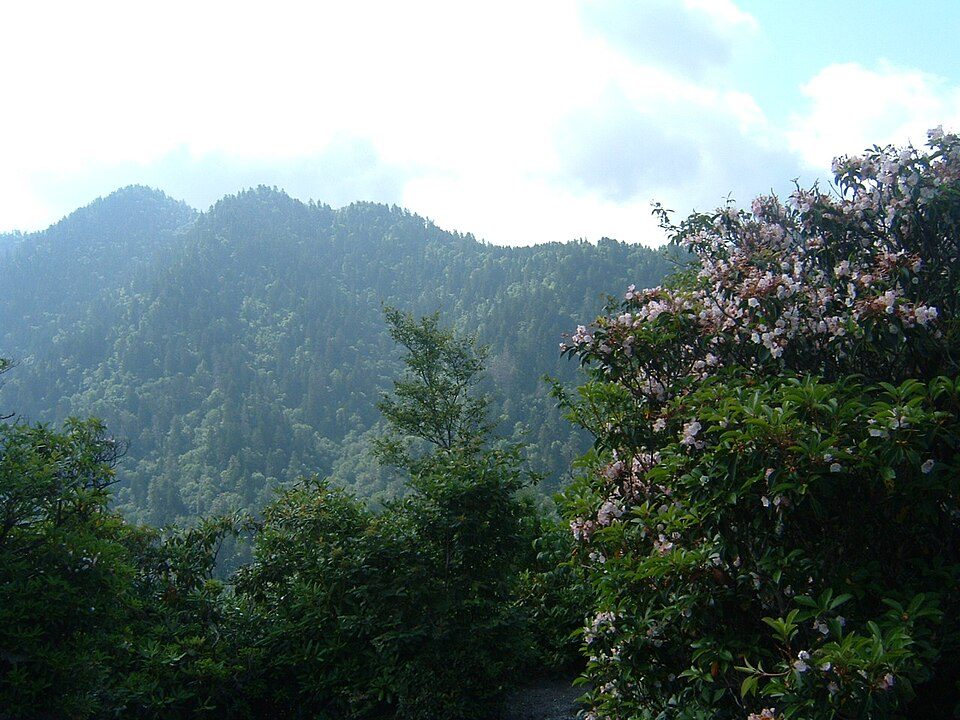 Big draw127 mi National ParkGreat Smoky Mountains National Park11.5M visitors a year
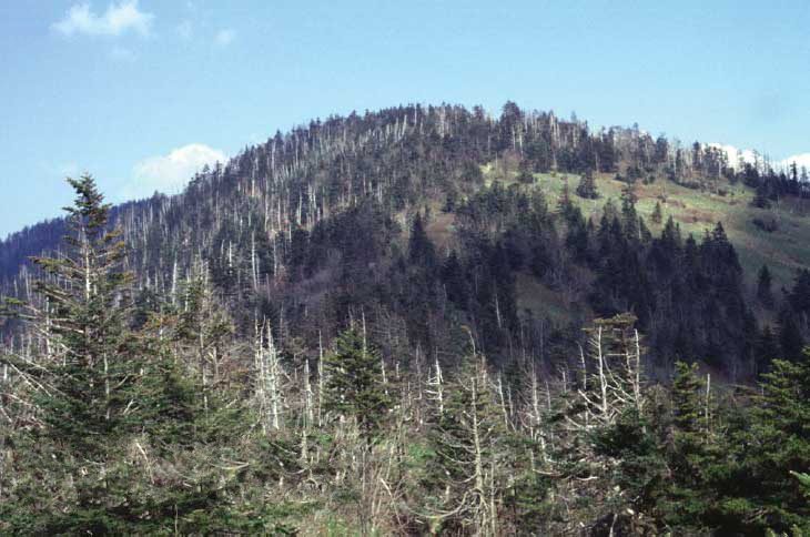 Big draw223 mi MountainKuwohi
 Big draw54 mi Stadium & arenaNeyland Stadium
 329 mi MountainBrasstown Bald33 mi Theme parkGhost Town in the Sky
 430 mi MountainMount Le Conte
 56 mi Stadium & arenaMemorial Stadium, Clemson
Photo credits
Dollywood: Brian Stansberry (photographer), CC BY 2.5 · Great Smoky Mountains National Park: Scott Basford, CC BY-SA 3.0 · Kuwohi: C. Kenneth Dodd, Jr., Public domain · Neyland Stadium: Neomrbungle, CC BY-SA 4.0 · Brasstown Bald: Unknown, Public domain · Mount Le Conte: No machine-readable author provided. Blinutne assumed (based on copyright claims, CC BY-SA 3.0 · Memorial Stadium, Clemson: Caseyh at English Wikipedia, CC BY-SA 3.0


A visit to Nantahala National Forest: questions
What town is Nantahala National Forest near?
Franklin, NC, about 11 miles east.
When is the best time to visit Nantahala National Forest?
April, May, June, September and October, with highs of 70–83°.
What is the closest airport to Nantahala National Forest?
McGhee Tyson (TYS), about 47 miles away.
Where should I stay near Nantahala National Forest?
Bryson City (15 mi, 61 places to stay), Franklin (11 mi, 24 places to stay) and Pigeon Forge (39 mi, 358 places to stay).
Tips from people in Franklin
Questions and tips go in Franklin’s Town Square.
Sources: National Park Service · ski areas © OpenSkiMap / OpenStreetMap contributors · Wikidata · Wikipedia readership · NOAA climate normals · U.S. Census.