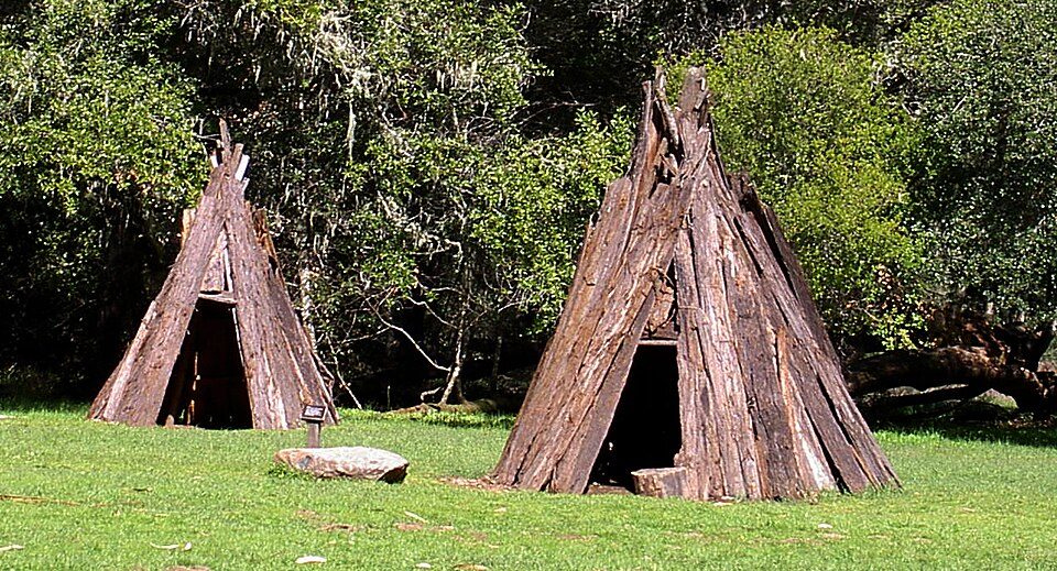
Kule Loklo
Kule Loklo ("Bear Valley") is a recreated Coast Miwok Native American village located a short walk from the visitor center of the Point Reyes National Seashore. Its location is 3 mi south of Point Reyes Station. Look also at Muir Woods, 17 mi away.

A museum, 3 mi south of Point Reyes Station
Point Reyes Station is the nearest base
Point Reyes Station is 3 miles north, with 8 places to stay. Where to stay ↓
A day trip from San Jose
San Jose is about 75 miles southeast (straight-line). Where to stay ↓
Best months: May, Jun, Jul, Aug, Sep and Oct
May, June, July, August, September and October are the mild months, with highs of 63–69°. When to go ↓
Written from NOAA 1991–2020 normals, Overture places to stay, Census town figures and Wikipedia.
Highs and lows by month
Every month near Kule Loklo is set out below.
Kule Loklo
Kule Loklo ("Bear Valley") is a recreated Coast Miwok Native American village located a short walk from the visitor center of the Point Reyes National Seashore, in Marin County, California. Kule Loklo was originally created in the 1970s by the Miwok Archeological Preserve of Marin (MAPOM) as a tribute to Marin County's indigenous people, the Coast Miwoks.
In 1992, the ceremonial roundhouse at Kule Loklo was destroyed by an arsonist; through an outpouring of community support, it was replaced with a larger roundhouse in 1993. As of 2022, the roundhouse is in disrepair.
- Type
- Museum
- Wikipedia readers
- 1.1K a year
Overnight near Kule Loklo
To stay close, try San Francisco (528) and Inverness (14).
- 1Alcatraz Federal Penitentiary
- 2Presidio of San Francisco
- 3Lombard Street
- 4Chase Center
- 5Oracle Park
- 6Muir Woods
San Francisco
The closest town with somewhere to stay.
826,079 people
28 mi southeast of Kule Loklo
Compare 8 towns
| Town | From Kule Loklo | Drive | Places to stay | People | Typical home | Safety |
|---|---|---|---|---|---|---|
| San Francisco | 28 mi southeast | 40 min | 528 426 hotels · 24 motels · 37 inns & B&Bs · 5 lodges & cabins · 27 hostels · 6 campgrounds · 3 RV parks | 826,079 | $1,395K | D |
| Inverness 25% vacation homes | 4 mi northwest | 5 min | 14 1 hotel · 1 motel · 6 inns & B&Bs · 5 lodges & cabins · 1 campground | 1,346 | $1,873K | — |
| Point Reyes Station | 3 mi north | 5 min | 8 2 hotels · 6 inns & B&Bs | 517 | $1,603K | — |
| Novato | 14 mi east | 20 min | 13 10 hotels · 1 inn or B&B · 2 RV parks | 51,947 | $1,033K | C+ |
| San Rafael | 17 mi east | 25 min | 18 15 hotels · 1 motel · 2 inns & B&Bs | 59,410 | $1,356K | D |
| Petaluma | 17 mi northeast | 25 min | 17 11 hotels · 1 motel · 1 inn or B&B · 1 lodge or cabins · 3 campgrounds | 59,688 | $879K | C+ |
| Santa Rosa | 28 mi north | 40 min | 42 28 hotels · 3 motels · 7 inns & B&Bs · 3 lodges & cabins · 1 RV park | 179,437 | $714K | C |
| Sonoma | 25 mi northeast | 40 min | 25 13 hotels · 9 inns & B&Bs · 3 lodges & cabins | 10,537 | $971K | B |
Day trip from
Straight-line miles.
Getting there
Nearest airports with airline service
Worth adding to a visit
Within 64 miles you can add these well-known places.
 Big draw126 mi MuseumAlcatraz Federal Penitentiary
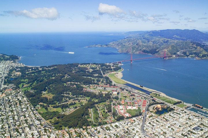 Big draw225 mi GardenPresidio of San Francisco
 Big draw327 mi LandmarkLombard Street
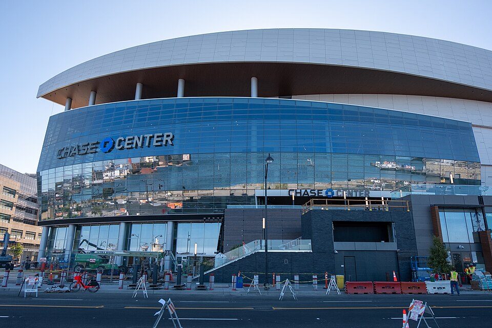 Big draw430 mi Stadium & arenaChase Center
 Big draw33 mi MuseumUSS Hornet
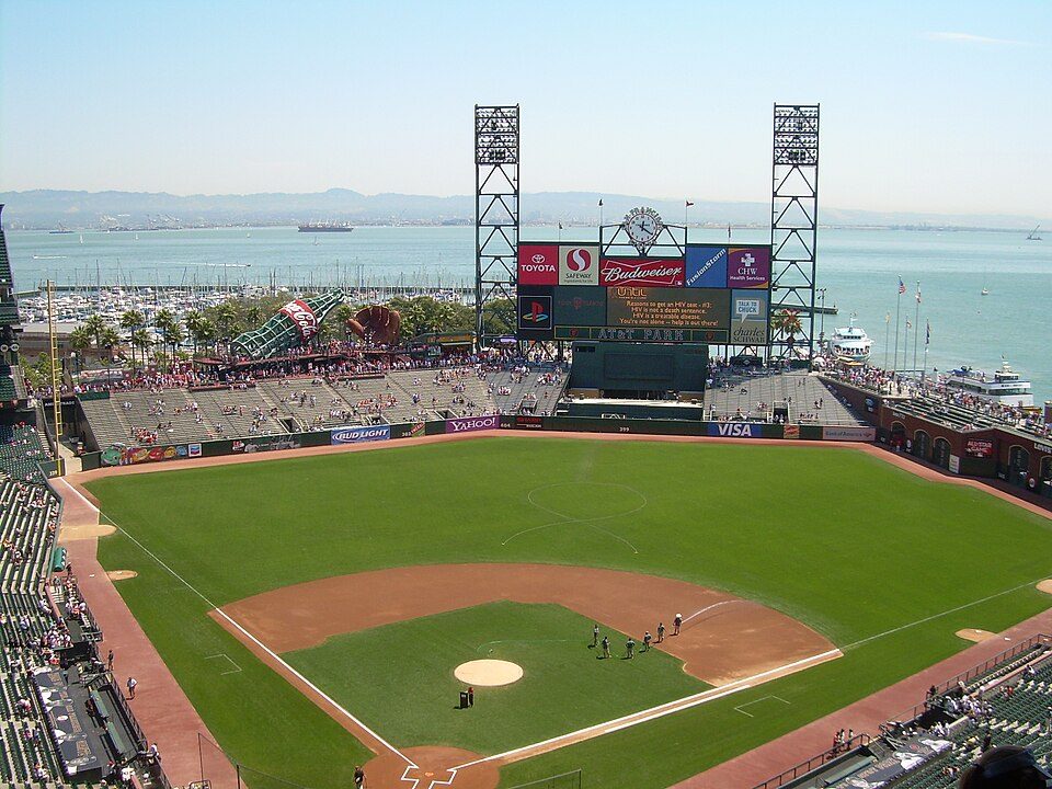 Big draw529 mi Stadium & arenaOracle Park
 617 mi National MonumentMuir Woods National Monument757K visitors a year
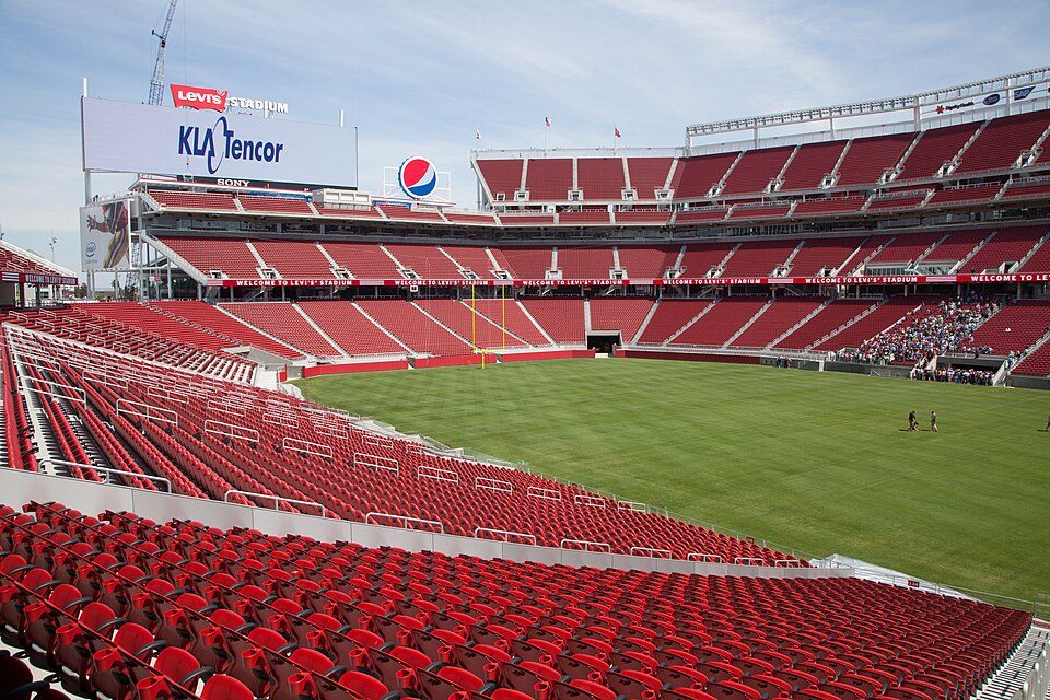 Big draw64 mi Stadium & arenaLevi's Stadium
Photo credits
Alcatraz Federal Penitentiary: druchoy, CC BY-SA 2.0 · Presidio of San Francisco: Robert Campbell, CC BY-SA 3.0 · Lombard Street: The original uploader was Y6y6y6 at English Wikipedia., Public domain · Chase Center: Gregory Varnum, CC BY-SA 4.0 · USS Hornet: kitmasterbloke, CC BY 2.0 · Oracle Park: User Coasttocoast on en.wikipedia, CC BY-SA 3.0 · Muir Woods National Monument: Unknown, CC BY-SA 3.0 · Levi's Stadium: Matthew Roth, CC BY-SA 2.0


What people ask about Kule Loklo
What town is Kule Loklo near?
Point Reyes Station, CA, about 3 miles north.
When is the best time to visit Kule Loklo?
May, June, July, August, September and October, with highs of 63–69°.
How far is Kule Loklo from Oakland and San Jose?
About 37 miles southeast of Oakland and about 75 miles southeast of San Jose, as the crow flies.
What is the closest airport to Kule Loklo?
Charles M. Schulz Sonoma County (STS), about 32 miles away. The nearest big hub is San Francisco (SFO), about 38 miles.
Where should I stay near Kule Loklo?
San Francisco (28 mi, 528 places to stay), Inverness (4 mi, 14 places to stay) and Point Reyes Station (3 mi, 8 places to stay).
From people who live in Point Reyes Station
Questions and tips go in Point Reyes Station’s Town Square.
Sources: National Park Service · ski areas © OpenSkiMap / OpenStreetMap contributors · Wikidata · Wikipedia readership · NOAA climate normals · U.S. Census.