
King's Peak
Kings Peak is a 13,528-foot (4,123 m) mountain in the U.S. state of Utah, the state's highest. Look for it 28 mi south of Robertson. Expect 71–79°F afternoons in the mildest months, June to August.

A mountain, 28 mi south of Robertson
Plan where you’ll sleep
No town within 30 miles has many hotels or campgrounds. Look at the towns below, or plan to camp. Where to stay ↓
Winters are cold
January nights drop to 10°, with about 64" of snow a year. When to go ↓
Best months: Jun, Jul and Aug
June, July and August are the mild months, with highs of 71–79°. When to go ↓
Written from NOAA 1991–2020 normals, Overture places to stay, Census town figures, Wikidata and Wikipedia.
Month by month
Here are the months at King's Peak, with their weather.
King's Peak
Kings Peak is a 13,528-foot (4,123 m) mountain in the U.S. state of Utah,
the state's highest.
- Type
- Mountain
- Elevation
- 13,527 ft
- Wikipedia readers
- 33K a year
A base for King's Peak
Towns within 30 miles, best bases first.
Robertson
The closest town with somewhere to stay.
76 people · 44% vacation homes
28 mi north of King's Peak
Compare 3 towns
Getting there
Nearest airports with airline service
Other places close by
Also within 70 miles are these.
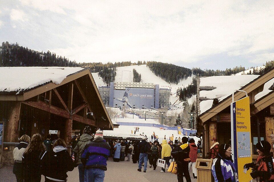 59 mi Ski areaDeer Valley Resort351 runs · 3,110 ft vertical
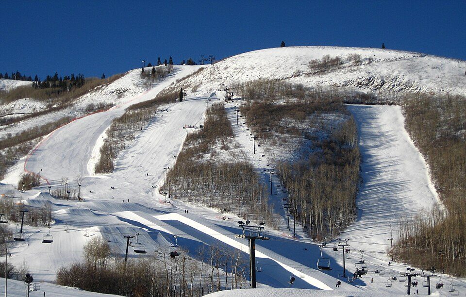 62 mi Ski areaPark City Mountain Resort393 runs · 3,100 ft vertical68 mi Ski areaSnowbird205 runs · 3,225 ft vertical
 70 mi Canyon & gorgeBig Cottonwood Canyon
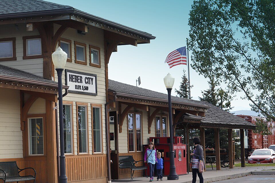 58 mi Scenic railwayHeber Valley Railroad68 mi Ski areaAlta Ski Area136 runs · 2,770 ft vertical
 69 mi Canyon & gorgeNinemile Canyon65 mi Ski areaBrighton Resort90 runs · 1,864 ft vertical
Photo credits
Deer Valley Resort: Ken Lund from Las Vegas, Nevada, USA, CC BY-SA 2.0 · Park City Mountain Resort: Rudi Riet from Washington, DC, United States, CC BY-SA 2.0 · Big Cottonwood Canyon: PeteysHead, CC BY-SA 3.0 · Heber Valley Railroad: Ravi Rishi, CC BY-SA 4.0 · Ninemile Canyon: Scott Catron, CC BY 2.5


King's Peak in questions
What town is King's Peak near?
Robertson, WY, about 28 miles north.
When is the best time to visit King's Peak?
June, July and August, with highs of 71–79°.
What is the closest airport to King's Peak?
Vernal Regional (VEL), about 51 miles away. The nearest big hub is Salt Lake City (SLC), about 84 miles.
Advice from Robertson
People in Robertson have not posted tips yet; their Town Square is open.
Sources: National Park Service · ski areas © OpenSkiMap / OpenStreetMap contributors · Wikidata · Wikipedia readership · NOAA climate normals · U.S. Census.