
Big Cottonwood Canyon
Big Cottonwood Canyon is a canyon in the Wasatch Range 12 miles (19 km) southeast of Salt Lake City in the U.S. state of Utah. Its location is 5 mi northwest of Brighton. The first name on our list around it is Delta Center, 14 mi away.

A canyon & gorge, 5 mi northwest of Brighton
Winters are cold
January nights drop to 16°, with about 458" of snow a year. When to go ↓
Brighton is the nearest base
Brighton is 5 miles southeast, with 22 places to stay. Where to stay ↓
Best months: Jun, Jul and Aug
June, July and August are the mild months, with highs of 64–72°. When to go ↓
Written from NOAA 1991–2020 normals, Overture places to stay, Census town figures, Wikidata and Wikipedia.
When to go
Use the months below to time a visit to Big Cottonwood Canyon.
Big Cottonwood Canyon
Big Cottonwood Canyon is a canyon in the Wasatch Range 12 miles (19 km) southeast of Salt Lake City in the U.S. state of Utah. The 15-mile (24 km)-long canyon provides hiking, biking, picnicking, rock-climbing, camping, and fishing in the summer. Its two ski resorts, Brighton and Solitude, are popular among skiers and snowboarders. The canyon is accessed by The Big Cottonwood Canyon Scenic Byway (SR-190), which runs its length to Guardsman Pass at the top of the canyon, allowing travel to Park City in the summer months.
Hiking to the canyon's mountain lakes is popular, with many trails leading to lakes such as Mary, Martha, and Katherine. The canyon's most popular hiking trail leads to Lakes Blanche, Florence and Lillian. The trail is 3.1 miles (5.0 km) long and a strenuous hike. Since the canyon was formed by Big Cottonwood Creek, the V-shaped canyon has many impressive rock forms.
- Type
- Canyon & gorge
- Elevation
- 4,734 ft
- Wikipedia readers
- 9.1K a year
Overnight near Big Cottonwood Canyon
For a bed close by, look to Park City (93) and Salt Lake City (109).
Park City
The closest town with somewhere to stay.
8,587 people · 49% vacation homes
10 mi east of Big Cottonwood Canyon
Compare 8 towns
| Town | From Big Cottonwood Canyon | Drive | Places to stay | People | Typical home | Safety |
|---|---|---|---|---|---|---|
| Park City 49% vacation homes | 10 mi east | 15 min | 93 66 hotels · 4 inns & B&Bs · 22 lodges & cabins · 1 hostel | 8,587 | $1,758K | C− |
| Salt Lake City | 16 mi northwest | 25 min | 109 85 hotels · 9 motels · 7 inns & B&Bs · 3 hostels · 3 campgrounds · 2 RV parks | 218,428 | $540K | D− |
| Snyderville 36% vacation homes | 9 mi northeast | 15 min | 37 34 hotels · 2 lodges & cabins · 1 RV park | 5,948 | $1,104K | — |
| Brighton 73% vacation homes | 5 mi southeast | 5 min | 22 9 hotels · 1 inn or B&B · 9 lodges & cabins · 3 campgrounds | 429 | $888K | — |
| Alta 59% vacation homes | 5 mi southeast | 10 min | 22 12 hotels · 10 lodges & cabins | 227 | $2,000K | — |
| Sandy | 10 mi southwest | 15 min | 16 12 hotels · 1 motel · 1 inn or B&B · 2 lodges & cabins | 92,386 | $614K | C |
| Murray | 10 mi west | 15 min | 15 13 hotels · 1 motel · 1 RV park | 53,297 | $508K | D |
| Midvale | 11 mi west | 15 min | 14 11 hotels · 3 motels | 36,099 | $437K | — |
Getting there
Nearest airports with airline service
Worth adding to a visit
Within 60 miles you can add these well-known places.
 Big draw114 mi Stadium & arenaDelta Center
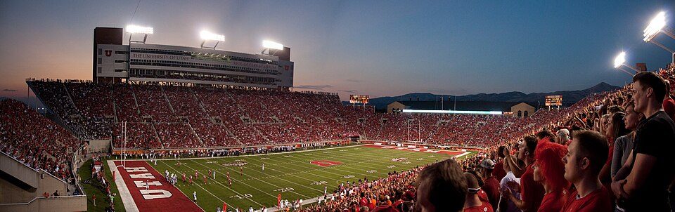 212 mi Stadium & arenaRice–Eccles Stadium
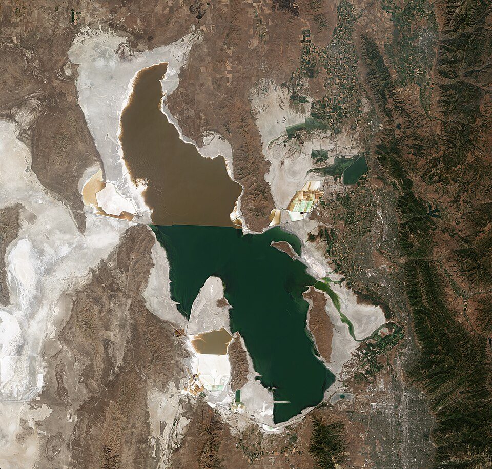 Big draw59 mi LakeGreat Salt Lake
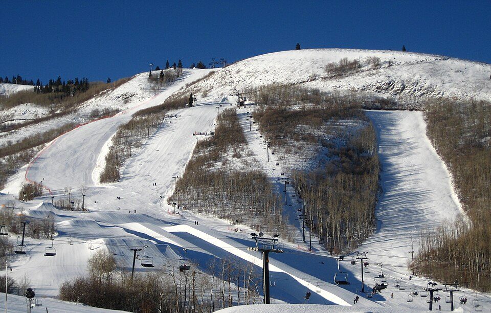 38 mi Ski areaPark City Mountain Resort393 runs · 3,100 ft vertical
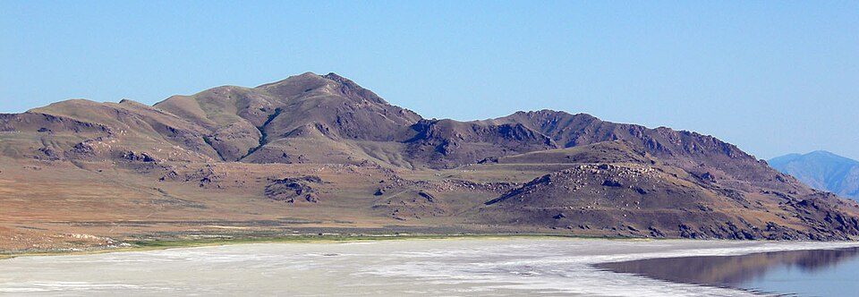 31 mi LakeLake Bonneville
 411 mi Stadium & arenaAmerica First Field
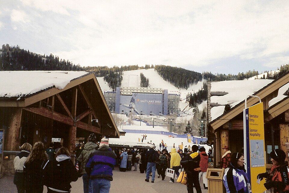 511 mi Ski areaDeer Valley Resort351 runs · 3,110 ft vertical620 mi Theme parkEvermore Park
Photo credits
Delta Center: Lomrjyo, CC BY-SA 4.0 · Rice–Eccles Stadium: Brenton Walker, CC BY 2.0 · Great Salt Lake: Copernicus Sentinel-2, ESA, CC BY-SA 3.0 igo · Park City Mountain Resort: Rudi Riet from Washington, DC, United States, CC BY-SA 2.0 · Lake Bonneville: Wilson44691, Public domain · America First Field: Scott Catron, CC BY-SA 2.0 · Deer Valley Resort: Ken Lund from Las Vegas, Nevada, USA, CC BY-SA 2.0


Big Cottonwood Canyon: what to know
What town is Big Cottonwood Canyon near?
Brighton, UT, about 5 miles southeast.
When is the best time to visit Big Cottonwood Canyon?
June, July and August, with highs of 64–72°.
What is the closest airport to Big Cottonwood Canyon?
Salt Lake City (SLC), about 18 miles away.
Where should I stay near Big Cottonwood Canyon?
Park City (10 mi, 93 places to stay), Salt Lake City (16 mi, 109 places to stay) and Snyderville (9 mi, 37 places to stay).
Tips from Brighton
Share what you know in Brighton’s Town Square.
Sources: National Park Service · ski areas © OpenSkiMap / OpenStreetMap contributors · Wikidata · Wikipedia readership · NOAA climate normals · U.S. Census.