Hanna–Barbera Land
Hanna-Barbera Land was a theme park based on the cartoons of the Hanna-Barbera animation studio. It lies in Spring itself. Our list goes on with Daikin Park, 22 mi away.
A theme park inside Spring
Summers are hot
July and August highs run 94–95°, and about 111 days a year reach 90°. When to go ↓
You can stay in Spring
Hanna–Barbera Land is inside Spring, which has 9 places to stay, so you won’t need a base farther out. Where to stay ↓
Best months: Jan, Feb, Mar, Apr, Oct, Nov and Dec
January, February, March, April, October, November and December are the mild months, with highs of 63–82°. When to go ↓
An airport 8 miles away
George Bush Intercontinental (IAH) has airline service, about 8 miles from Hanna–Barbera Land.
Open since 1984
Hanna–Barbera Land opened in 1984, 42 years ago. About ↓
Written from NOAA 1991–2020 normals, Overture places to stay, Census town figures and Wikipedia.
Picking a season
Here is how the weather at Hanna–Barbera Land changes month by month.
Hanna–Barbera Land
Hanna-Barbera Land was a theme park based on the cartoons of the Hanna-Barbera animation studio. It was located in Spring, Texas, United States, north of Houston, and operated for the 1984 and 1985 seasons. After the park's closure following the 1985 season, the rides were sold and the land was reused as a water park, which is now operating as Six Flags Hurricane Harbor SplashTown.
- Type
- Theme park
- Opened
- 1984
- Owner
- Kings Entertainment Company
- Wikipedia readers
- 4.7K a year
Hotels and campgrounds near Hanna–Barbera Land
Places to stay start in Spring (9) and Houston (947).
Compare 8 towns
| Town | From Hanna–Barbera Land | Drive | Places to stay | People | Typical home | Safety |
|---|---|---|---|---|---|---|
| Spring | in town | — | 9 3 hotels · 1 inn or B&B · 2 lodges & cabins · 1 campground · 2 RV parks | 68,580 | $232K | — |
| Houston | 20 mi south | 30 min | 947 737 hotels · 121 motels · 32 inns & B&Bs · 19 lodges & cabins · 9 hostels · 9 campgrounds · 20 RV parks | 2,397,315 | $278K | D− |
| Shenandoah | 8 mi north | 10 min | 15 15 hotels | 3,833 | $395K | D− |
| The Woodlands | 9 mi northwest | 15 min | 14 14 hotels | 121,002 | $512K | — |
| Conroe | 18 mi north | 25 min | 43 31 hotels · 2 motels · 2 lodges & cabins · 4 campgrounds · 4 RV parks | 119,564 | $310K | C+ |
| Humble | 12 mi southeast | 15 min | 18 14 hotels · 2 motels · 1 inn or B&B · 1 campground | 16,484 | $216K | D− |
| Tomball | 11 mi west | 15 min | 15 10 hotels · 2 motels · 3 RV parks | 15,768 | $364K | C− |
| Aldine | 11 mi south | 15 min | 9 3 hotels · 1 motel · 2 lodges & cabins · 3 RV parks | 17,167 | $103K | — |
Getting there
Nearest airports with airline service
Places to add to Hanna–Barbera Land
Also within 66 miles are these.
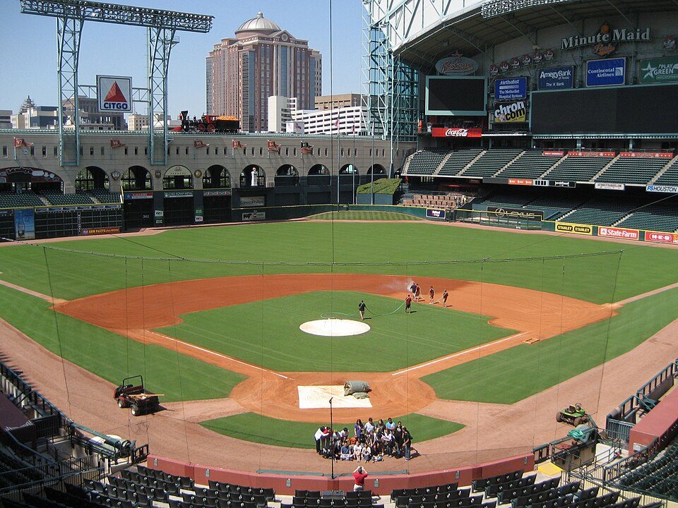 Big draw122 mi Stadium & arenaDaikin Park
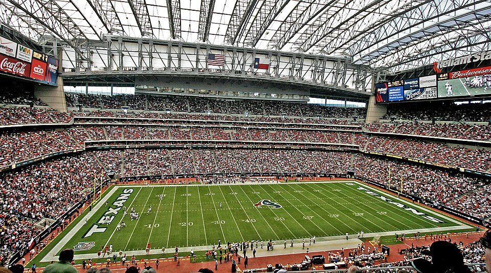 Big draw227 mi Stadium & arenaReliant Stadium
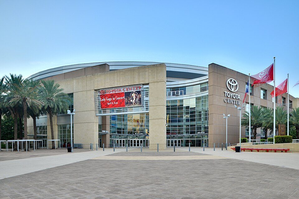 322 mi Stadium & arenaToyota Center
 423 mi MuseumRothko Chapel
 Big draw66 mi Stadium & arenaKyle Field
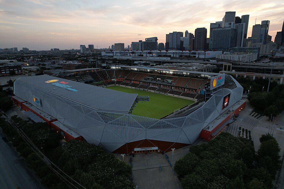 522 mi Stadium & arenaShell Energy Stadium
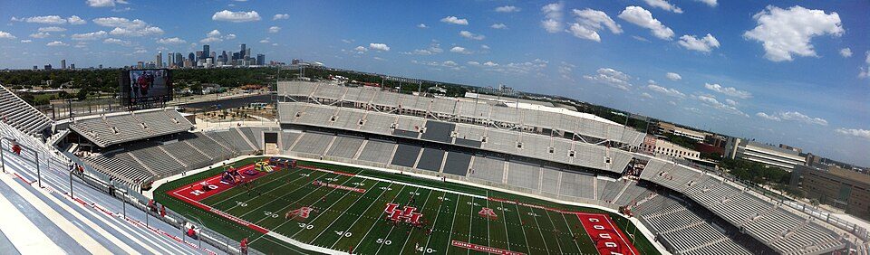 625 mi Stadium & arenaTDECU Stadium
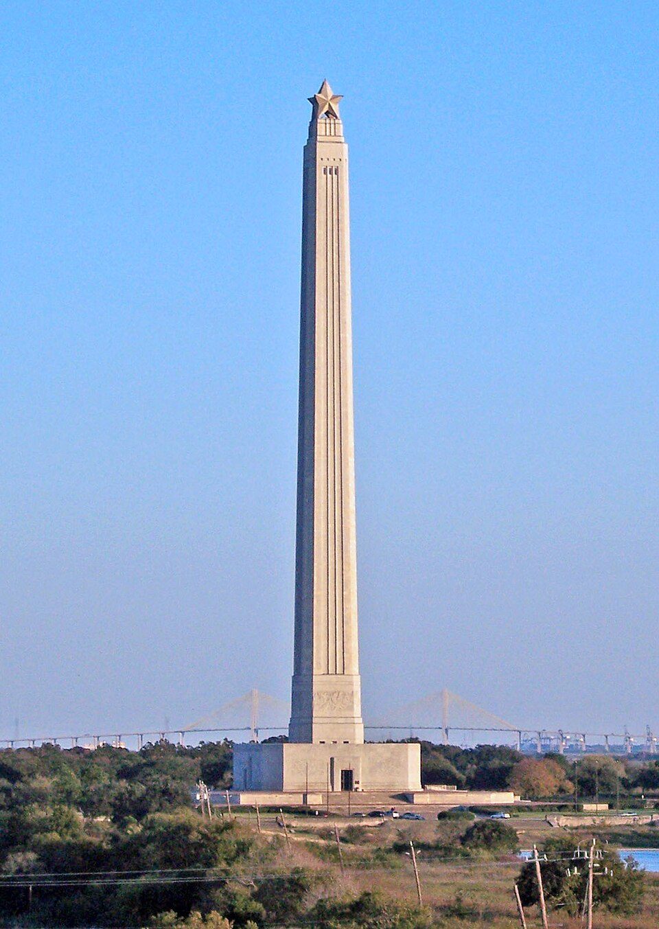 31 mi LandmarkSan Jacinto Monument
Photo credits
Daikin Park: Delaywaves, CC BY 3.0 · Reliant Stadium: User eschipul on Flickr, CC BY-SA 2.0 · Toyota Center: Ed Uthman from Houston, TX, USA, CC BY 2.0 · Rothko Chapel: Unknown, Public domain · Kyle Field: Janreagan at English Wikipedia, CC BY-SA 4.0 · Shell Energy Stadium: HDFC PR, CC BY-SA 4.0 · TDECU Stadium: Brian Reading, CC BY-SA 4.0 · San Jacinto Monument: Tijuana Brass at English Wikipedia, Public domain


Asked about Hanna–Barbera Land
Is Hanna–Barbera Land in Spring?
Yes. It’s inside Spring, TX.
When is the best time to visit Hanna–Barbera Land?
January, February, March, April, October, November and December, with highs of 63–82°.
What is the closest airport to Hanna–Barbera Land?
George Bush Intercontinental (IAH), about 8 miles away.
Where should I stay near Hanna–Barbera Land?
Houston (20 mi, 947 places to stay), Shenandoah (8 mi, 15 places to stay) and Spring (in town, 9 places to stay).
Advice from Spring
Nobody has posted a tip yet; ask or answer in Spring’s Town Square.
Sources: National Park Service · ski areas © OpenSkiMap / OpenStreetMap contributors · Wikidata · Wikipedia readership · NOAA climate normals · U.S. Census.