
Forest Bridge in, 2005
The Woodlands’s story
52 years in pictures
Census counts: 8,443 in 1980, 114,436 in 2020. The archive holds 6 old photos and papers going back to 2005 and 2 maps from 1961 on.
- 1974The Woodlands is settled
Each edition grades its towns against each other only.

A city of 121,002, settled in 1974. 12.4% of it is conserved land.
The Woodlands is a city of 121,002, and it grades A− overall, 54th among Texas's 640 graded towns. CDC estimates put its residents' health ahead of 94% of the country and the median household earns $141K. The trade-off: the typical home is worth about $512K, 6.2 years of the Houston metro’s $82K median household income. 66% of adults 25 and older hold a bachelor’s degree or more in The Woodlands, above both Texas’ towns (23%) and U.S. towns (29%). On the outdoors, just 9 of Texas’ 1,000 towns do better. The Woodlands is home to Lone Star College System.
Where The Woodlands beats most towns.
93,847 counted in 2010 and 114,436 in 2020.
U.S. Census 2010 & 2020 counts
Each subject compared with towns across the country (schools within Texas), ordered by how far The Woodlands is from typical.
How TownRatings grades towns →
Census counts: 8,443 in 1980, 114,436 in 2020. The archive holds 6 old photos and papers going back to 2005 and 2 maps from 1961 on.
The Woodlands is unincorporated, so Harris County and regional agencies provide most services.
EPA SDWIS (Oct 9, 2026) · HIFLD + EIA-861 2025 · Census 2020 ZCTAs · NCES 2024–25 · registration: vote.gov, updated Nov 18, 2024.
Ordered by what stands out in The Woodlands.
The Woodlands has milder winter nights than nearly all U.S. towns and has less food insecurity than most of Texas, but it has homes that cost more against local pay than most of Texas.
Its A+ for the outdoors ranks #9 of 642 in Texas.
George Mitchell Nature Preserve, at 2,129 acres with 24.5 miles of trail, is the biggest park or preserve. Walkers can cover 146 miles of trail in 90 parks and preserves.
| Biggest places to walk | Trails | Acres |
|---|---|---|
| 1. George Mitchell Nature Preserve | 24.5 mi | 2,129 |
| 2. Bear Branch Park | 1.1 mi | 19 |
| 3. Cattail Park | 0.7 mi | 13 |
Trails & parks © OpenStreetMap contributors · Conserved land: USGS PAD-US
The public schools here belong to Conroe ISD. Three of its 41 schools are below, each with the reason it’s listed. The 6 public schools in The Woodlands teach 5,815 students between them.
| School | Level | Students | Letter |
|---|---|---|---|
| McCullough J HLargest public middle schoolGrades 7–8 | Grades 7–8 | 2,195 | A+ |
| The Woodlands H SLargest public high schoolGrades 9–12 | Grades 9–12 | 4,444 | A+ |
| Creekside Forest ElTop results in townGrades PK–5 | Grades PK–5 | 676 | A+ |
NCES · EDFacts · graded within TX on state tests and graduation
Its widest gap with Texas is food insecurity: 8.7% of its 84,570 adults worry about having enough food, against 19.3% statewide.
A tenth of The Woodlands adults report frequent physical distress. The town beats the Texas average on 20 of 31 CDC measures and trails it on 1. Two figures for adults here: 18% get no exercise outside work, 14% report frequent mental distress.
| The Woodlands | Texas towns | U.S. towns | |
|---|---|---|---|
| Frequent physical distress (CDC PLACES) | 10% | 15% | 14% |
| Get no exercise (CDC PLACES) | 18% | 30% | 25% |
| Frequent mental distress (CDC PLACES) | 14% | 18% | 17% |
| Fair or poor health (CDC PLACES) | 13% | 24% | 19% |
| What stands out | The Woodlands | TX |
|---|---|---|
| Fewer adults facing food insecurity | 8.7% | 19.3% |
| Fewer uninsured adults | 8.8% | 19.1% |
| More adults who have had cancer | 8.1% | 6.1% |
CDC PLACES 2025 · modeled estimates for adults · CMS · HRSA
January nights average 42.1°, milder than in 95% of U.S. towns; July afternoons average 94.2°.
For The Woodlands, the midsummer high is 94°F. Snow is almost unheard of.
| The Woodlands | Texas towns | U.S. towns | |
|---|---|---|---|
| January low | 42°F | 37°F | 22°F |
| July high | 94°F | 95°F | 85°F |
NOAA U.S. Climate Normals, 1991–2020
Jobs based here grew from 43,989 in 2013 to 64,597.
The top destinations are Houston (32%), Conroe (8%) and Austin (2%). Only 15% of working residents stay in The Woodlands for work; the rest commute out. This Texas town had 64,597 jobs in 2023, up 20,608 from 2013. For workers here, the share who do their job from home is 22%.
| The Woodlands | Texas towns | U.S. towns | |
|---|---|---|---|
| Median household income | $141,000 | $69,000 | $80,000 |
| Work from home | 22% | 9.6% | 11% |
| Below the poverty line | 5.6% | 12% | 9.6% |
| Working residents who work in town | 15% | 8.3% | 8% |
Census LEHD 2023 · ACS
At 6.2 years of the Houston metro’s $82K median household income, the typical home costs more against local pay than in 91% of Texas towns; that ratio is one input to its D for cost of living. The median property tax bill is $8,062, against $4,232 across Texas, another input to its cost-of-living grade.
The Woodlands’ rent at the middle of the market stands at $1,822 a month. A home in The Woodlands typically sold within 21 days of listing. Sellers in The Woodlands got 98% of the asking price, typically.
| The Woodlands | Texas towns | U.S. towns | |
|---|---|---|---|
| Median rent | $1,822 a month | $1,206 a month | $1,185 a month |
| Renters paying 30%+ of income on rent | 47% | 51% | 48% |
Census ACS, 2020–24 · Zillow Home Value Index · Redfin Data Center
Since 1978, 361 flood insurance claims have been paid out in The Woodlands. Storm and flood damage is expected to run higher than in half of U.S. communities. Expected losses in The Woodlands break down as 48% from inland flooding and 24% from tornadoes. Households here have drawn federal disaster aid in 9 declared disasters, most recently in 2024.
FEMA flood insurance claims · FEMA disaster declarations and aid · FEMA National Risk Index · OpenFEMA
Museums, parks, gardens and other places to visit around The Woodlands. Close and well known come first.
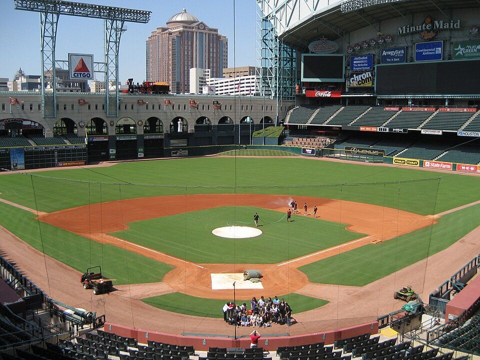 Big draw30 mi Stadium & arenaDaikin Park
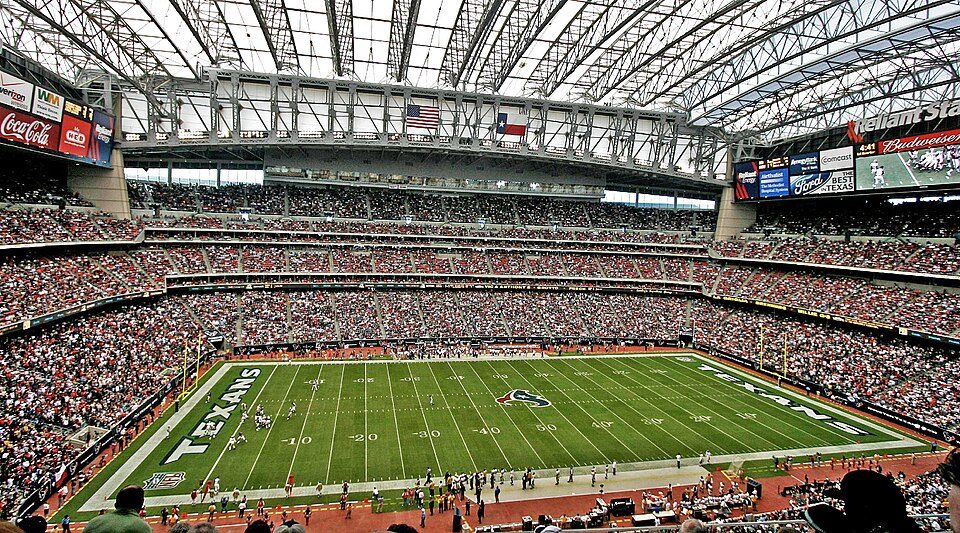 Big draw34 mi Stadium & arenaReliant Stadium
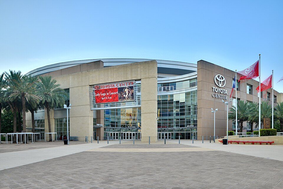 30 mi Stadium & arenaToyota Center
 in town TheatreCynthia Woods Mitchell Pavilion
 31 mi MuseumRothko Chapel
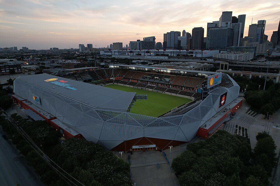 31 mi Stadium & arenaShell Energy Stadium
Daikin Park: Delaywaves, CC BY 3.0 · Reliant Stadium: User eschipul on Flickr, CC BY-SA 2.0 · Toyota Center: Ed Uthman from Houston, TX, USA, CC BY 2.0 · Cynthia Woods Mitchell Pavilion: WhisperToMe, CC0 · Rothko Chapel: Unknown, Public domain · Shell Energy Stadium: HDFC PR, CC BY-SA 4.0
3 within 15 miles of the center of The Woodlands
About 5 of every 100 The Woodlands residents are enrolled in college, about the same as Texas.
12.4% of the town is conserved land, across 90 parks and preserves.
8 notable people were born in The Woodlands.


CDP and SPD in Texas, United States
The Woodlands is a special-purpose district and census-designated place in the U.S. state of Texas. The Woodlands is primarily located in Montgomery County, with portions extending into Harris County, within the Greater Houston metropolitan area. The population was 114,436 at the 2020 census. The Woodlands area is governed by The Woodlands Township, an organization that provides municipal services and is administered by an elected board of directors. The United States Census Bureau defines an urban area separate from the Houston urban area with The Woodlands as a principal city: The Woodlands–Conroe urban area had a population of 402,454 in 2020, making it the 103rd-largest in the United St…
From Wikipedia, licensed CC BY-SA 4.0 · facts via Wikidata (CC0)
4 towns share a border with The Woodlands.
At #54 in TX, it grades higher overall than all 4 graded towns on its borders; Oak Ridge North (B+) comes closest.
| Town | TX rank | Overall | Cost | Safety | Schools | Health |
|---|---|---|---|---|---|---|
| The Woodlands | #54 | A− | D | — | A− | A |
| Shenandoah | #334 | C | D | D− | A− | A |
| Conroe | #261 | C+ | D | C+ | A− | B− |
| Houston | #606 | D− | C− | D− | C− | C+ |
| Oak Ridge North | #82 | B+ | C | C+ | A− | A− |
The Woodlands reports no FBI crime data of its own. Compare The Woodlands with a neighbor →
Short answers, built from the data on this page.
By most measures, yes. The Woodlands grades A− overall, better than 76% of U.S. towns and #54 of 640 in Texas. It grades A for health and A− for schools. Cost of living is its weak spot, with a D.
Yes. The typical home is worth about $512,000, 73% above the Texas typical home. Cost of living, which also weighs rents, property taxes and how many households pay 30% or more of their income for housing, grades D.
8 notable people were born here, including Kirby Bliss Blanton and Danny Amendola.


