
Freedom Riders National Monument
The Freedom Riders National Monument is a United States National Monument in Anniston, Alabama. It is managed by the National Park Service. Further out, Cheaha Mountain is 12 mi away.

A national monument, 2 mi southwest of Anniston
Anniston is the nearest base
Anniston is 2 miles northeast, with 13 places to stay. Where to stay ↓
A day trip from Atlanta
Atlanta is about 81 miles east (straight-line). Where to stay ↓
Best months: Mar, Apr, May, Oct and Nov
March, April, May, October and November are the mild months, with highs of 64–81°. When to go ↓
Established in 2017
Freedom Riders National Monument dates from 2017 and is run by National Park Service. About ↓
Written from NOAA 1991–2020 normals, Overture places to stay, Census town figures, Wikidata and Wikipedia.
Choosing a month
Here are the months at Freedom Riders, with their weather.
Freedom Riders National Monument
The Freedom Riders National Monument is a United States National Monument in Anniston, Alabama. It was established by President Barack Obama in January 2017 in order to preserve and commemorate Freedom Riders who travelled by bus in mixed black/white groups across the Deep South as part of a protest against racial segregation in Jim Crow states.
The monument marks the location of the Anniston bus attacks, in which two buses of Freedom Riders were violently attacked by white supremacists, all with the approval of the local police. The attacks were widely publicized, and are considered a significant event within the Civil Rights Movement.
- Type
- National Monument
- Established
- 2017
- Run by
- National Park Service
- Wikipedia readers
- 1.8K a year
- Official site
- nps.gov/frri
Useful details
Hotels and campgrounds near Freedom Riders National Monument
The nearest towns with places to stay are Oxford (27) and Anniston (13).
Oxford
The closest town with somewhere to stay.
22,199 people
5 mi southwest of Anniston Greyhound Bus Depot · 3 mi to the park
Compare 8 towns
| Town | From the visitor center | Drive | Places to stay | People | Typical home | Safety |
|---|---|---|---|---|---|---|
| Oxford | 5 mi southwest | 5 min | 27 21 hotels · 4 motels · 1 inn or B&B · 1 campground | 22,199 | $171K | C− |
| Anniston | 2 mi northeast | 5 min | 13 3 hotels · 3 motels · 3 inns & B&Bs · 2 lodges & cabins · 1 campground · 1 RV park | 20,930 | $159K | D− |
| Lincoln | 18 mi west | 25 min | 22 5 hotels · 5 campgrounds · 12 RV parks | 8,110 | $187K | C− |
| Heflin | 15 mi east | 25 min | 6 2 hotels · 1 lodge or cabins · 2 campgrounds · 1 RV park | 3,572 | $172K | B |
| Gadsden | 26 mi northwest | 40 min | 22 11 hotels · 5 motels · 2 lodges & cabins · 3 campgrounds · 1 RV park | 33,367 | $117K | D |
| Jacksonville | 11 mi northeast | 15 min | 3 2 hotels · 1 RV park | 14,400 | $186K | D |
| West End-Cobb Town | 3 mi west | 5 min | 1 1 RV park | 3,453 | $84K | — |
| Hobson City | 3 mi south | 5 min | 1 1 inn or B&B | 742 | $108K | — |
Day trip from
Straight-line miles.
Getting there
Nearest airports with airline service, from the visitor center
Also near Freedom Riders
These well-known sights sit within 59 miles.
 112 mi MountainCheaha Mountain
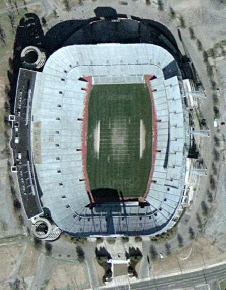 54 mi Stadium & arenaLegion Field
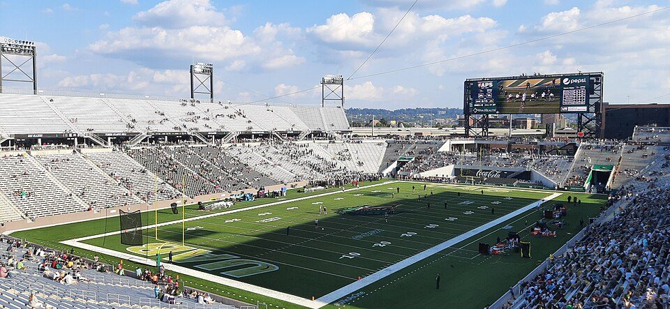 52 mi Stadium & arenaProtective Stadium
 210 mi MuseumInternational Motorsports Hall of Fame
 51 mi MuseumSloss Furnaces
 53 mi Stadium & arenaLegacy Arena
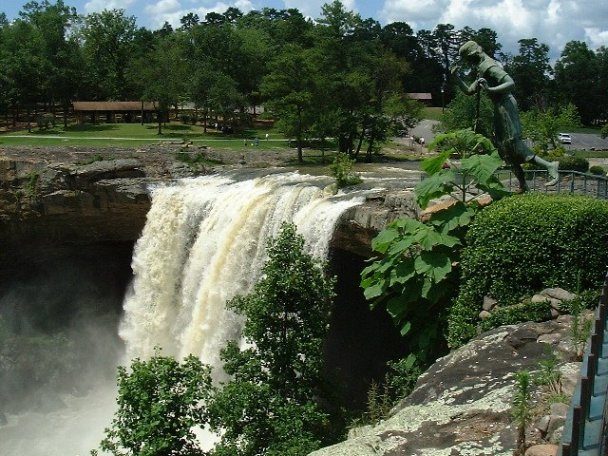 329 mi WaterfallNoccalula Falls Park
 58 mi National PreserveLittle River Canyon National Preserve782K visitors a year
Photo credits
Cheaha Mountain: Amann09 (talk · contribs), Public domain · Legion Field: USGS, Public domain · Protective Stadium: Unknown, CC BY-SA 4.0 · International Motorsports Hall of Fame: BWard 1997, CC BY 4.0 · Sloss Furnaces: DXR, CC BY-SA 4.0 · Legacy Arena: AuburnShuffle, CC0 · Noccalula Falls Park: Thejammer (talk), Public domain · Little River Canyon National Preserve: Richard A. Weaver, CC BY-SA 4.0


Freedom Riders: common questions
What town is Freedom Riders National Monument near?
Anniston, AL, about 2 miles northeast.
When is the best time to visit Freedom Riders National Monument?
March, April, May, October and November, with highs of 64–81°.
How far is Freedom Riders National Monument from Atlanta?
About 81 miles east of Atlanta, as the crow flies.
What is the closest airport to Freedom Riders National Monument?
Birmingham-Shuttlesworth (BHM), about 53 miles away.
Where should I stay near Freedom Riders National Monument?
Oxford (5 mi, 27 places to stay), Anniston (2 mi, 13 places to stay) and Lincoln (18 mi, 22 places to stay).
Tips for visiting, from Anniston
Tips will appear here once someone posts in Anniston’s Town Square.
Sources: National Park Service · ski areas © OpenSkiMap / OpenStreetMap contributors · Wikidata · Wikipedia readership · NOAA climate normals · U.S. Census.