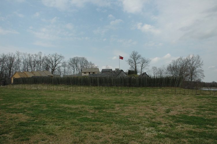
Fort Loudoun
Fort Loudoun was a British fort located in what is now Monroe County, Tennessee. The site is 2 mi east of Vonore. Add Craighead Caverns, 13 mi away, to a visit.

A landmark, 2 mi east of Vonore
Loudon is the nearest base
Loudon is 13 miles northwest, with 5 places to stay. Where to stay ↓
Best months: Apr, May, Sep and Oct
April, May, September and October are the mild months, with highs of 72–83°. When to go ↓
Written from NOAA 1991–2020 normals, Overture places to stay, Census town figures, Wikidata and Wikipedia.
When to go
Plan a visit to Fort Loudoun around the weather below.
Fort Loudoun
Fort Loudoun was a British fort located in what is now Monroe County, Tennessee. Constructed from 1756 until 1757 to help garner Cherokee support for the British at the outset of the French and Indian War, the fort was one of the first significant British outposts west of the Appalachian Mountains. The fort was designed by John William Gerard de Brahm, while its construction was supervised by Captain Raymond Demeré; the fort's garrison was commanded by Demeré's brother, Paul Demeré. It was named for the Earl of Loudoun, the commander of British forces in North America at the time.
- Type
- Landmark
- Listed
- National Historic Landmark · National Register of Historic Places (1966)
- Wikipedia readers
- 9.5K a year
Staying near Fort Loudoun
Close by, places to stay are in Knoxville (134) and Sweetwater (17).
Knoxville
The closest town with somewhere to stay.
202,021 people
30 mi northeast of Fort Loudoun
Compare 8 towns
| Town | From Fort Loudoun | Drive | Places to stay | People | Typical home | Safety |
|---|---|---|---|---|---|---|
| Knoxville | 30 mi northeast | 45 min | 134 114 hotels · 8 motels · 4 inns & B&Bs · 6 lodges & cabins · 2 campgrounds | 202,021 | $240K | D |
| Sweetwater | 15 mi west | 25 min | 17 11 hotels · 2 motels · 1 inn or B&B · 2 campgrounds · 1 RV park | 6,706 | $178K | C |
| Vonore | 2 mi west | 5 min | 4 4 hotels | 1,715 | $291K | C− |
| Townsend 29% vacation homes | 26 mi east | 40 min | 58 13 hotels · 2 motels · 6 inns & B&Bs · 22 lodges & cabins · 14 campgrounds · 1 RV park | 640 | $371K | — |
| Lenoir City | 16 mi north | 25 min | 14 8 hotels · 4 motels · 1 lodge or cabins · 1 campground | 12,530 | $252K | C |
| Kahite | 3 mi southwest | 5 min | 3 3 campgrounds | 892 | $668K | — |
| Alcoa | 20 mi northeast | 30 min | 21 18 hotels · 1 motel · 2 lodges & cabins | 13,689 | $277K | C |
| Tellico Plains | 17 mi south | 25 min | 10 1 hotel · 1 inn or B&B · 4 lodges & cabins · 3 campgrounds · 1 RV park | 778 | $188K | — |
Getting there
Nearest airports with airline service
After Fort Loudoun
More places people know lie within 55 miles.
 Big draw40 mi Theme parkDollywood3.1M visitors a year
 Big draw129 mi Stadium & arenaNeyland Stadium
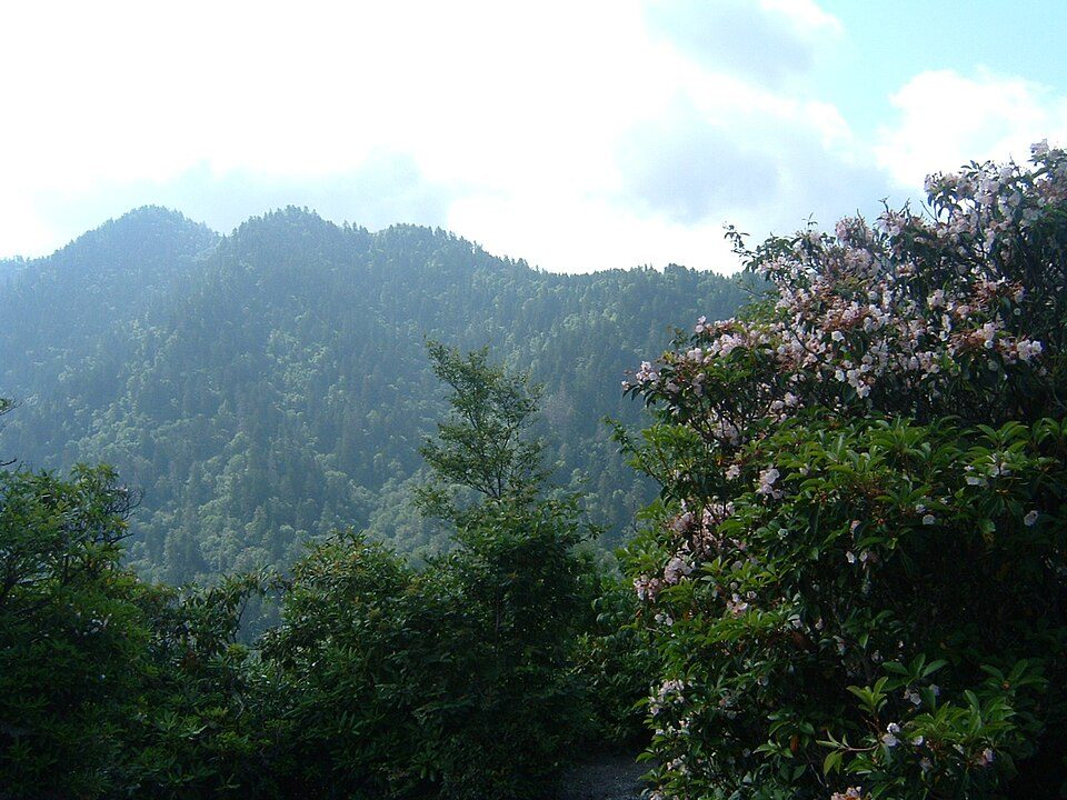 Big draw44 mi National ParkGreat Smoky Mountains National Park11.5M visitors a year
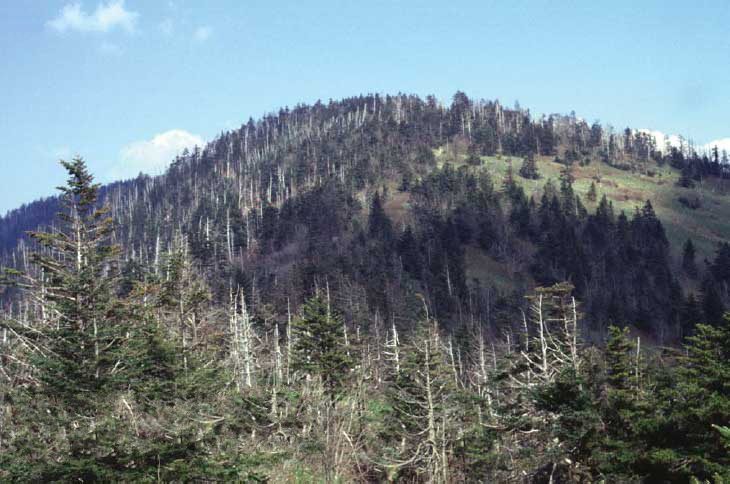 Big draw40 mi MountainKuwohi
 213 mi CaveCraighead Caverns
 55 mi MountainBrasstown Bald
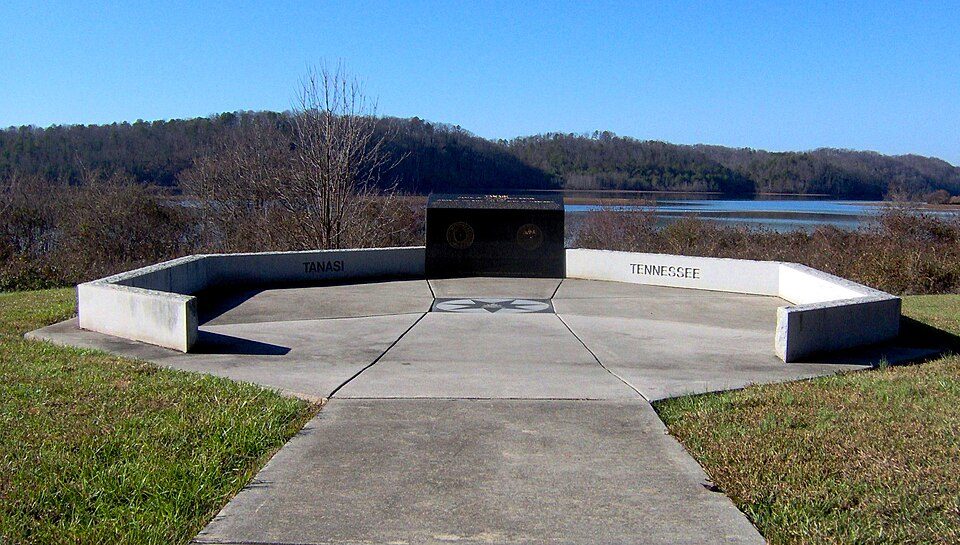 35 mi Ancient siteTanasi
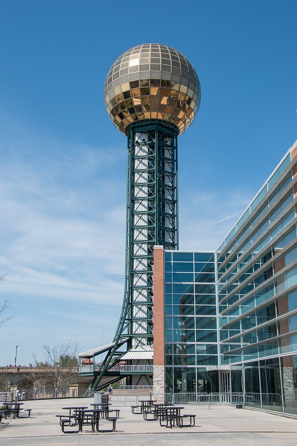 430 mi LookoutSunsphere
Photo credits
Dollywood: Brian Stansberry (photographer), CC BY 2.5 · Neyland Stadium: Neomrbungle, CC BY-SA 4.0 · Great Smoky Mountains National Park: Scott Basford, CC BY-SA 3.0 · Kuwohi: C. Kenneth Dodd, Jr., Public domain · Craighead Caverns: Brenda, CC BY 2.0 · Brasstown Bald: Unknown, Public domain · Tanasi: Brian Stansberry (photographer), CC BY 3.0 · Sunsphere: Ɱ, CC BY-SA 4.0


Before visiting Fort Loudoun
What town is Fort Loudoun near?
Vonore, TN, about 2 miles west.
When is the best time to visit Fort Loudoun?
April, May, September and October, with highs of 72–83°.
What is the closest airport to Fort Loudoun?
McGhee Tyson (TYS), about 19 miles away.
Where should I stay near Fort Loudoun?
Knoxville (30 mi, 134 places to stay), Sweetwater (15 mi, 17 places to stay) and Vonore (2 mi, 4 places to stay).
Questions for Vonore
Questions and tips go in Vonore’s Town Square.
Sources: National Park Service · ski areas © OpenSkiMap / OpenStreetMap contributors · Wikidata · Wikipedia readership · NOAA climate normals · U.S. Census.