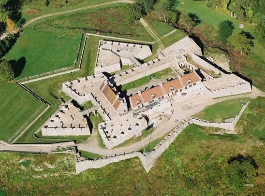
Fort Carillon
Fort Carillon, presently known as Fort Ticonderoga, was constructed by Pierre de Rigaud de Vaudreuil, Governor of New France, to protect Lake Champlain from a British invasion. Ticonderoga is where it stands. Its history begins in 1755.

A landmark inside Ticonderoga
Winters are cold
January nights drop to 8°, with about 59" of snow a year. When to go ↓
You can stay in Ticonderoga
Fort Carillon is inside Ticonderoga, which has 12 places to stay, so you won’t need a base farther out. Where to stay ↓
Established in 1755
Fort Carillon dates from 1755. About ↓
Best months: May, Jun, Jul, Aug and Sep
May, June, July, August and September are the mild months, with highs of 65–78°. When to go ↓
Written from NOAA 1991–2020 normals, Overture places to stay, Census town figures, Wikidata and Wikipedia.
The year’s weather
Here is how the weather at Fort Carillon changes month by month.
Fort Carillon
Fort Carillon, presently known as Fort Ticonderoga, was constructed by Pierre de Rigaud de Vaudreuil, Governor of New France, to protect Lake Champlain from a British invasion. Situated on the lake some 15 miles (24 km) south of Fort Saint-Frédéric, it was built to prevent an attack on Canada and slow the advance of the enemy long enough for reinforcements to arrive.
Assigned to remedy Fort Saint Frédéric's inability to resist a constant British threat to the south, French King's Engineer Michel Chartier de Lotbinière began construction of Fort Carillon where Lake George, at that time called Lac Saint Sacrement, joins Lake Champlain by the La Chute river. Construction began in October 1755.
- Type
- Landmark
- Established
- 1755
- Wikipedia readers
- 8K a year
A base for Fort Carillon
Hotels, motels or campgrounds are closest in Ticonderoga (12) and Schroon (29).
Compare 8 towns
| Town | From Fort Carillon | Drive | Places to stay | People | Typical home | Safety |
|---|---|---|---|---|---|---|
| Ticonderoga | in town | — | 12 2 hotels · 2 motels · 2 inns & B&Bs · 2 lodges & cabins · 4 campgrounds | 4,549 | $176K | — |
| Schroon 54% vacation homes | 19 mi west | 30 min | 29 7 hotels · 1 motel · 9 inns & B&Bs · 7 lodges & cabins · 5 campgrounds | 1,818 | $273K | — |
| Bolton 55% vacation homes | 23 mi southwest | 35 min | 41 16 hotels · 5 motels · 3 inns & B&Bs · 11 lodges & cabins · 6 campgrounds | 1,994 | $327K | — |
| Hague 59% vacation homes | 13 mi southwest | 20 min | 8 2 hotels · 2 motels · 1 inn or B&B · 2 lodges & cabins · 1 campground | 630 | $326K | — |
| Horicon 51% vacation homes | 18 mi southwest | 25 min | 14 2 hotels · 1 inn or B&B · 3 lodges & cabins · 7 campgrounds · 1 RV park | 1,457 | $295K | — |
| Brandon | 16 mi east | 25 min | 9 1 hotel · 1 motel · 6 inns & B&Bs · 1 campground | 4,173 | $228K | B− |
| Moriah | 16 mi northwest | 25 min | 9 3 hotels · 1 inn or B&B · 1 lodge or cabins · 2 campgrounds · 2 RV parks | 4,287 | $138K | — |
| Chester 38% vacation homes | 27 mi southwest | 40 min | 29 4 hotels · 4 motels · 3 inns & B&Bs · 7 lodges & cabins · 11 campgrounds | 3,064 | $306K | — |
Getting there
Nearest airports with airline service
Places to add to Fort Carillon
Each of these is within 57 miles.
 Big draw1in town LandmarkFort Ticonderoga
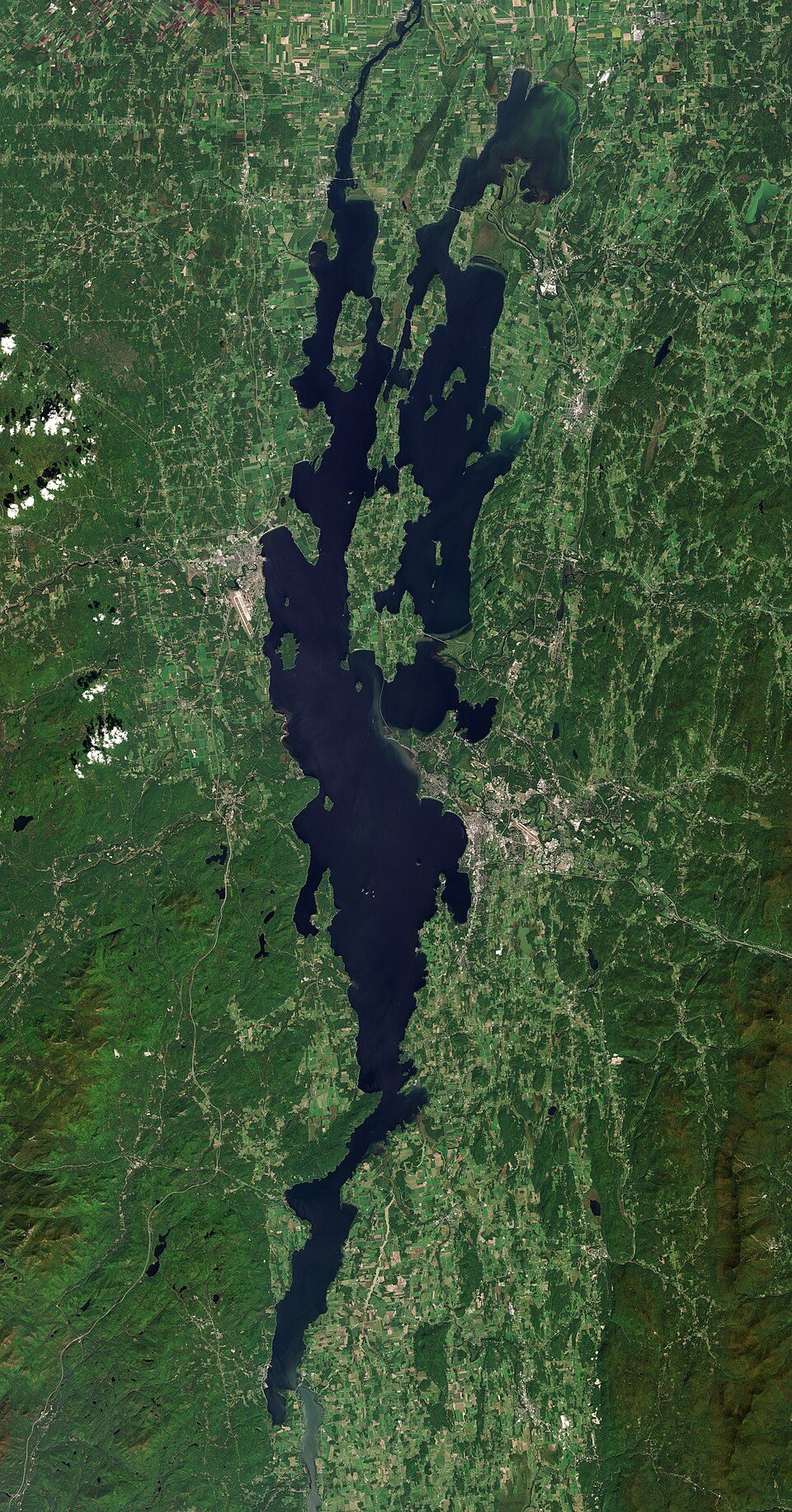 Big draw48 mi LakeLake Champlain
 217 mi LakeLake George
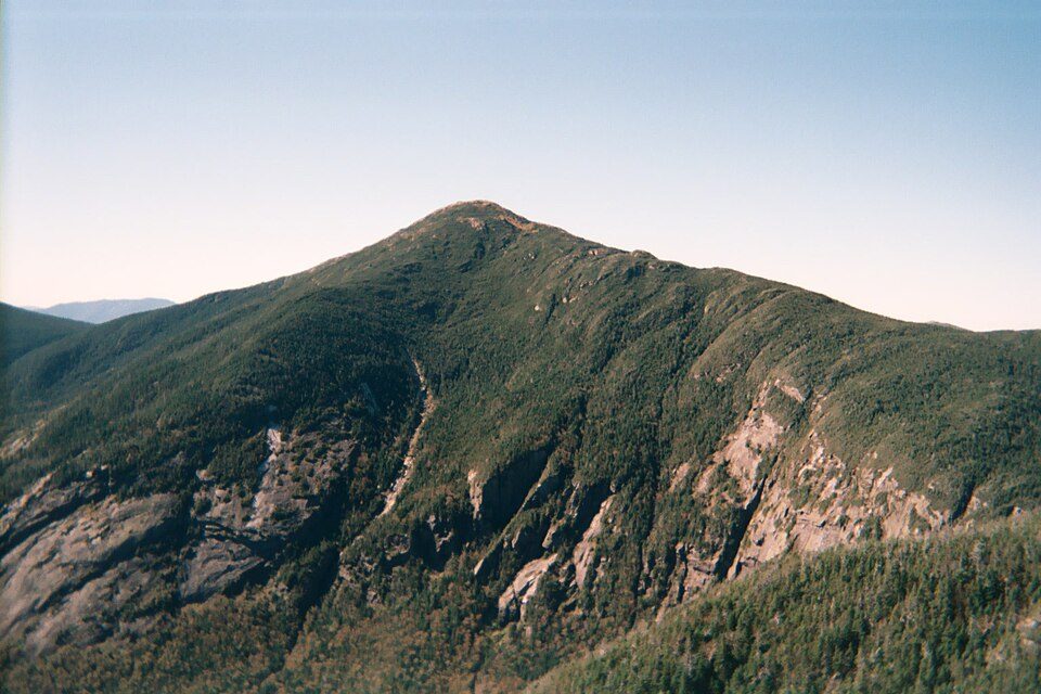 33 mi MountainMount Marcy
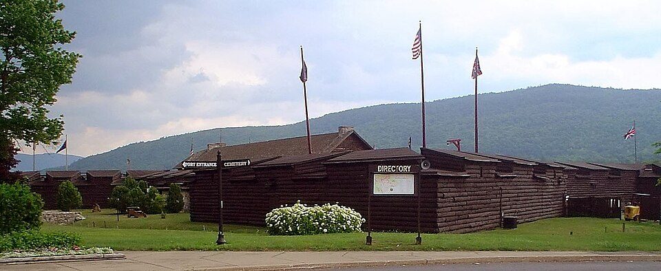 33 mi LandmarkFort William Henry
 48 mi State parkAdirondack Park
 37 mi Theme parkGreat Escape
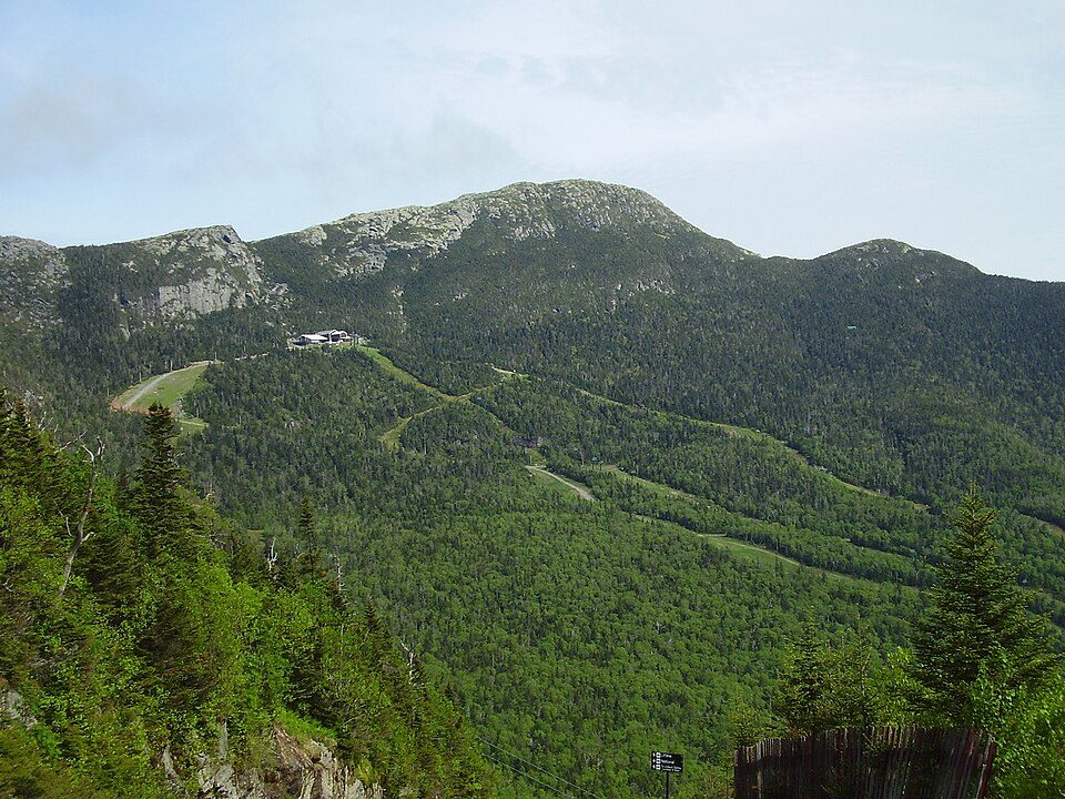 56 mi MountainMount Mansfield
Photo credits
Fort Ticonderoga: Mwanner, CC BY-SA 3.0 · Lake Champlain: Copernicus Sentinel-2, ESA, CC BY-SA 3.0 igo · Lake George: Sixlocal, CC BY-SA 3.0 · Mount Marcy: Daniel Tripp, Public domain · Fort William Henry: IrisKawling at en.wikipedia, Public domain · Adirondack Park: Original uploader was Mwanner at en.wikipedia Later version(s) were uploaded by, CC BY-SA 3.0 · Great Escape: Jared and Corin, CC BY-SA 2.0 · Mount Mansfield: Original uploader was Calzarette (Joe Calzarette) at en.wikipedia, Public domain


Questions before you go
Is Fort Carillon in Ticonderoga?
Yes. It’s inside Ticonderoga, NY.
When is the best time to visit Fort Carillon?
May, June, July, August and September, with highs of 65–78°.
What is the closest airport to Fort Carillon?
Rutland - Southern Vermont Regional (RUT), about 31 miles away. The nearest big hub is Albany (ALB), about 78 miles.
Where should I stay near Fort Carillon?
Ticonderoga (in town, 12 places to stay), Schroon (19 mi, 29 places to stay) and Bolton (23 mi, 41 places to stay).
Word from Ticonderoga
Be the first to share a tip in Ticonderoga’s Town Square.
Sources: National Park Service · ski areas © OpenSkiMap / OpenStreetMap contributors · Wikidata · Wikipedia readership · NOAA climate normals · U.S. Census.