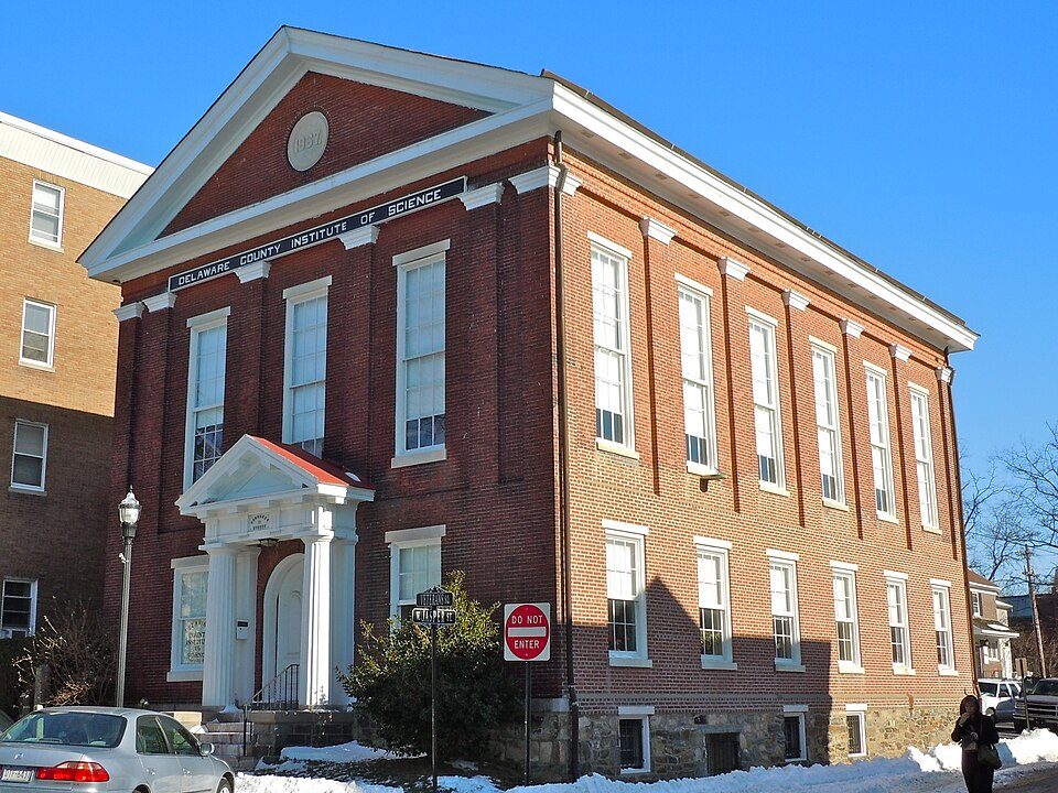
Delaware County Institute of Science
The Delaware County Institute of Science is a science and natural history museum, library and education center in Media, Pennsylvania.

A museum inside Media
Newtown Township is the nearest base
Newtown Township is 5 miles north, with 5 places to stay. Where to stay ↓
A day trip from Baltimore
Baltimore is about 78 miles southwest and New York City is about 92 miles northeast (straight-line). Where to stay ↓
Best months: Apr, May, Jun, Sep and Oct
April, May, June, September and October are the mild months, with highs of 64–82°. When to go ↓
An airport 9 miles away
Philadelphia (PHL) has airline service, about 9 miles from Delaware County Institute of Science.
Written from NOAA 1991–2020 normals, Overture places to stay, Census town figures and Wikipedia.
Weather, month by month
Typical highs and lows in Media. Green months are the mild ones.
Delaware County Institute of Science
The Delaware County Institute of Science is a science and natural history museum, library and education center in Media, Pennsylvania. It was organized in 1833 and contains exhibits of mounted animals and birds; fossils, shells and corals from around the world; an herbarium; a large collection of minerals; and a reference library and lecture hall for scientific presentations.
- Type
- Museum
Where to stay near Delaware County Institute of Science
The closest towns with hotels, motels or campgrounds are Media (3) and Philadelphia (168).
- 1USS New Jersey
- 2Lincoln Financial Field
- 3Xfinity Mobile Arena
- 4Independence Hall
- 5Eastern State Penitentiary
- 6Lynnewood Hall
- 7Schuylkill River
- 8Academy of Natural Sciences of Drexel University
Compare 8 towns
| Town | From Delaware County Institute of Science | Drive | Places to stay | People | Typical home | Safety |
|---|---|---|---|---|---|---|
| Media | in town | — | 3 1 hotel · 1 motel · 1 inn or B&B | 5,920 | $468K | B− |
| Philadelphia | 15 mi northeast | 25 min | 168 133 hotels · 2 motels · 17 inns & B&Bs · 9 lodges & cabins · 3 hostels · 4 campgrounds | 1,574,281 | $243K | D− |
| Upper Merion Township | 12 mi north | 20 min | 26 23 hotels · 1 motel · 2 inns & B&Bs | 36,674 | $455K | C− |
| Concord Township | 7 mi southwest | 10 min | 13 12 hotels · 1 lodge or cabins | 18,477 | $584K | — |
| Tinicum Township | 8 mi southeast | 10 min | 13 13 hotels | 3,985 | $207K | C− |
| Lower Merion Township | 10 mi northeast | 15 min | 12 9 hotels · 1 lodge or cabins · 2 campgrounds | 64,691 | $810K | B− |
| Radnor Township | 7 mi north | 10 min | 8 7 hotels · 1 inn or B&B | 32,930 | $834K | A− |
| Tredyffrin Township | 11 mi north | 15 min | 10 7 hotels · 1 motel · 2 inns & B&Bs | 31,818 | $710K | — |
Day trip from
Straight-line miles.
Getting there
Nearest airports with airline service
Also near Delaware County Institute of Science
Other well-known places within 18 miles. Numbered ones are on the map above.
 Big draw114 mi MuseumUSS New Jersey
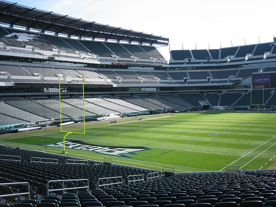 Big draw212 mi Stadium & arenaLincoln Financial Field
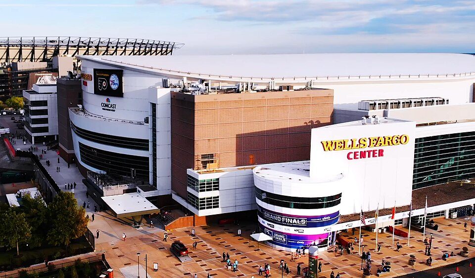 Big draw312 mi Stadium & arenaXfinity Mobile Arena
 Big draw413 mi Ancient siteIndependence Hall3.0M visitors a year
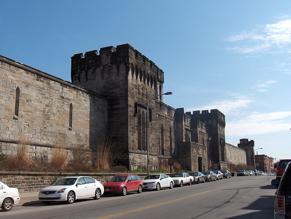 Big draw512 mi MuseumEastern State Penitentiary
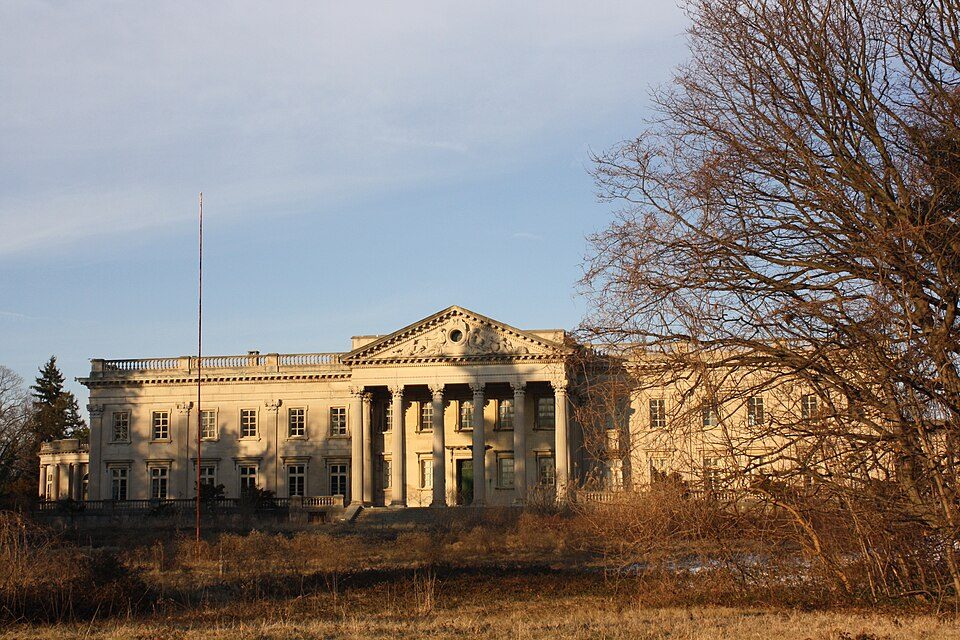 Big draw617 mi MuseumLynnewood Hall
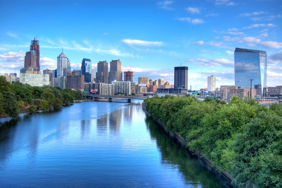 711 mi Park & preserveSchuylkill River
 812 mi MuseumAcademy of Natural Sciences of Drexel University
Photo credits
USS New Jersey: Camera Operator: PH3 BRYANT, Public domain · Lincoln Financial Field: The original uploader was Betp at French Wikipedia., CC BY-SA 3.0 · Xfinity Mobile Arena: Jen Smith, CC BY 3.0 · Independence Hall: Mys 721tx, CC BY-SA 3.0 · Eastern State Penitentiary: Davidt8, Public domain · Lynnewood Hall: Shuvaev, CC BY-SA 3.0 · Schuylkill River: Emy111 at English Wikipedia, Public domain · Academy of Natural Sciences of Drexel University: See below, CC BY-SA 3.0


Visiting Delaware County Institute of Science
Is Delaware County Institute of Science in Media?
Yes. It’s inside Media, PA.
When is the best time to visit Delaware County Institute of Science?
April, May, June, September and October, with highs of 64–82°.
How far is Delaware County Institute of Science from Baltimore and Newark?
About 78 miles southwest of Baltimore and about 85 miles northeast of Newark, as the crow flies.
What is the closest airport to Delaware County Institute of Science?
Philadelphia (PHL), about 9 miles away.
Where should I stay near Delaware County Institute of Science?
Philadelphia (15 mi, 168 places to stay), Upper Merion Township (12 mi, 26 places to stay) and Concord Township (7 mi, 13 places to stay).
Tips from people in Media
No tips yet. Ask, or answer, in Media’s Town Square.
Sources: National Park Service · ski areas © OpenSkiMap / OpenStreetMap contributors · Wikidata · Wikipedia readership · NOAA climate normals · U.S. Census.