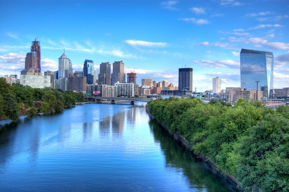
Schuylkill River
The Schuylkill River ( SKOOL-kil, locally SKOO-kəl) is a river in eastern Pennsylvania in the United States.

A park & preserve inside Philadelphia
One of the most looked-up attractions in the U.S.
About 81K people a year read its Wikipedia article, more than for 96% of the 7,799 attractions we track.
You can stay in Philadelphia
Schuylkill River is inside Philadelphia, which has 168 places to stay, so you won’t need a base farther out. Where to stay ↓
A day trip from New York City
New York City is about 85 miles northeast and Baltimore is about 86 miles southwest (straight-line). Where to stay ↓
Best months: Apr, May, Jun, Sep and Oct
April, May, June, September and October are the mild months, with highs of 64–83°. When to go ↓
An airport 3 miles away
Philadelphia (PHL) has airline service, about 3 miles from Schuylkill River.
Written from NOAA 1991–2020 normals, Overture places to stay, Census town figures and Wikipedia.
Weather, month by month
Typical highs and lows in Philadelphia. Green months are the mild ones.
Schuylkill River
The Schuylkill River ( SKOOL-kil, locally SKOO-kəl) is a river in eastern Pennsylvania in the United States. It flows for 135 miles (217 km) from Pottsville southeast to Philadelphia, the sixth-largest city in the US, where it joins the Delaware River as one of its largest tributaries.
The river's watershed of about 2,000 mi2 (5,180 km2) lies entirely within the state of Pennsylvania, stretching from the Ridge-and-Valley Appalachians through the Piedmont to the Atlantic Plain.
- Type
- Park & preserve
- Wikipedia readers
- 81K a year
Where to stay near Schuylkill River
The closest towns with hotels, motels or campgrounds are Philadelphia (168) and Tinicum Township (13).
- 1Lincoln Financial Field
- 2Xfinity Mobile Arena
- 3USS New Jersey
- 4Independence Hall
- 5Eastern State Penitentiary
- 6Academy of Natural Sciences of Drexel University
- 7Citizens Bank Park
- 8Lynnewood Hall
Compare 8 towns
| Town | From Schuylkill River | Drive | Places to stay | People | Typical home | Safety |
|---|---|---|---|---|---|---|
| Philadelphia | in town | — | 168 133 hotels · 2 motels · 17 inns & B&Bs · 9 lodges & cabins · 3 hostels · 4 campgrounds | 1,574,281 | $243K | D− |
| Tinicum Township | 3 mi west | 5 min | 13 13 hotels | 3,985 | $207K | C− |
| Bellmawr | 6 mi east | 10 min | 11 8 hotels · 3 motels | 11,874 | $239K | B− |
| Mount Laurel Township | 16 mi east | 25 min | 34 31 hotels · 3 motels | 47,738 | $357K | C |
| Cherry Hill Township | 11 mi east | 15 min | 14 11 hotels · 3 campgrounds | 79,965 | $386K | — |
| Lower Merion Township | 11 mi northwest | 15 min | 12 9 hotels · 1 lodge or cabins · 2 campgrounds | 64,691 | $810K | B− |
| Upper Merion Township | 17 mi northwest | 25 min | 26 23 hotels · 1 motel · 2 inns & B&Bs | 36,674 | $455K | C− |
| West Deptford Township | 3 mi south | 5 min | 5 2 hotels · 3 motels | 22,681 | $294K | B |
Day trip from
Straight-line miles.
Getting there
Nearest airports with airline service
Also near Schuylkill River
Other well-known places within 14 miles. Numbered ones are on the map above.
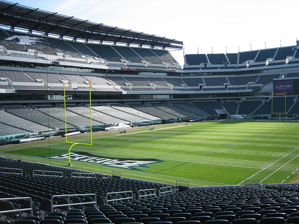 Big draw12 mi Stadium & arenaLincoln Financial Field
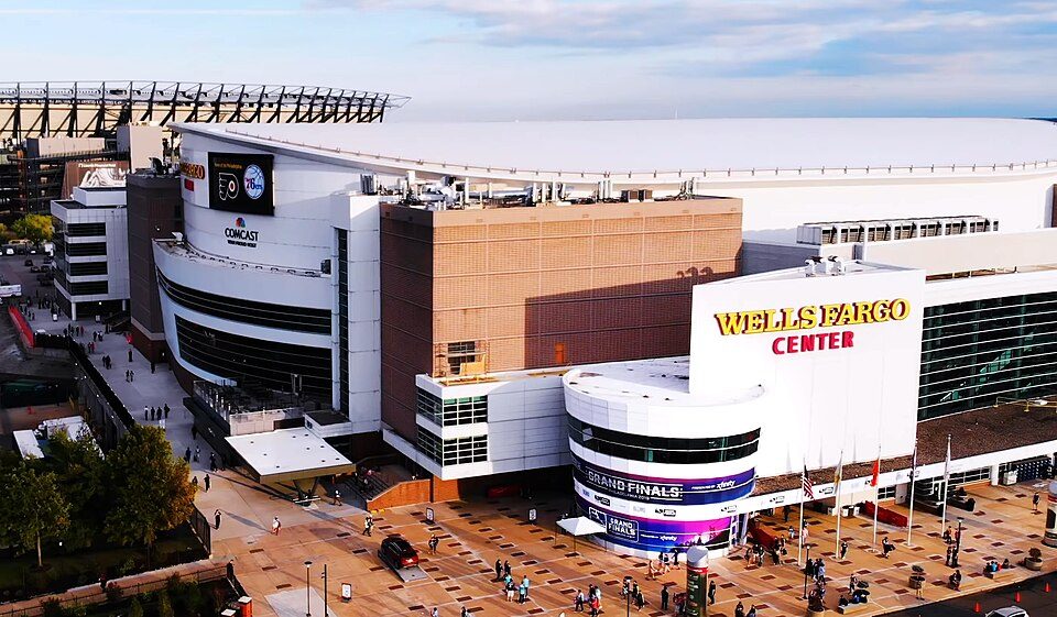 Big draw22 mi Stadium & arenaXfinity Mobile Arena
 Big draw35 mi MuseumUSS New Jersey
 Big draw45 mi Ancient siteIndependence Hall3.0M visitors a year
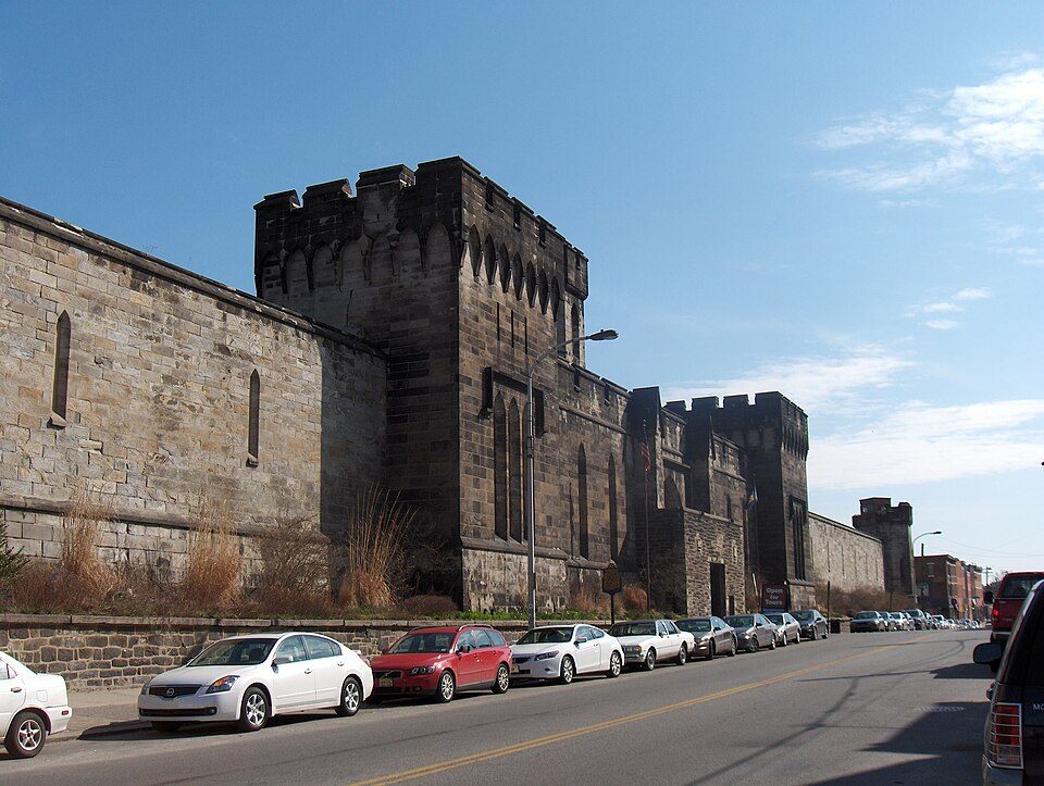 Big draw56 mi MuseumEastern State Penitentiary
 65 mi MuseumAcademy of Natural Sciences of Drexel University
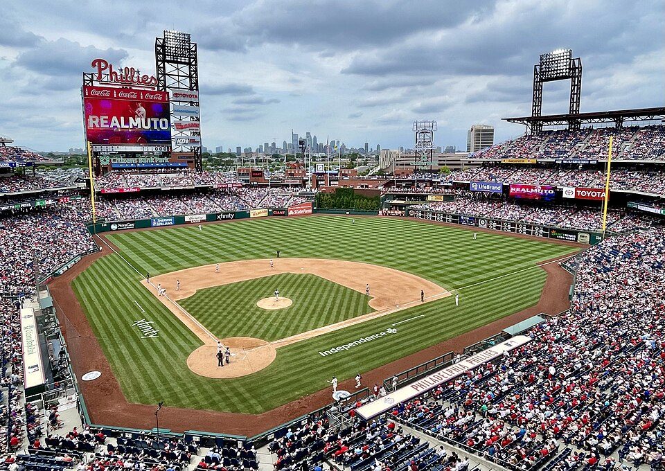 72 mi Stadium & arenaCitizens Bank Park
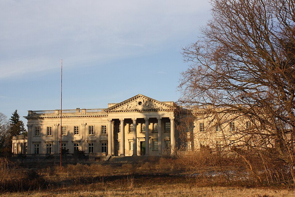 Big draw813 mi MuseumLynnewood Hall
Photo credits
Lincoln Financial Field: The original uploader was Betp at French Wikipedia., CC BY-SA 3.0 · Xfinity Mobile Arena: Jen Smith, CC BY 3.0 · USS New Jersey: Camera Operator: PH3 BRYANT, Public domain · Independence Hall: Mys 721tx, CC BY-SA 3.0 · Eastern State Penitentiary: Davidt8, Public domain · Academy of Natural Sciences of Drexel University: See below, CC BY-SA 3.0 · Citizens Bank Park: Chris6d, CC BY-SA 4.0 · Lynnewood Hall: Shuvaev, CC BY-SA 3.0


Visiting Schuylkill River
Is Schuylkill River in Philadelphia?
Yes. It’s inside Philadelphia, PA.
When is the best time to visit Schuylkill River?
April, May, June, September and October, with highs of 64–83°.
How far is Schuylkill River from Newark and Jersey City?
About 79 miles northeast of Newark and about 83 miles northeast of Jersey City, as the crow flies.
What is the closest airport to Schuylkill River?
Philadelphia (PHL), about 3 miles away.
Where should I stay near Schuylkill River?
Philadelphia (in town, 168 places to stay), Tinicum Township (3 mi, 13 places to stay) and Bellmawr (6 mi, 11 places to stay).
Tips from people in Philadelphia
No tips yet. Ask, or answer, in Philadelphia’s Town Square.
Sources: National Park Service · ski areas © OpenSkiMap / OpenStreetMap contributors · Wikidata · Wikipedia readership · NOAA climate normals · U.S. Census.