
Cesar E. Chavez Plaza
Cesar Chavez Plaza, or Cesar Chavez Park, is a city park in Sacramento, California, named after César Chávez. It dates from 1849. Sutter's Fort comes next on our list, 1.4 mi away.
A garden inside Sacramento
Summers are hot
July and August highs run 93–94°, and about 76 days a year reach 90°. When to go ↓
You can stay in Sacramento
Cesar E. Chavez Plaza is inside Sacramento, which has 125 places to stay, so you won’t need a base farther out. Where to stay ↓
Established in 1849
Cesar E. Chavez Plaza dates from 1849. About ↓
Best months: Mar, Apr, May, Oct and Nov
March, April, May, October and November are the mild months, with highs of 66–81°. When to go ↓
An airport 9 miles away
Sacramento (SMF) has airline service, about 9 miles from Cesar E. Chavez Plaza.
Written from NOAA 1991–2020 normals, Overture places to stay, Census town figures, Wikidata and Wikipedia.
When to go
Each month’s highs and lows around Cesar E. Chavez Plaza are below.
Cesar E. Chavez Plaza
Cesar Chavez Plaza, or Cesar Chavez Park, is a city park in Sacramento, California, named after César Chávez. For more than a century the downtown square has been a focal point for community activities, including the Farmers' Market, music concerts, and community rallies.
- Type
- Garden
- Established
- 1849
- Wikipedia readers
- 1.5K a year
Overnight near Cesar E. Chavez Plaza
Hotels, motels or campgrounds are closest in Sacramento (125) and West Sacramento (33).
- 1Sutter's Fort
- 2Governor's Mansion State Historic Park
- 3ARCO Arena
- 4California State Railroad Museum
- 5Hornet Stadium
- 6Leland Stanford Mansion State Historic Park
- 7Crocker Art Museum
Compare 8 towns
| Town | From Cesar E. Chavez Plaza | Drive | Places to stay | People | Typical home | Safety |
|---|---|---|---|---|---|---|
| Sacramento | in town | — | 125 98 hotels · 13 motels · 4 inns & B&Bs · 2 lodges & cabins · 2 hostels · 3 campgrounds · 3 RV parks | 536,449 | $506K | D |
| West Sacramento | 4 mi southwest | 5 min | 33 11 hotels · 13 motels · 2 inns & B&Bs · 2 lodges & cabins · 2 campgrounds · 3 RV parks | 56,216 | $526K | C+ |
| Arden-Arcade | 6 mi east | 10 min | 10 6 hotels · 2 motels · 1 campground · 1 RV park | 94,994 | $560K | — |
| Rancho Cordova | 14 mi east | 20 min | 22 19 hotels · 2 motels · 1 campground | 87,554 | $478K | C− |
| Davis | 13 mi west | 20 min | 20 19 hotels · 1 inn or B&B | 66,110 | $866K | C |
| North Highlands | 9 mi northeast | 15 min | 11 7 hotels · 2 motels · 2 RV parks | 47,957 | $368K | — |
| Roseville | 16 mi northeast | 25 min | 23 20 hotels · 1 motel · 1 lodge or cabins · 1 campground | 167,302 | $661K | C+ |
| Woodland | 15 mi northwest | 25 min | 18 11 hotels · 2 motels · 2 inns & B&Bs · 2 lodges & cabins · 1 RV park | 62,513 | $548K | C |
Day trip from
Straight-line miles.
Getting there
Nearest airports with airline service
More to see nearby
These well-known sights sit within 41 miles.
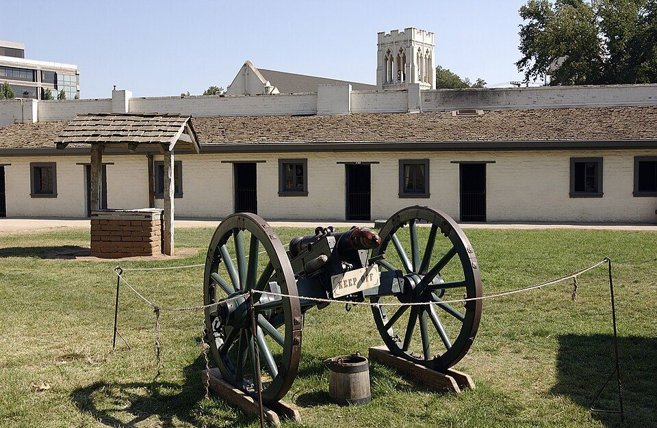 1in town State parkSutter's Fort
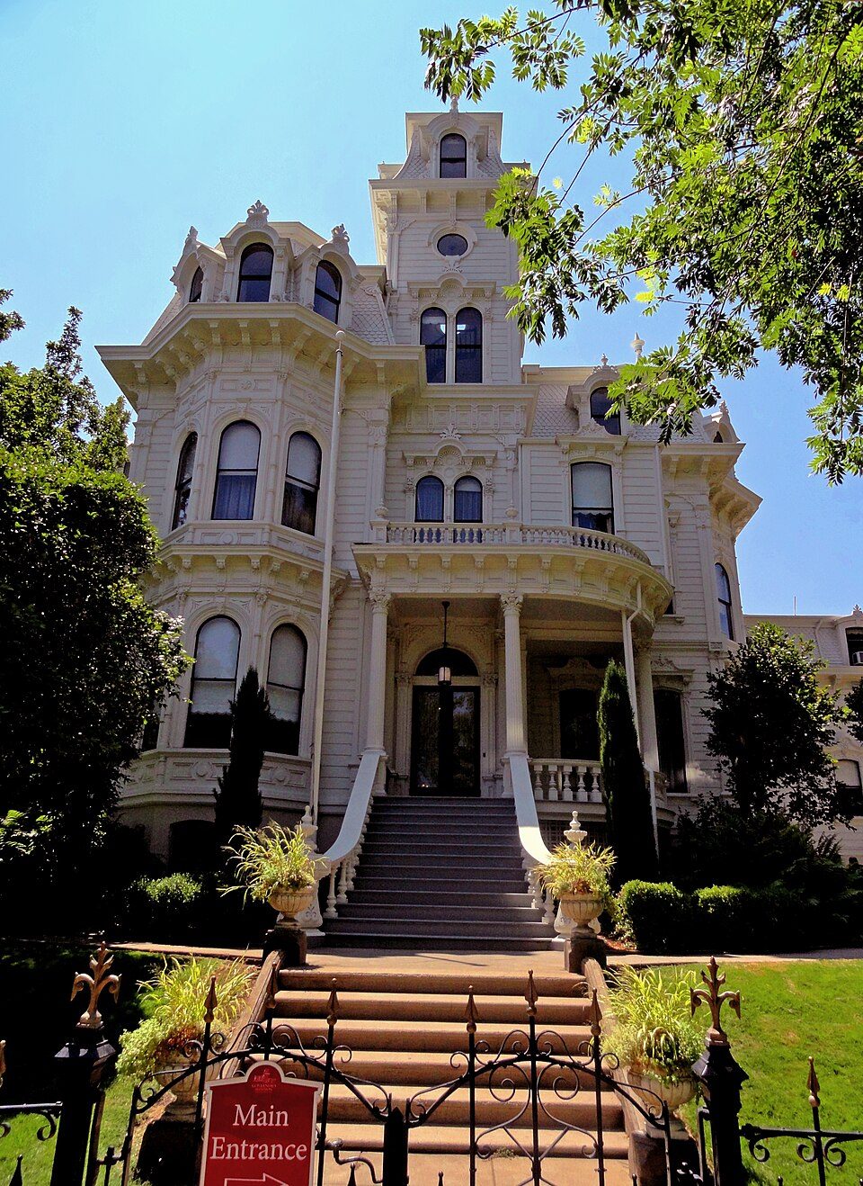 2in town State parkGovernor's Mansion State Historic Park
 35 mi Stadium & arenaARCO Arena
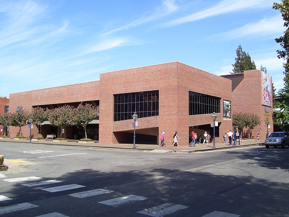 4in town MuseumCalifornia State Railroad Museum500K visitors a year
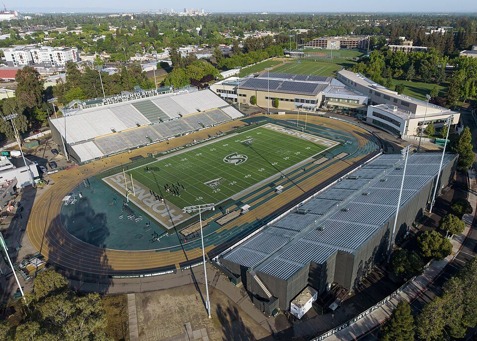 54 mi Stadium & arenaHornet Stadium
 6in town State parkLeland Stanford Mansion State Historic Park
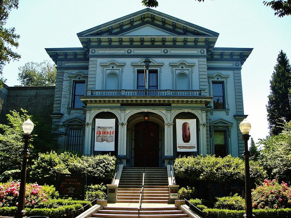 7in town MuseumCrocker Art Museum
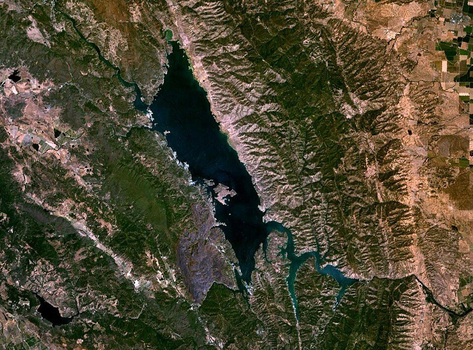 40 mi LakeLake Berryessa
Photo credits
Sutter's Fort: Ian Howard, CC BY 2.5 · Governor's Mansion State Historic Park: Mark James Miller, CC BY 3.0 · ARCO Arena: CLopez63, CC BY-SA 3.0 · California State Railroad Museum: The original uploader was Swampyank at English Wikipedia., CC BY-SA 3.0 · Hornet Stadium: Quintin Soloviev, CC BY 4.0 · Leland Stanford Mansion State Historic Park: M.Mierzwa. MCalamari at en.wikipedia, Public domain · Crocker Art Museum: Amadscientist Mark James Miller, CC BY 3.0 · Lake Berryessa: Unknown, Public domain


What people ask about Cesar E. Chavez Plaza
Is Cesar E. Chavez Plaza in Sacramento?
Yes. It’s inside Sacramento, CA.
When is the best time to visit Cesar E. Chavez Plaza?
March, April, May, October and November, with highs of 66–81°.
How far is Cesar E. Chavez Plaza from Stockton and Oakland?
About 43 miles south of Stockton and about 69 miles southwest of Oakland, as the crow flies.
What is the closest airport to Cesar E. Chavez Plaza?
Sacramento (SMF), about 9 miles away.
Where should I stay near Cesar E. Chavez Plaza?
Sacramento (in town, 125 places to stay), West Sacramento (4 mi, 33 places to stay) and Arden-Arcade (6 mi, 10 places to stay).
Inside knowledge from Sacramento
Start the conversation in Sacramento’s Town Square.
Sources: National Park Service · ski areas © OpenSkiMap / OpenStreetMap contributors · Wikidata · Wikipedia readership · NOAA climate normals · U.S. Census.